
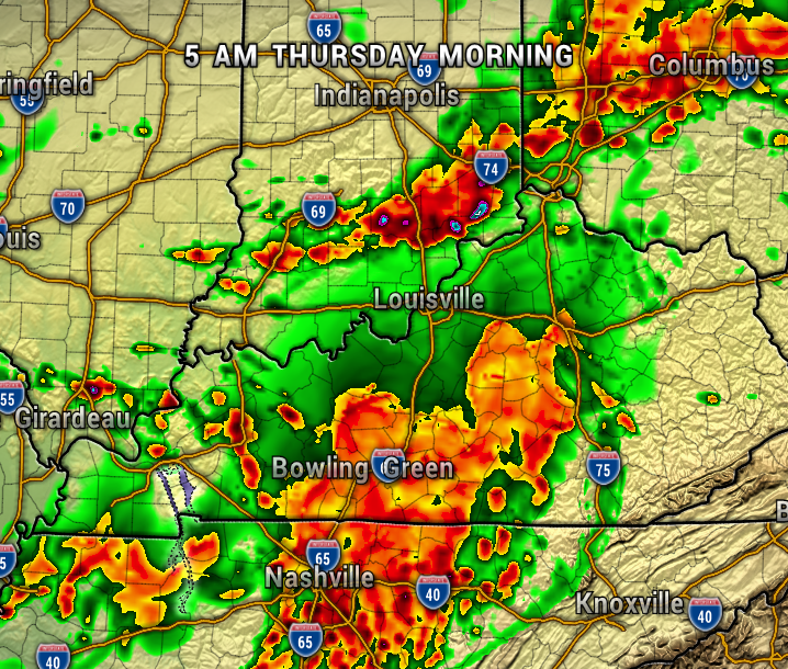
A front will be moving through the region overnight bringing a chance of strong to severe thunderstorms. The overall severe weather threat is low, but gusty winds, heavy rain, and frequent lightning will be possible, especially after midnight.
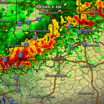
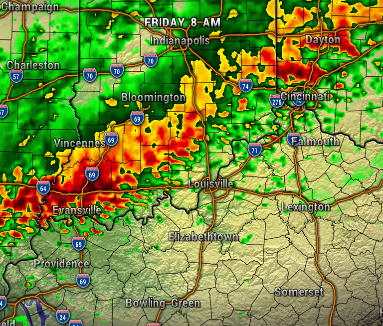
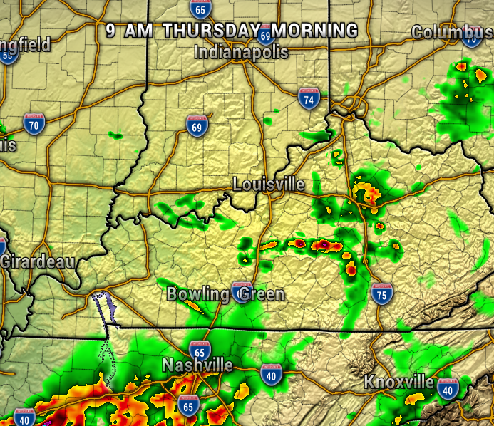
The map below shows a bunch of the activity around 5 AM, although storms will be possible sooner. By mid-morning Thursday most of the rain will be tapering off to the east.
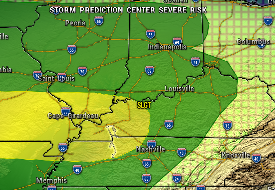
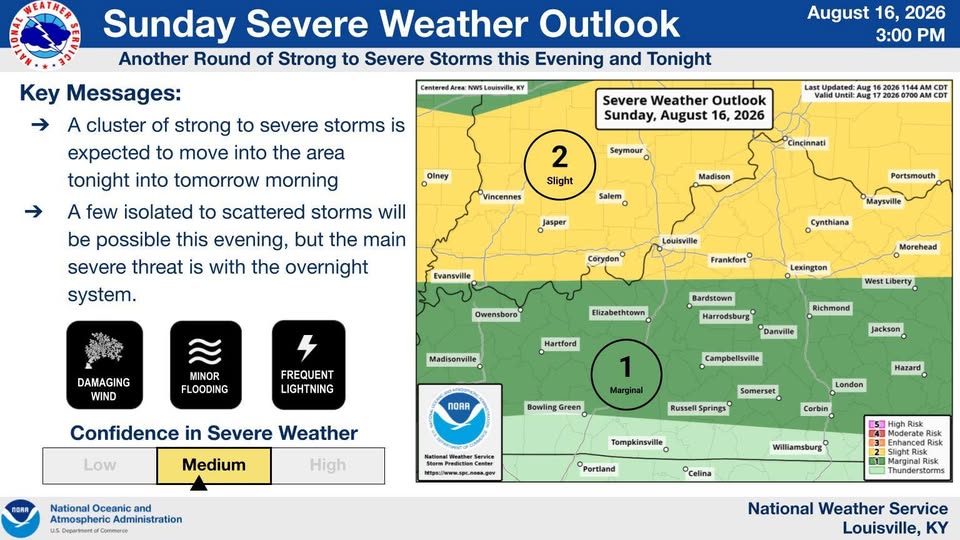
The Storm Prediction Center has our area under a Marginal Risk of Severe Storms (level 1 of 5). We have a Slight Risk of Excessive Rainfall. Some areas could receive 1-3″ of rainfall.
If you are out early, just keep an eye out for ponding of water on the roadways.
However much rainfall we get will add on to what has already been a very wet summer. Our summer currently ranks 6th wettest at over 18″ of rainfall.
-Meteorologist Ben Peine