
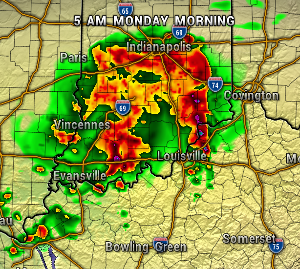
5 AM
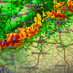
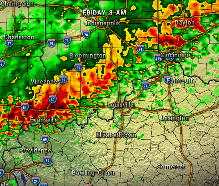
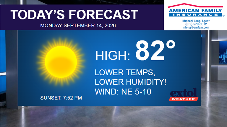
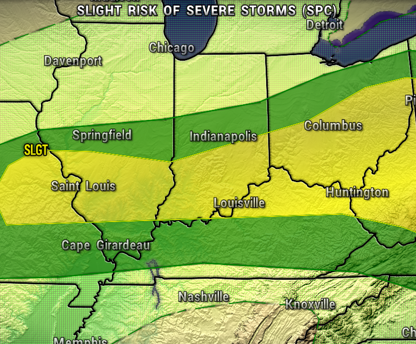
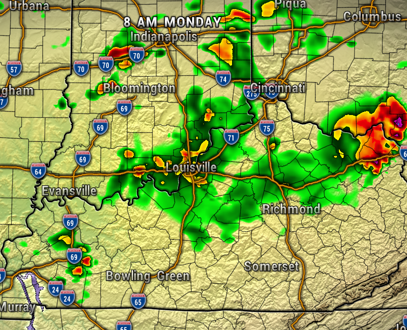
A round of strong to severe storms is possible after midnight with damaging wind, frequent lightning, and heavy rain. These storms will be firing up ahead of a front that will bring “less hot” conditions this week. The Storm Prediction Center has much of our area under a Slight Risk of Severe Storms (Level 2 of 5).
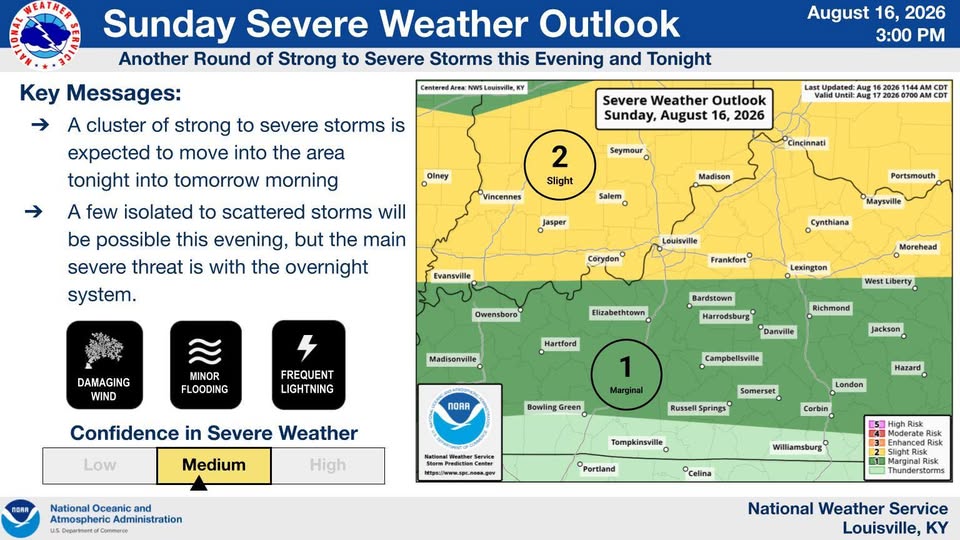
The maps below show the storms moving in overnight and moving east by sunrise. Lingering spotty showers are likely behind the complex of storms Monday morning and afternoon. Don’t be surprised if your phone wakes you up with a Severe Thunderstorm Warning. As with any late night event, make sure your alerts are on and ringer turned up. Get the Extol Media app for more weather information.
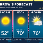
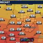
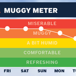
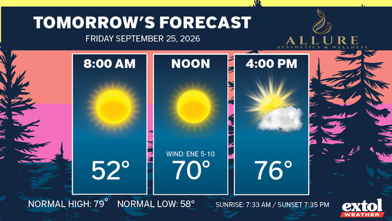
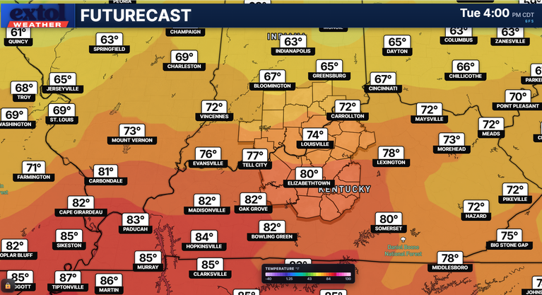
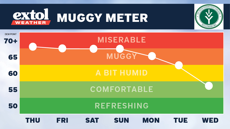
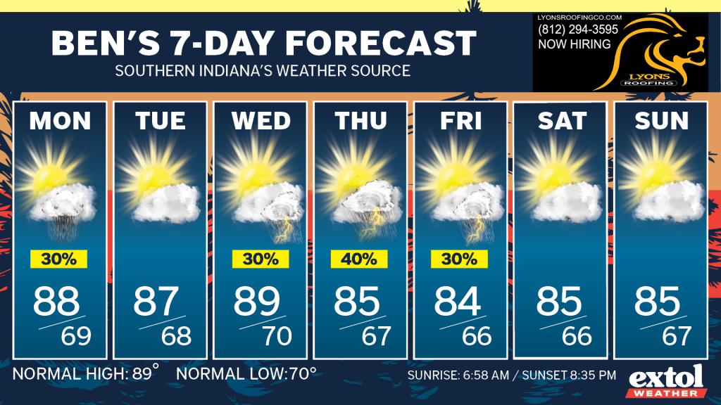
Another front could bring more unsettled weather and rain/storms chances Wednesday through Friday. Thankfully, this week won’t be nearly as hot.
-Meteorologist Ben Peine