

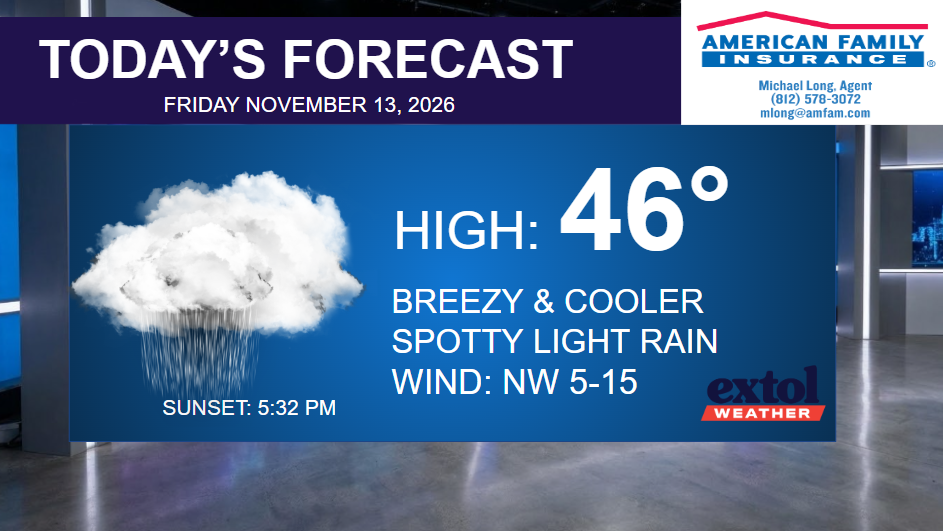
It is feeling and looking a bit like winter today – cloudy, cold, breezy, with occasional light rain. There is a very small chance of a few snowflakes (or graupel, small snowballs) could mix in with a few steadier showers. So, bundle up!
Expect highs today in the 40s with wind chills in the 30s. Our coldest afternoon of our fall season so far. Winds from the northwest at 5-15 mph.
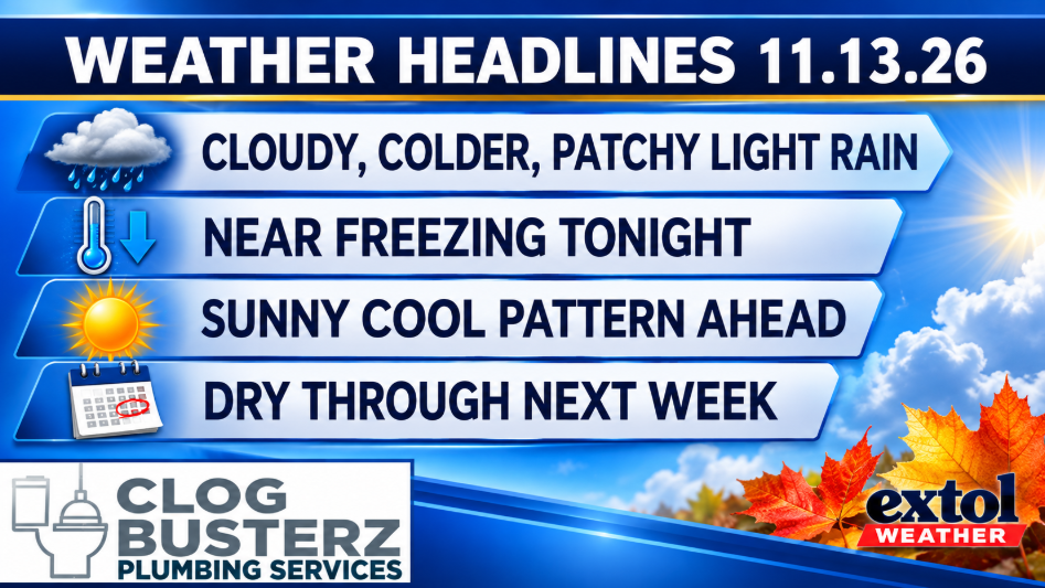

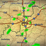
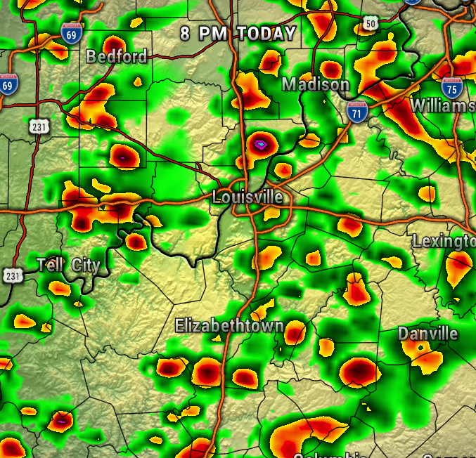
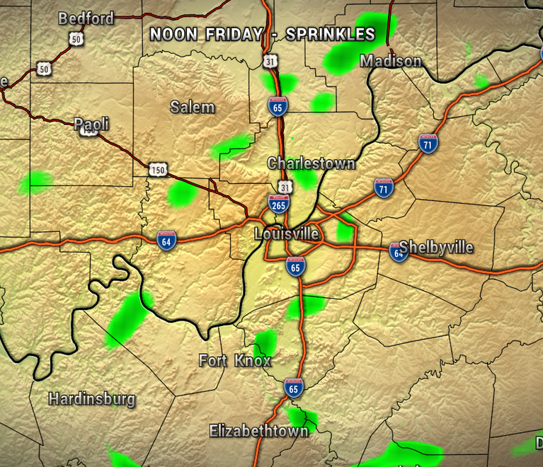
The map below shows the return of scattered light rain showers through this afternoon. Trending drier for most by late afternoon and evening. Clearing and cold tonight with lows near freezing.

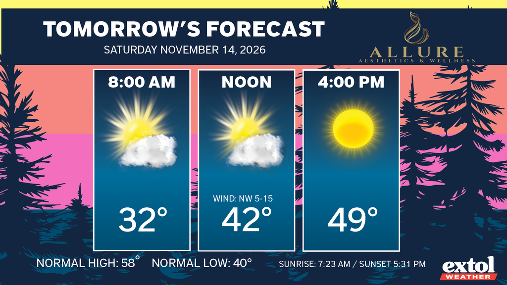
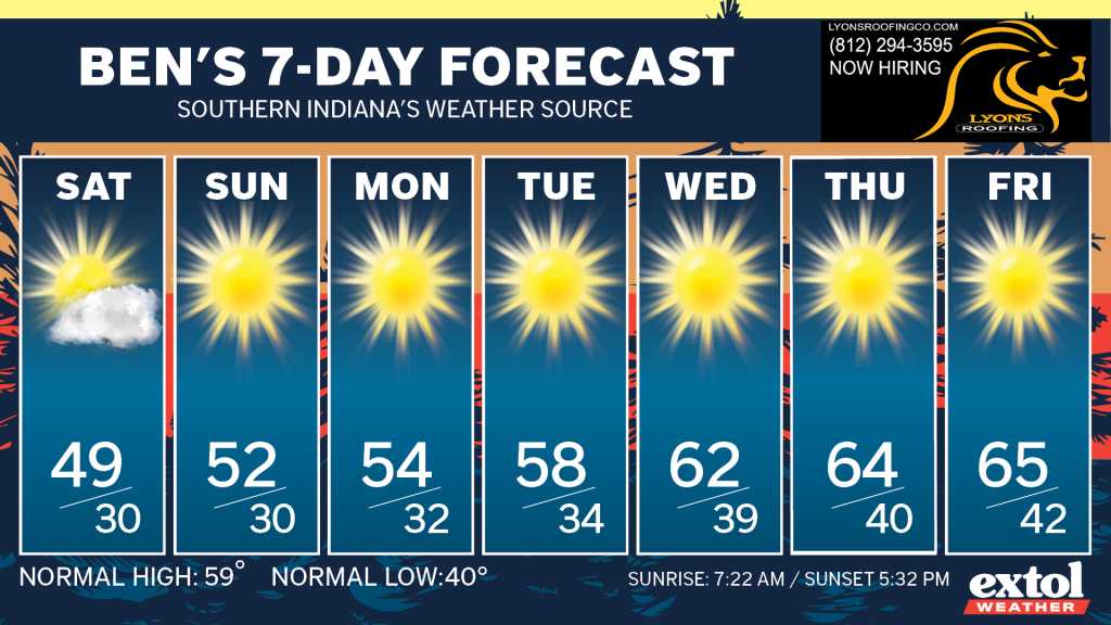
Sunshine returns tomorrow, but it will stay chilly with highs in the upper 40s. About 10° below normal. Our long-range pattern will feature cool afternoons and cold nights. A long-lasting dry spell as well through next week.
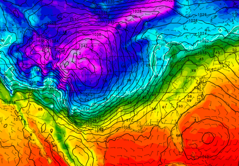
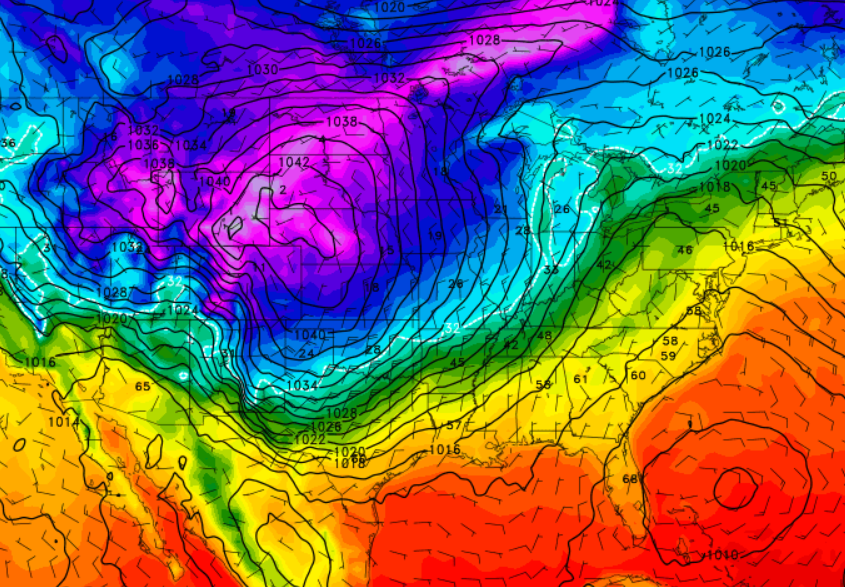
The longer range patterns shows the potential for colder air to arrive Thanksgiving week – we’ll keep an eye on it!
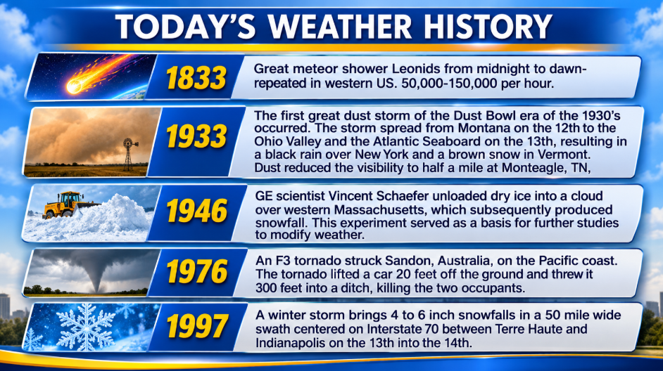
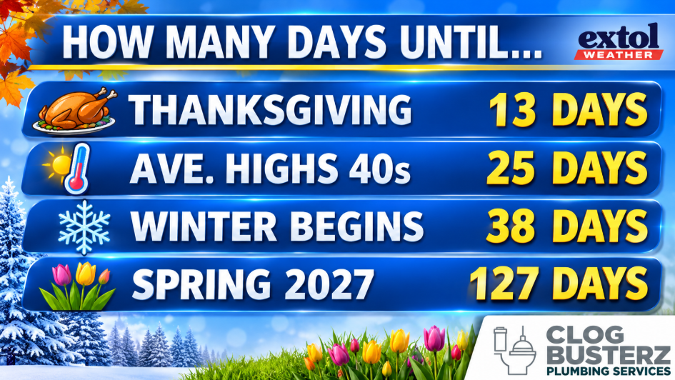
Here’s today’s weather history, countdown, and jokes.

-Meteoorologist Ben Peine