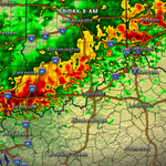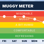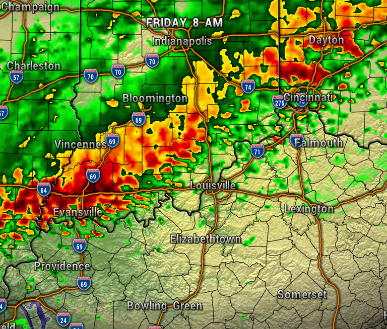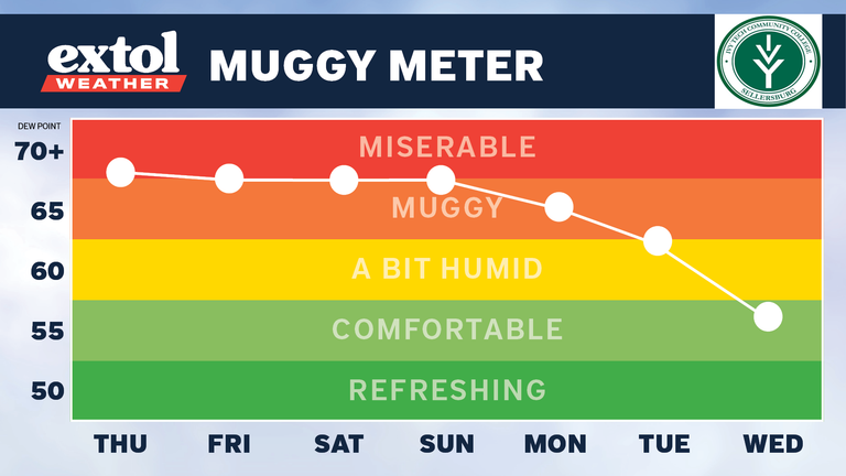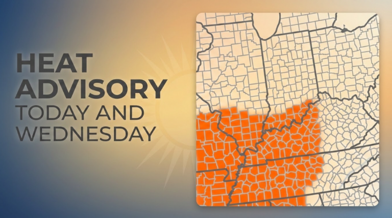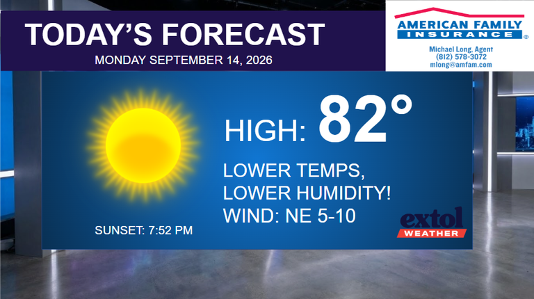

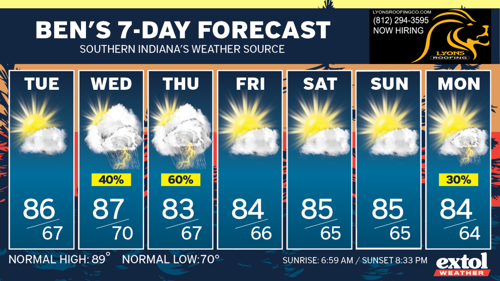
After oppressive heat and humidity over the weekend, it will be feeling better as a front moves south later today. The front will likely kick up a few more spotty showers this afternoon. It has been a very wet summer, and we could use a break to dry out a bit. Tuesday will be dry, but more rain chances return with the next slow-moving front Wednesday and Thursday.

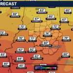
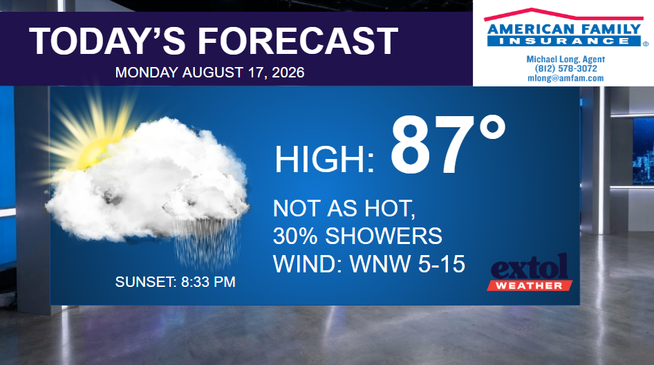
Many locations picked up an additional inch of rainfall overnight. Today will be partly to mostly cloudy with a few showers possible. No severe weather is expected. Highs will mostly be in the mid-80s, with a west/northwest wind at 5-15 mph.


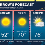
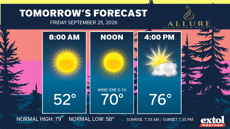
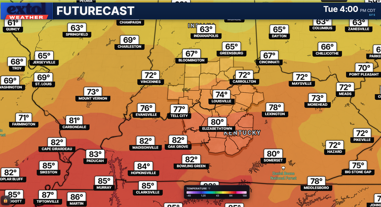
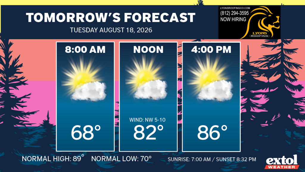
Tuesday’s forecast is warm and dry, and not quite as humid. Highs in the mid-80s, and a northwest wind at 5-10 mph.
The next slow-moving front will bring increasing rain chances again for Wednesday and Thursday. So far, it looks like Thursday will be our wettest day of the week. Looking comfortably warm though and mainly dry for this weekend!
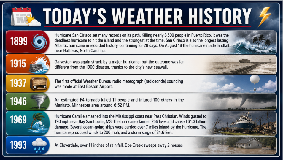
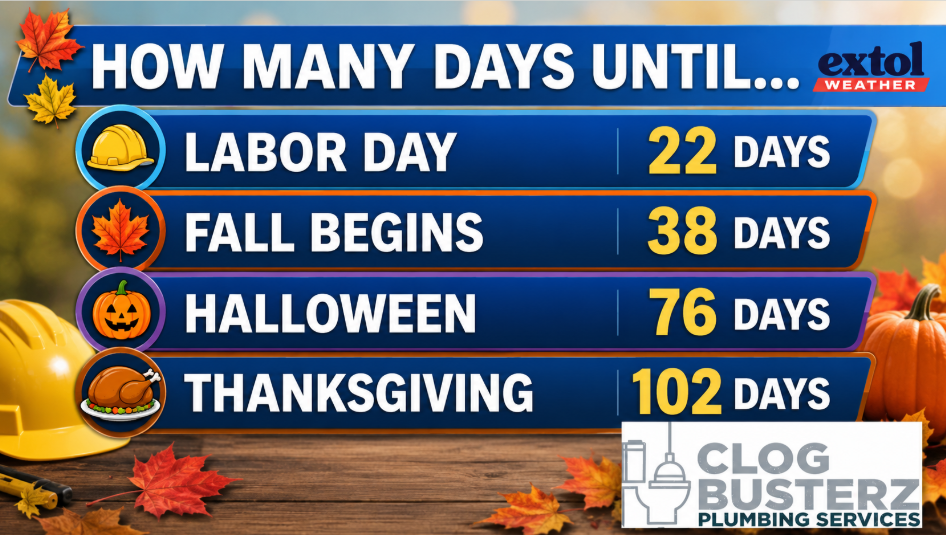
Here’s today’s weather history, countdown, and jokes.

-Meteorologist Ben Peine.