

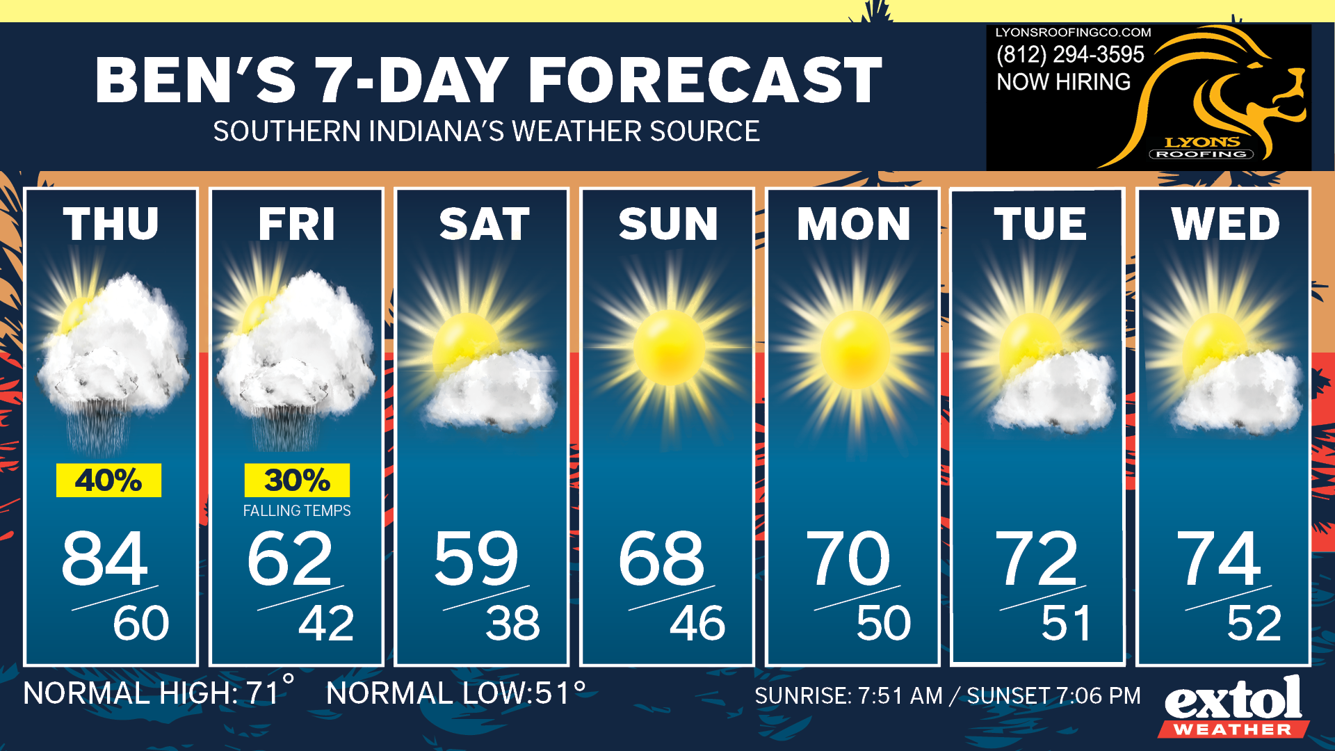
We are having some dynamic up and down weather this week! Yesterday we hit a record high of 90°, and we could be down to the 30s Saturday night!

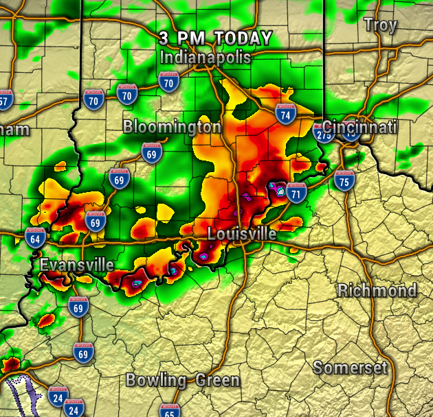
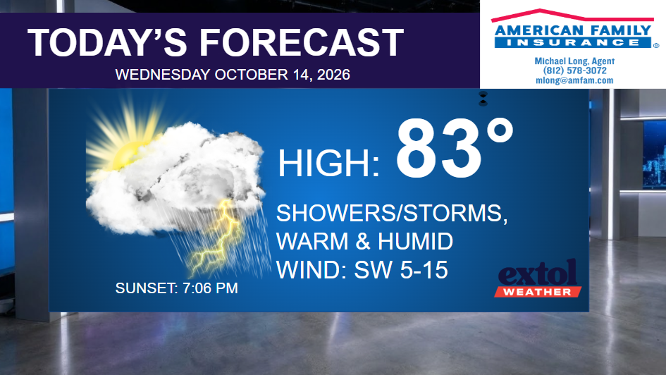
Today features a round of showers and storms arriving this afternoon with locally heavy rain and isolated flooding possible. Severe weather isn’t expected, but some areas may pick up a quick 1-2″+ of rainfall. Otherwise, it will be warm and humid.
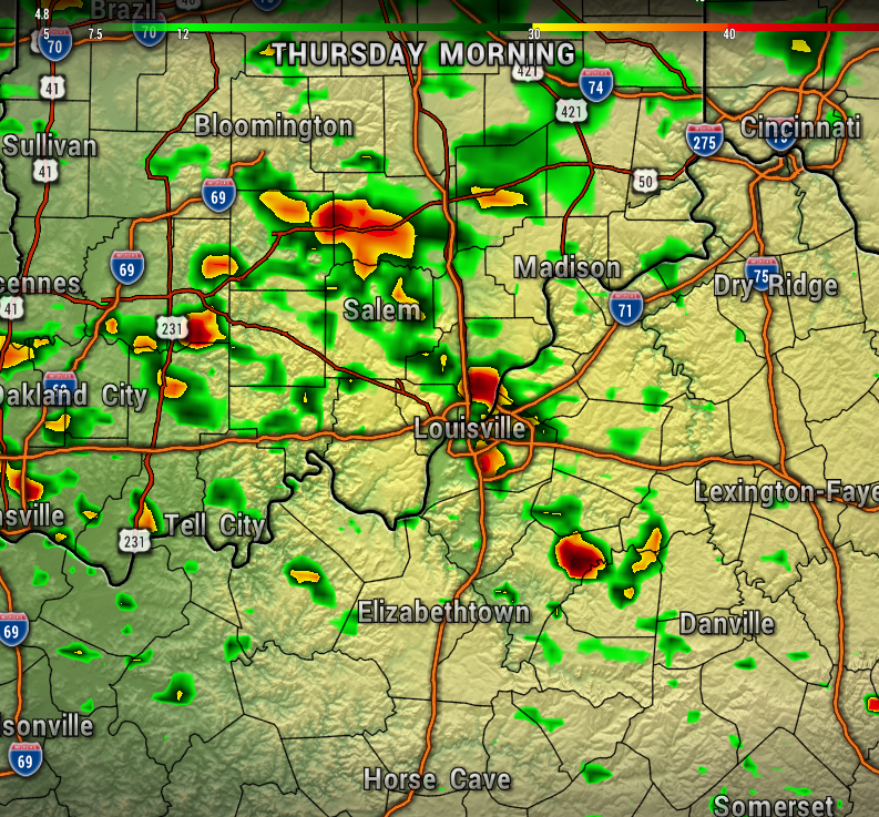
The front will lift back north as a warm front Thursday with a few showers lingering in the morning, then mostly dry in the afternoon. Highs stay in the 80s with high humidity.
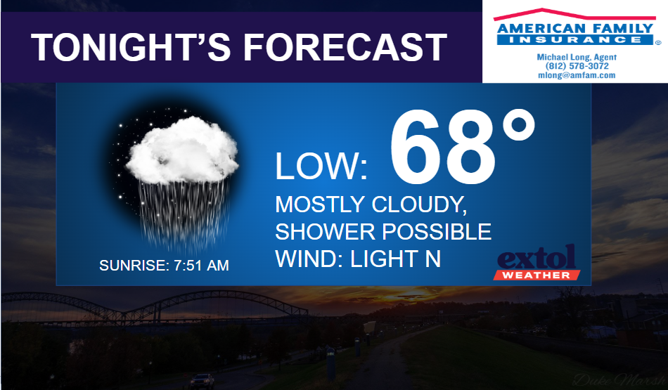
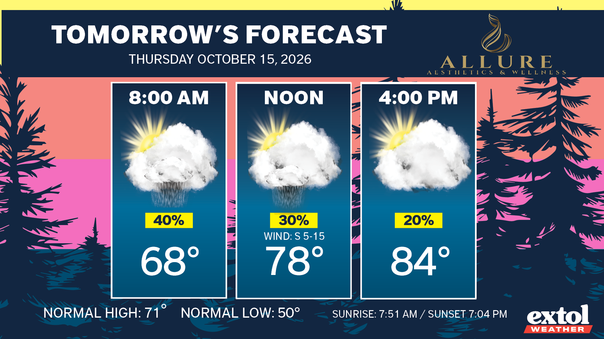
A strong front will slide through early Friday with dropping temperatures and patchy light rain possible. Gusty wind 15-30 mph winds as well. It could be sweater weather Friday afternoon and evening!
Our chilliest weather of the season is here this weekend with upper 50s for highs Saturday and lows in the 30s. Patchy frost possible in outlying areas early Sunday morning. A nice, long dry pattern is setting up through much of next week.
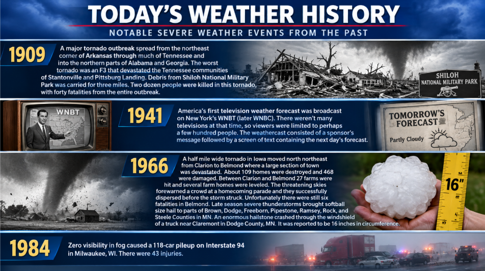
Here’s today’s weather history, countdown, and jokes.


-Meteorologist Ben Peine.


