


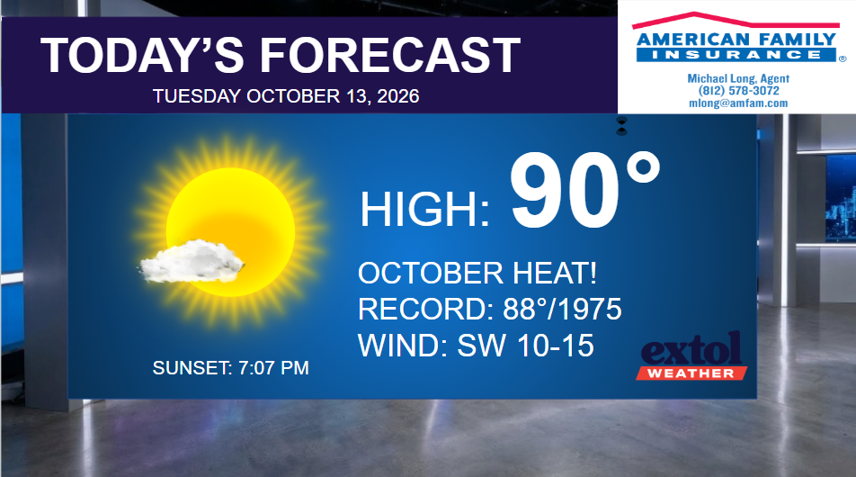
Temperatures will be soaring this afternoon with summer-like conditions and record highs will be in jeopardy. The record high today is 88°, set in 1975. Forecast highs are in the upper 80s and low 90s across the region.
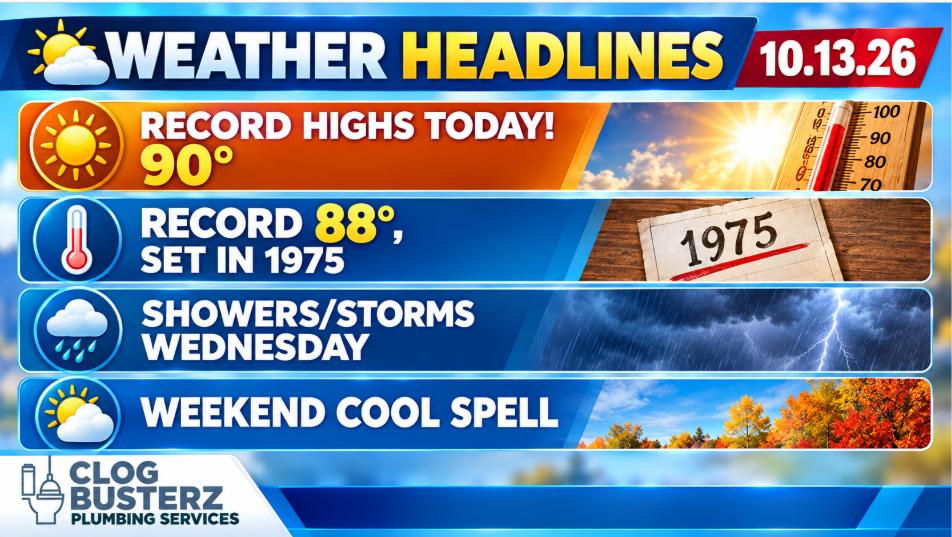
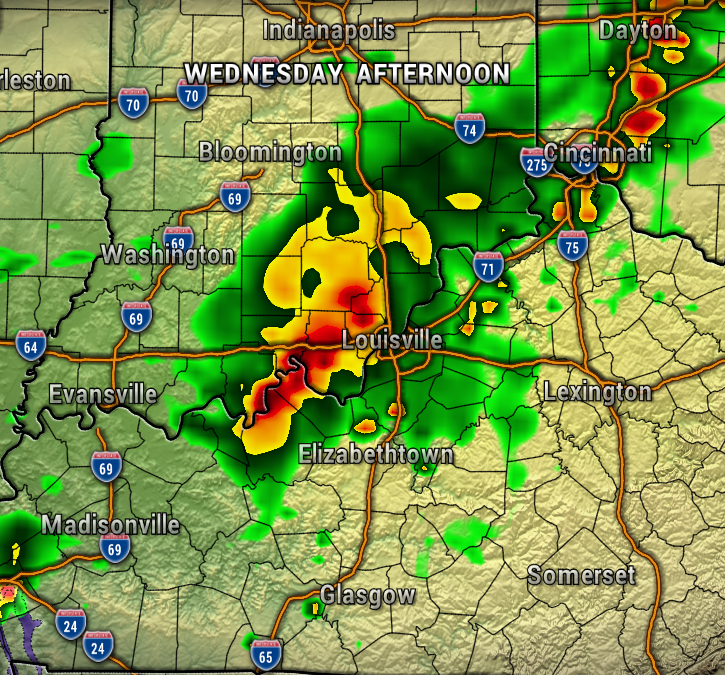
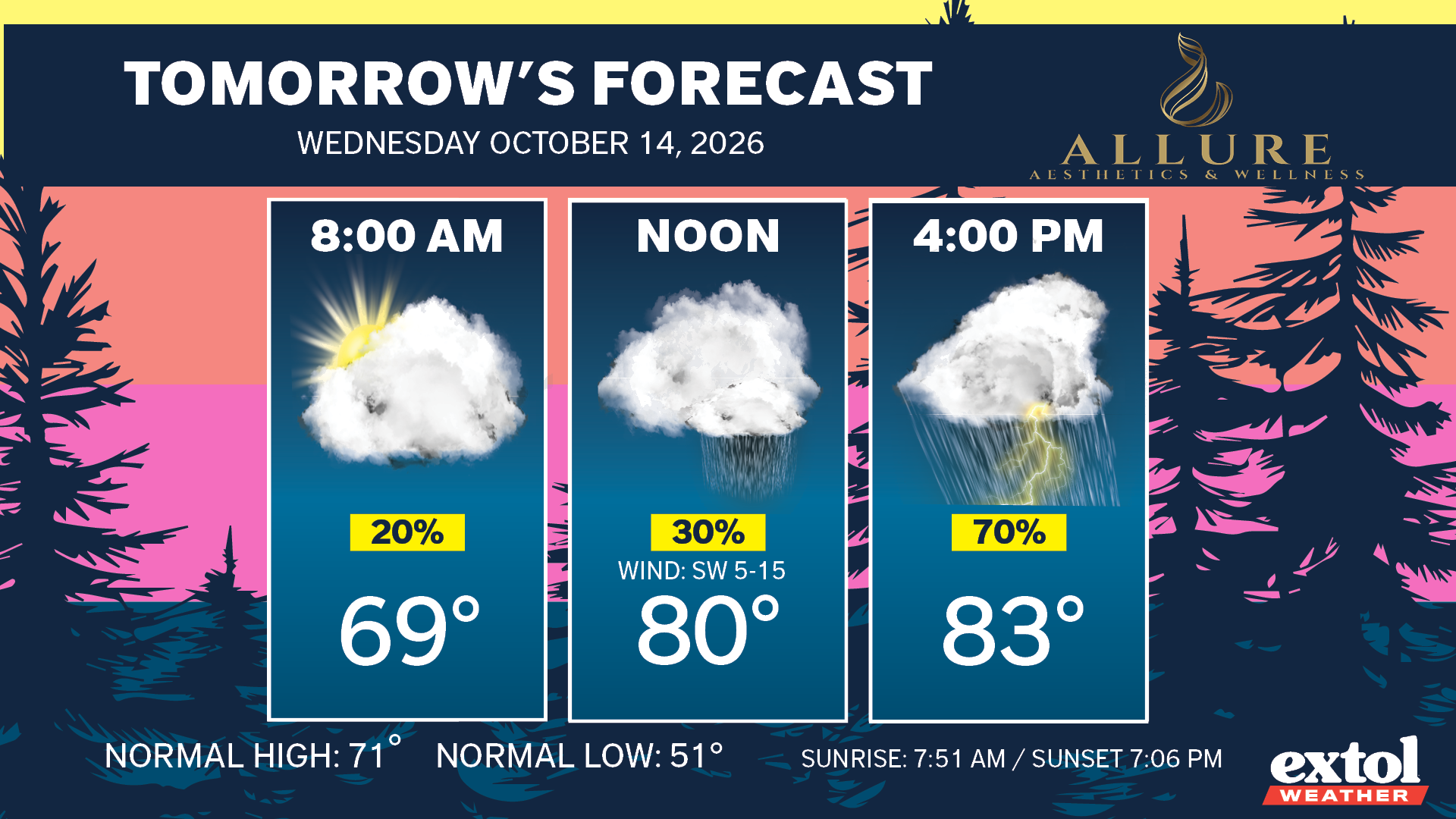
A front will get close enough to our area to bring scattered showers and thunderstorms Wednesday afternoon and evening. Locally heavy rainfall will be possible, but severe weather is not expected at this time. Some spotty showers could linger into Thursday morning.
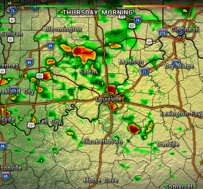
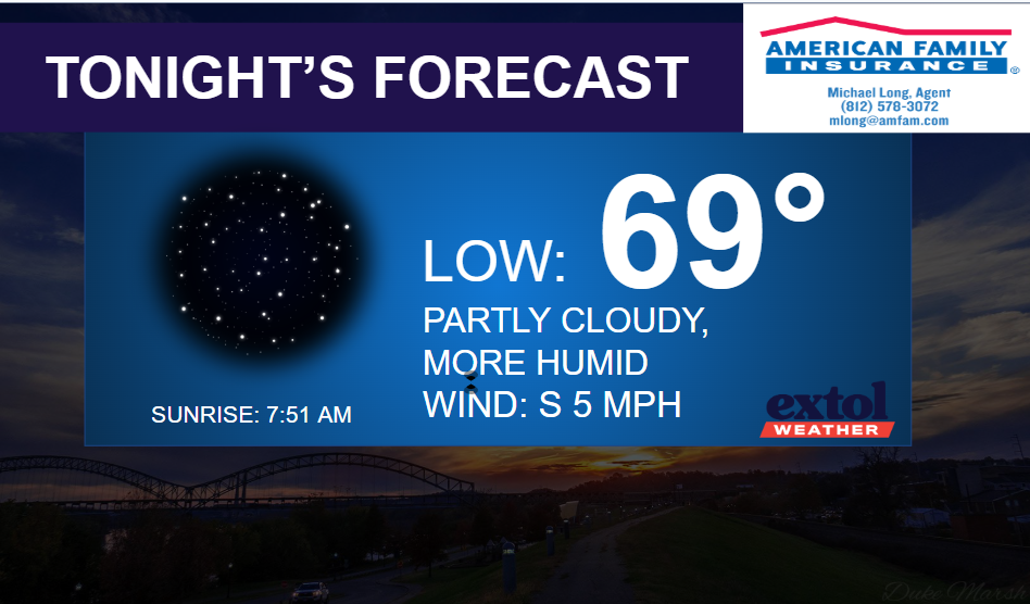
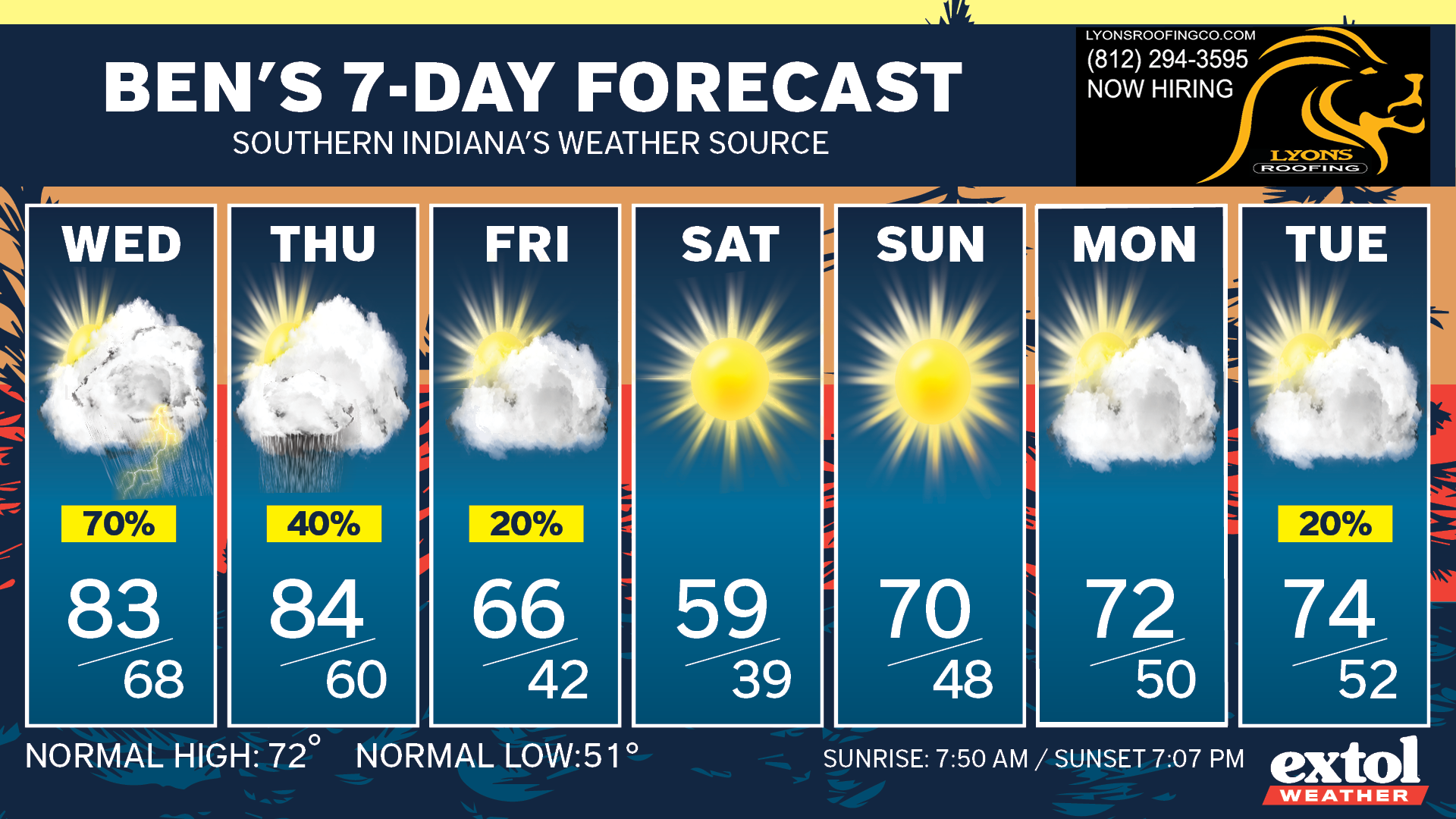
The front will move back north Thursday afternoon with mostly dry and warm conditions. You’ll notice the muggy air as well Wednesday and Thursday as moisture gathers south of the front.
A mostly dry front will move through Friday with much cooler conditions on the way for this weekend. Highs down to the 50s Saturday, with lows in the 30s Saturday night!
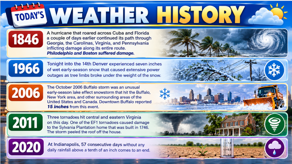
Here’s today’s weather history, countdown, and jokes.


-Meteorologist Ben Peine.


