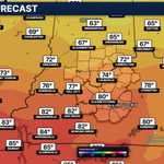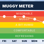



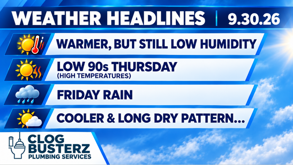
It will be a warmer end to September and start of October with upper 80s and low 90s today and tomorrow. Thankfully, the humidity will be staying pretty low.
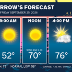
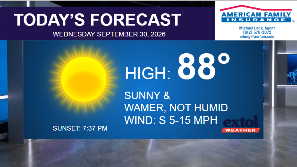
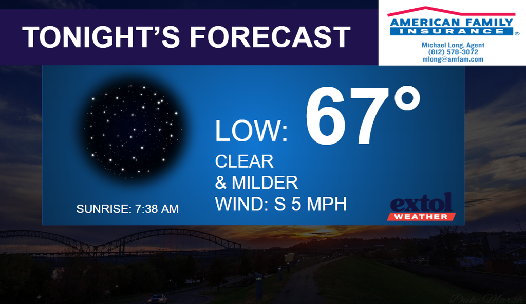
Expect mid-upper 80s, sunshine, and low humidity today with a south breeze at 5-15 mph. Mostly clear and milder tonight with lows in the 60s.

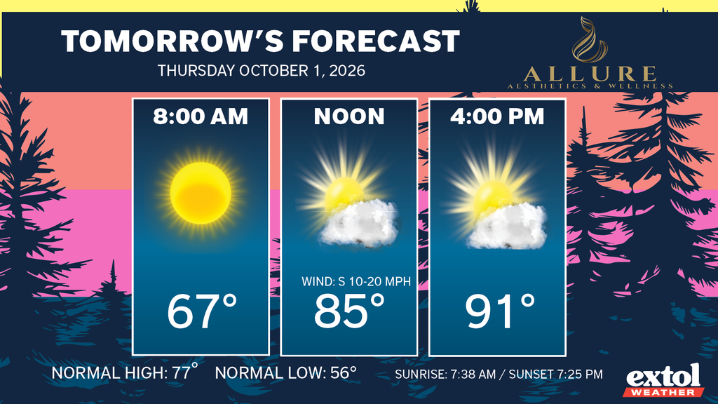
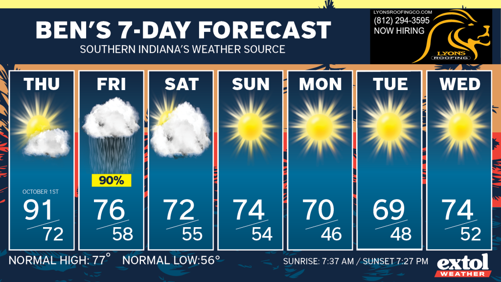
Low 90s on the way for Thursday as we kick off October – about 15° above normal, but still well below record highs.
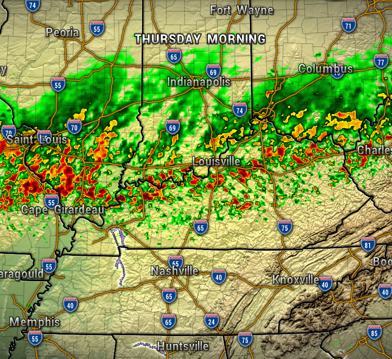
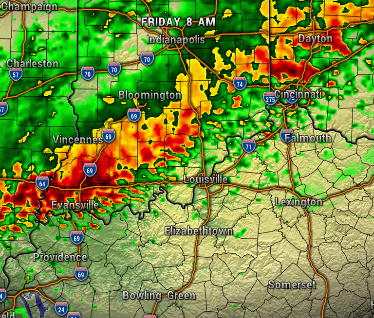
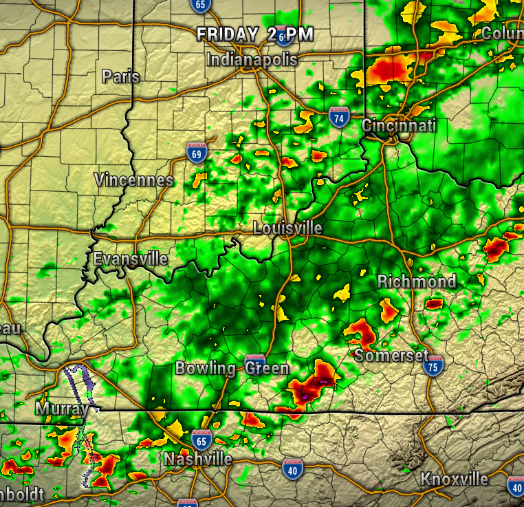
A cold front will bring a steady rain late overnight Thursday into Friday morning. Friday morning is looking the wettest, as the rain will be tapering off from north to south Friday afternoon/evening. Most areas will pick up around a 1/4″ of rainfall. No severe weather is expected.
We’ll need all of that rain, because it’s looking like a nice and very long dry pattern after Friday! Plus, September ended up with just 1.16″ of rainfall for the month, more than 2″ below normal.
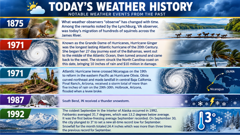
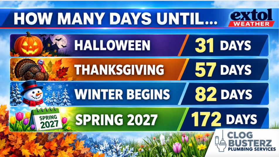
Here’s today weather history, countdown, and jokes.

Meteorologist Ben Peine