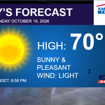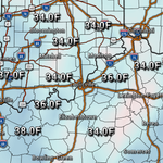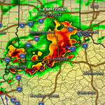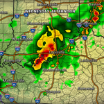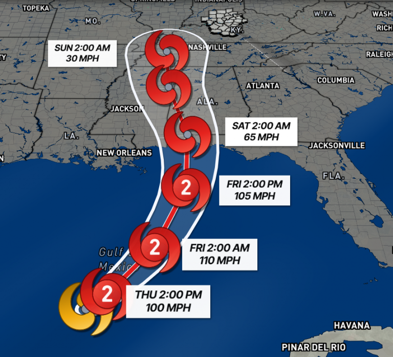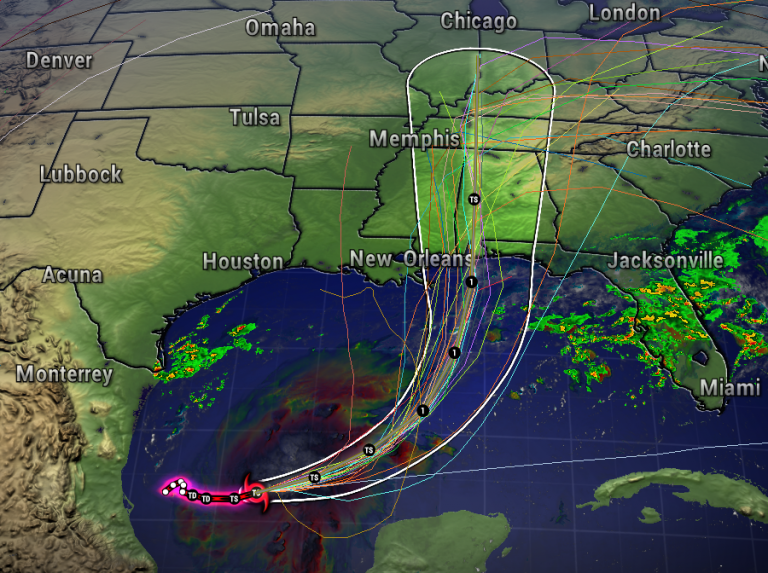



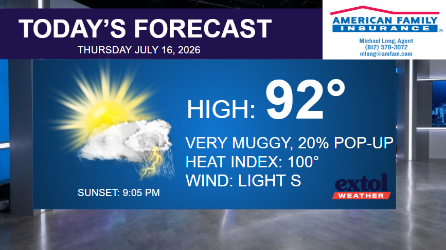
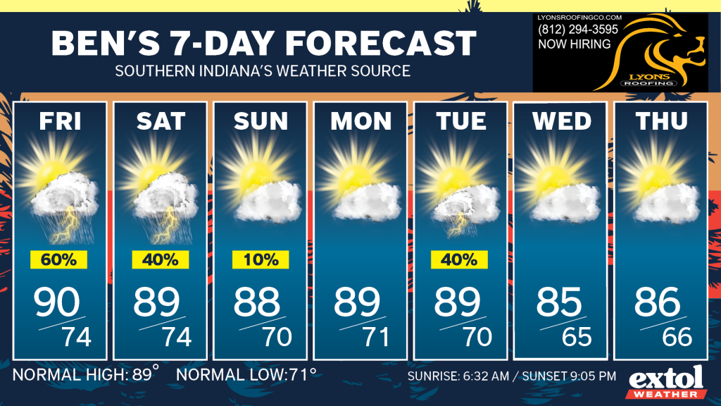
We won’t have much change to our muggy conditions until relief arrives next Wednesday. In the meantime, our highs will remain in the upper 80s and low 90s, with the heat index near 100°. Occasional pop-up storms possible through Saturday.
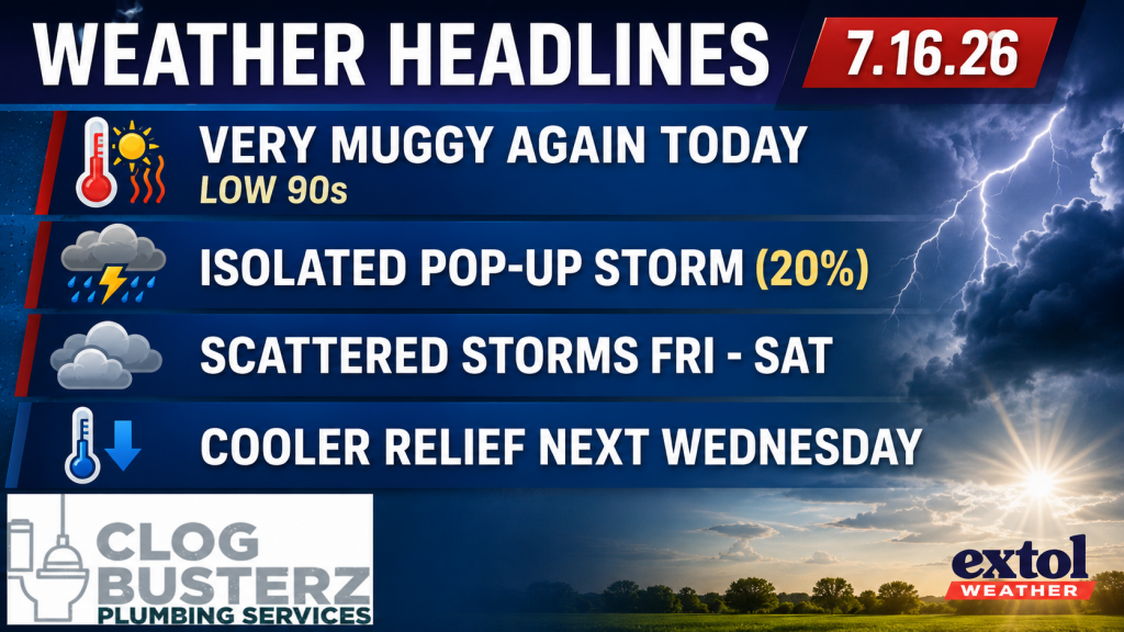
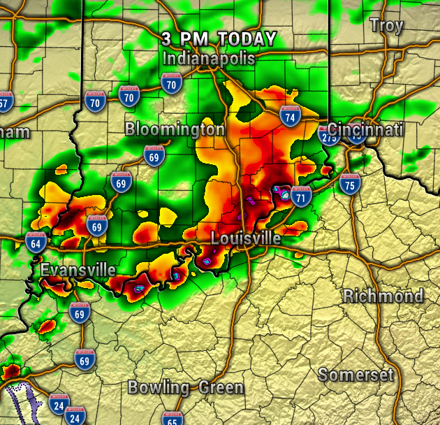
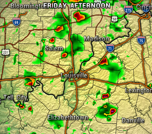
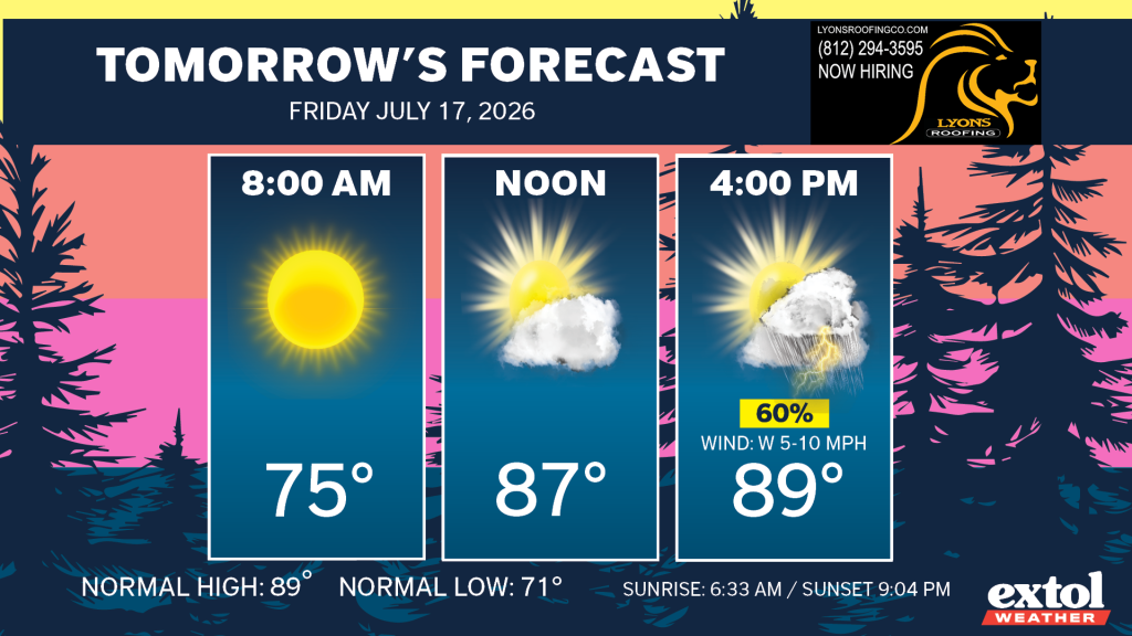
It’s just a very small chance of an isolated pop-up shower or storm for this afternoon, with a little better chance for areas west of I-65. We’ll have a higher chance of spotty storms popping up Friday afternoon and again late Saturday.
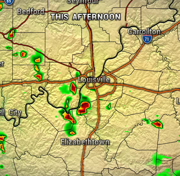
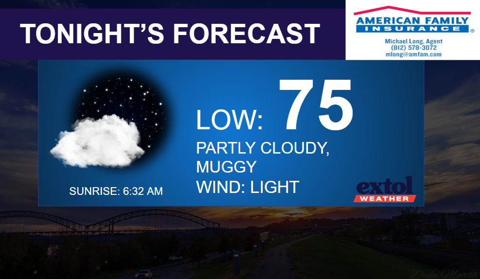
Today will be hot and muggy, and mostly dry with just a very light breeze. Heat index up around 100°. Muggy again tonight with lows in the mid-70s.

Friday will be just as muggy, but we will have a higher chance of scattered pop-up showers and storms. Severe weather is not expected, but any storm will be a slow-mover and capable of locally heavy rain, lightning, and gusty winds.
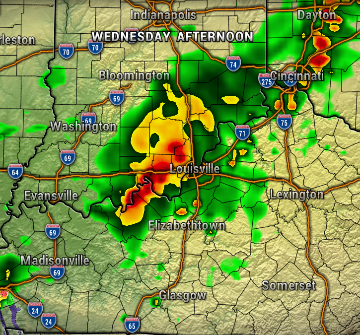
Sunday and Monday will be mostly dry, then a front will bring back rain chances Tuesday. We’ll have to wait for the front to move through overnight Tuesday, to bring temperature and humidity relief for next Wednesday!
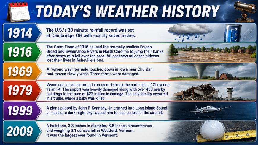
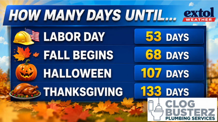
Here’s today’s weather history, countdown, and jokes.

-Meteorologist Ben Peine.