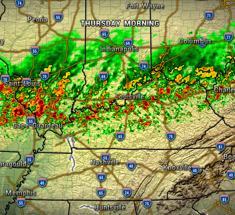


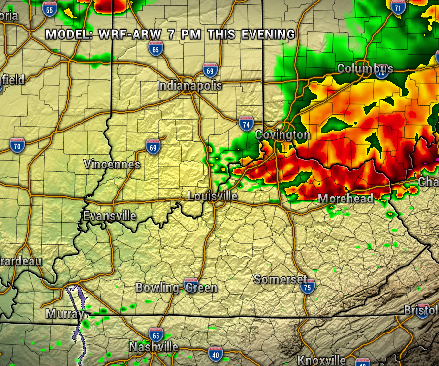
So far, there is a very active storm track just to our north, but these storms could make a move to the south later tonight and impact parts of our area.
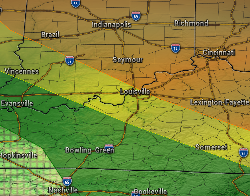
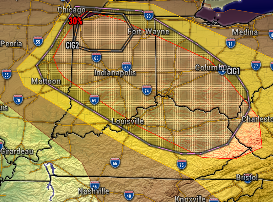
The Storm Prediction Center has placed the northeastern half of our region under an Enhanced Risk of Severe Storms (level 3 of 5), with the potential of damaging wind (1st map below). The second map below shows the elevated risk of wind gusts in excess of 75 mph. Many of us in Southern Indiana are right on the southern periphery of this threat. Read on for a weather model discussion.
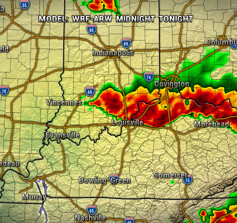
Below is a look at the WRF-ARW weather model at 7 PM and Midnight. Areas northeast of Louisville are favored for the best chance to be clipped by the western edge of a complex of storms later this afternoon into the evening. Later tonight, another round is possible, impacting more of our area. With this said, the HRRR model keeps this activity farther east, while the NAM Nest 3km model has more widespread showers and storms around the region.
Moral of the story, perhaps the WRF is the middle ground, but either way the models have a difficult time with placement and timing with this late summer northwest flow weather pattern and we’ll just need to keep an eye on how things develop in real-time.
As with any severe weather threat, head any watches or watches that may be issued. Head to our Radar tab here at www.extolmag.com/weather and download our Extol Weather app at your app store.
As mentioned, strong wind will be the main severe weather threat with localized heavy rain.
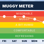
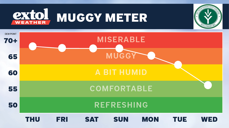
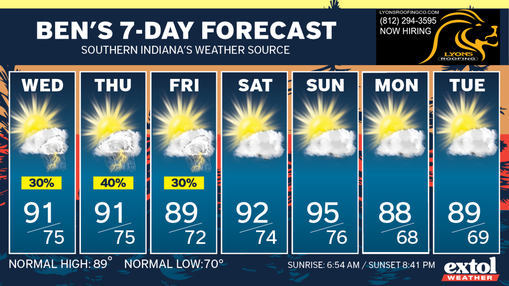
Occasional showers and storms will be possible Wednesday through Friday, with a low severe weather threat. Outside of any storm chance, try to keep cool, as the muggy conditions will continue.
-Meteorologist Ben Peine