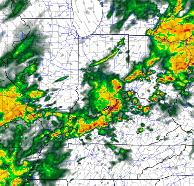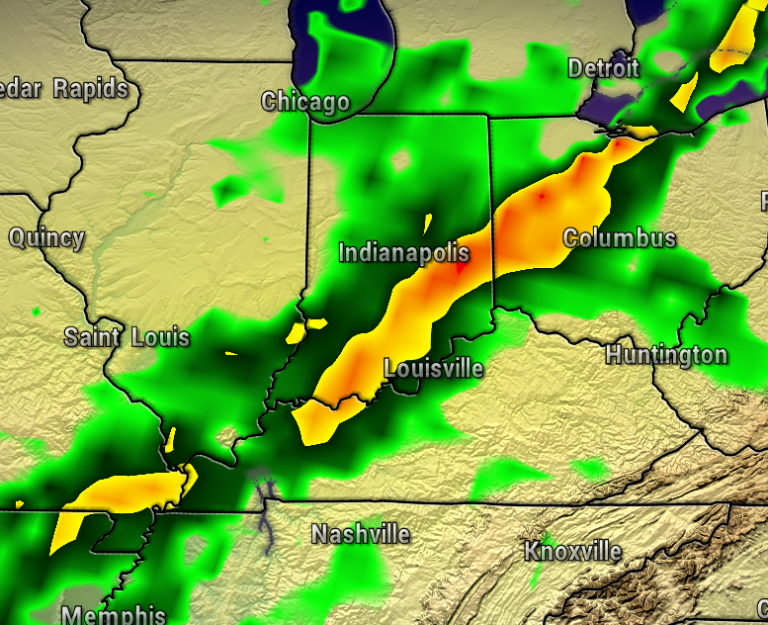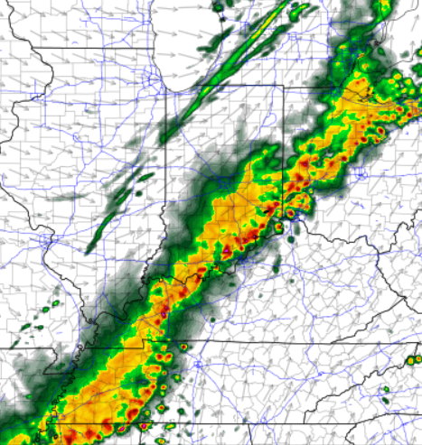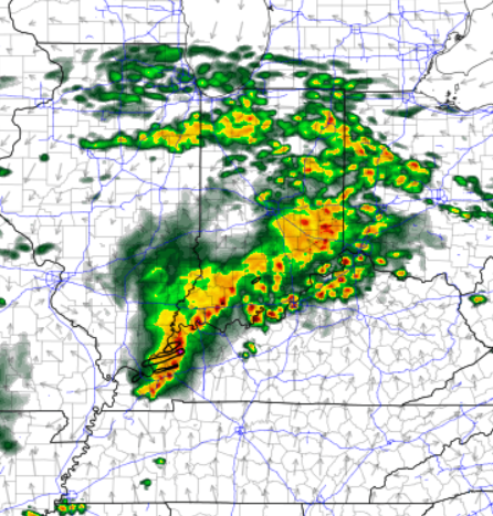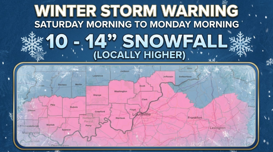
It’s time to finish up any last minute winter storm preparations with a large winter storm on the way. Winter Storm Warnings stretch across much of the United States, including all of our area.

The Winter Storm Warning, issued by the National Weather Service, goes from Saturday morning through early Monday morning. Right now, the official forecast calls for 10-14″ inches (and locally higher possible) of snowfall for most of our area. If you are reading this from south of the Bluegrass and Western Kentucky Parkways in Kentucky, then 4-10″ of snow with 1/3″ ice accumulation is possible.
Of course, this amount of snow will make travel very difficult. If you must travel, keep an extra flashlight, food, and water in your vehicle in case of an emergency. In Indiana, for Indiana Road Conditions please visit http://511in.org In Kentucky, for Kentucky Road Conditions please visit http://goky.ky.gov
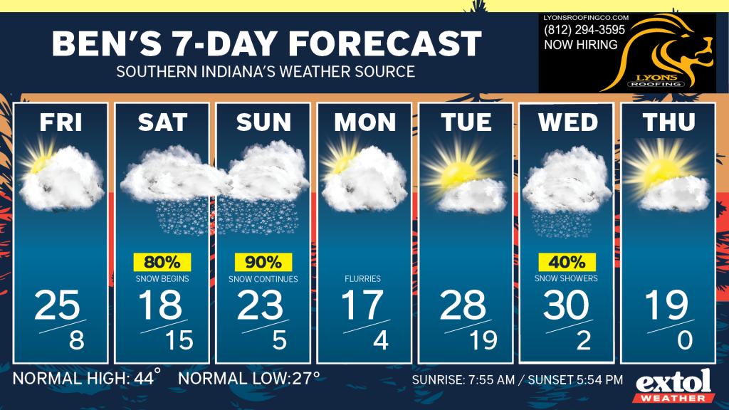
The snow will likely become steady Saturday afternoon and not end until Sunday night. So, don’t expect all of this snow on the ground until late Sunday night.
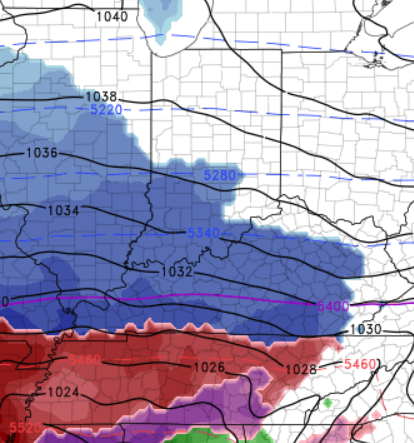
During and after the snow temperatures will be frigid. Much of next week will feature below freezing temperatures with several nights in the single digits. More light snow is possible next Wednesday.
Stay safe this weekend! -Meteorologist Ben Peine.


