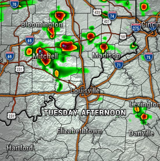
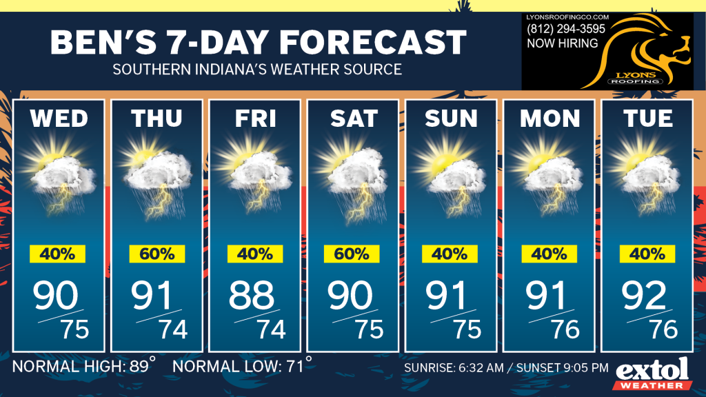
So, generally we’re going to have a daily chance for afternoon and early evening pop-up showers and storms. Fairly typical for a summer weather pattern.
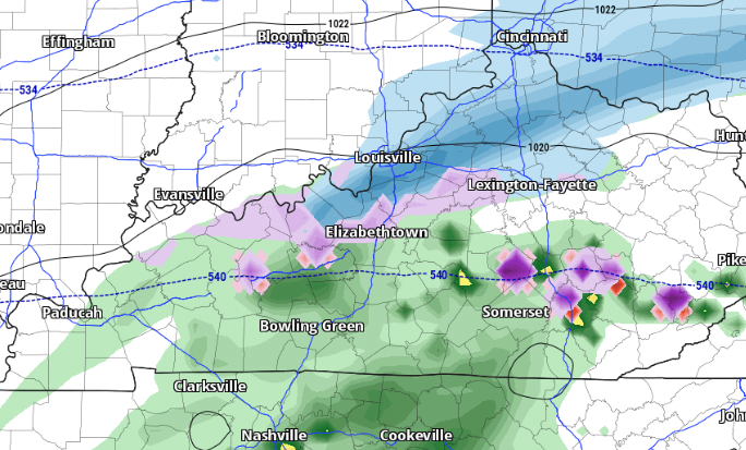
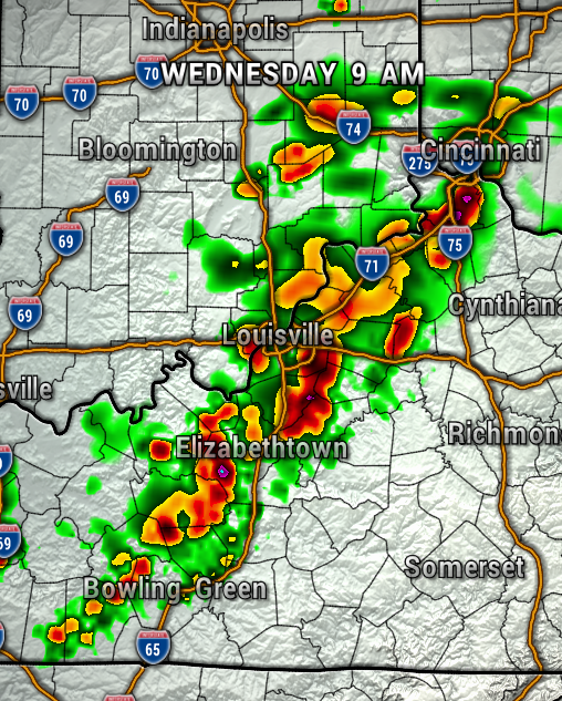
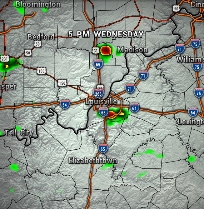
However, it does look like we could have a disturbance move through Wednesday morning which could kick up a round of showers and storms. So, this may adjust some of your outdoor plans for early Wednesday. The maps below show the the timing of the storms for Tuesday through Wednesday.

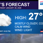
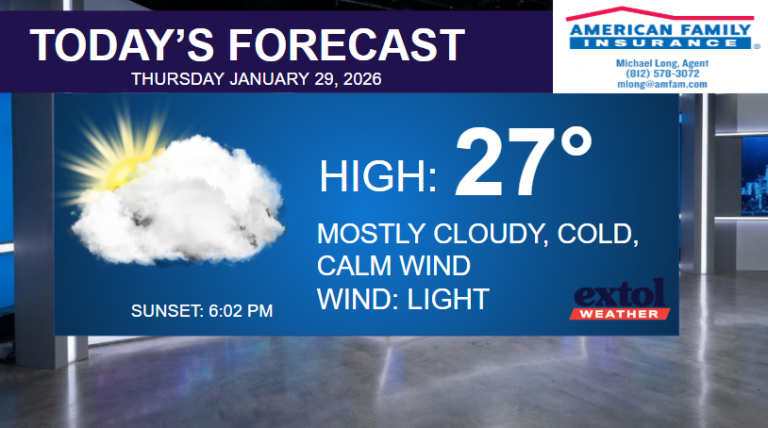
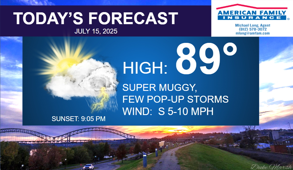
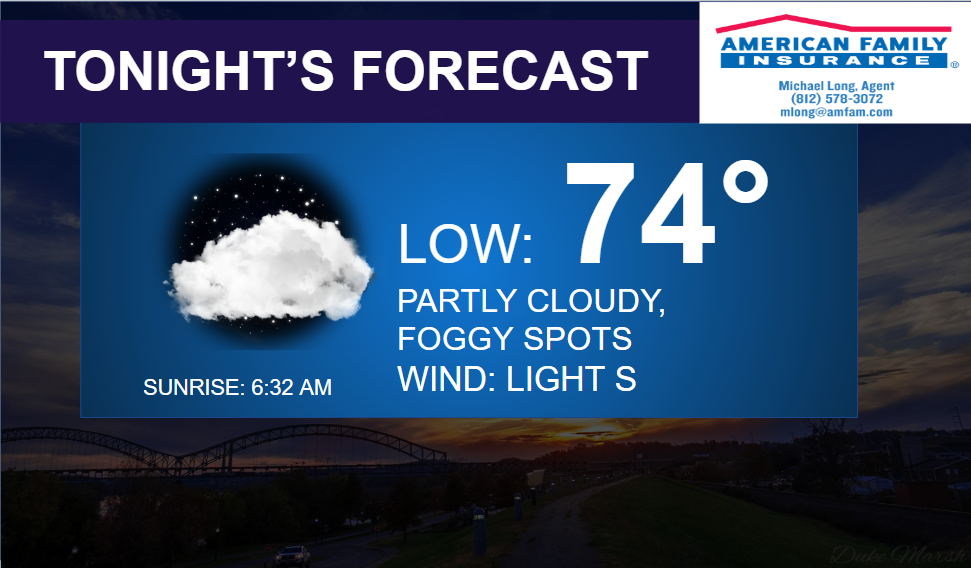
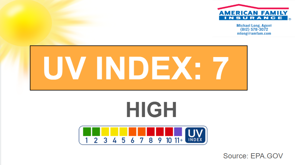
Expect just super muggy conditions today with highs in the upper 80s, but feeling hotter. UV Index 7. Light south wind at 5-10 mph. Partly cloudy and humid in the 70s tonight, with patchy fog possible.
The muggy train will continue to roll on through at least early next week with daily pop-up afternoon showers and storms. The good news is, it doesn’t look like we’ll have to worry about a drought or extreme heat anytime soon. The bad news is, if storms go over some of the same areas too often, we may have to watch out for localized flooding. The storms can be an inconvenience as well with torrential rain and lightning, but severe weather is not expected.
-Meteorologist Ben Peine


