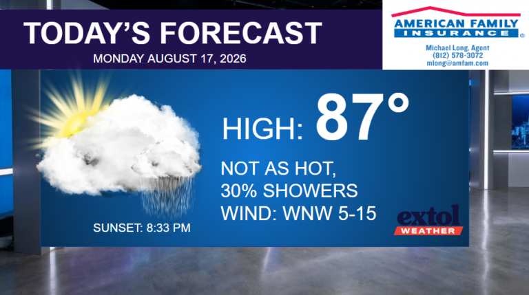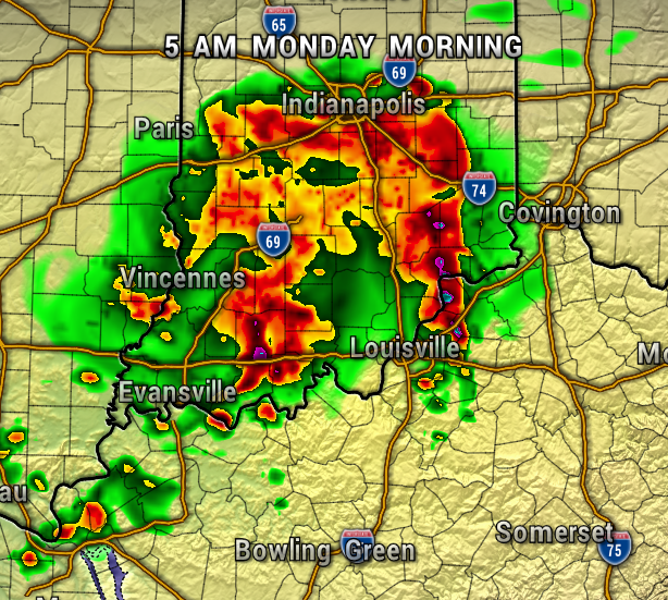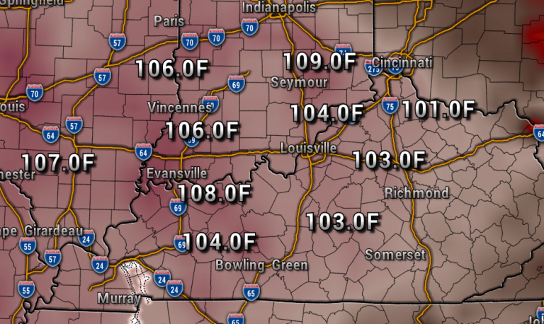



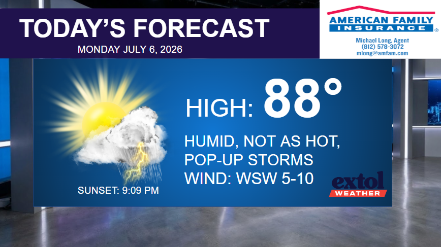
Temperatures won’t be as hot as last week, but it’s still a summer pattern with muggy conditions and occasional pop-up showers and thunderstorms. The severe weather threat will stay low all week, with mainly garden variety afternoon storms.
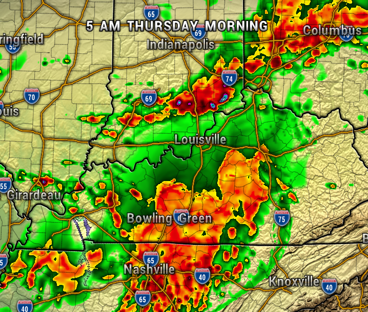
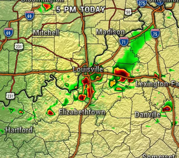
Notice on the map below, we have a little higher chance of storms in Kentucky today, drier north of the river. Expect highs in the upper 80s with a light west/southwest wind.
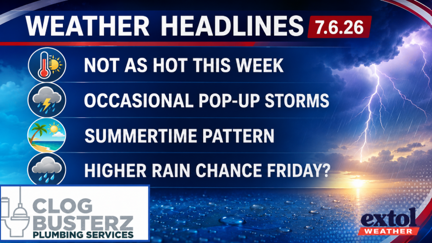
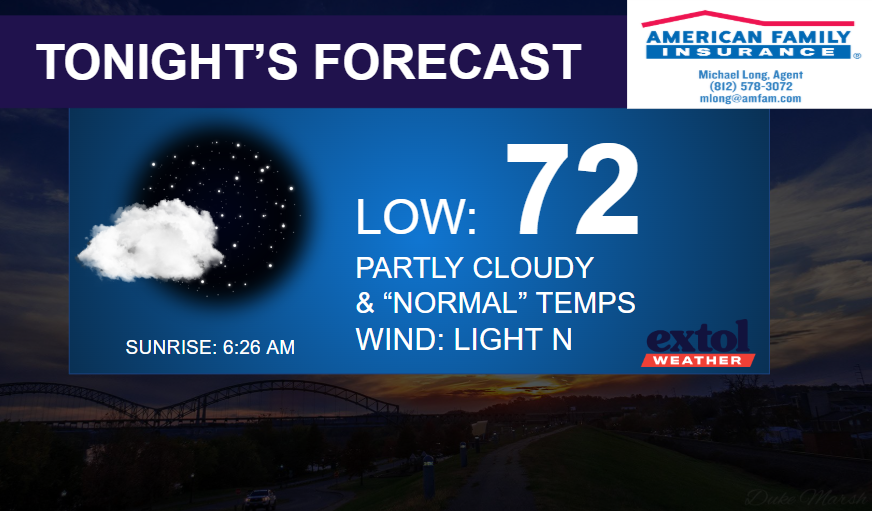
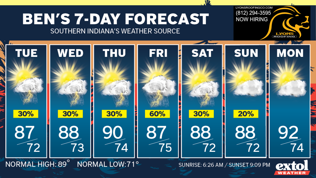
Temperatures will hover in the upper 80s and low 90s over the next week with basically each day featuring a chance of a pop-up storm. A front could bring our highest chance of rain on Friday.
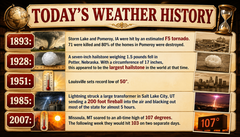
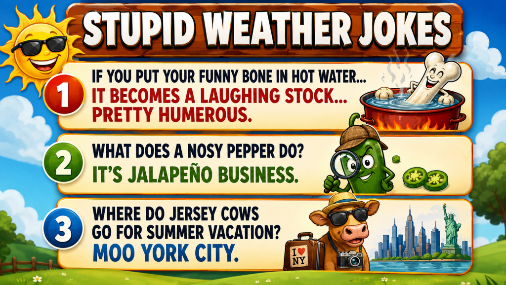
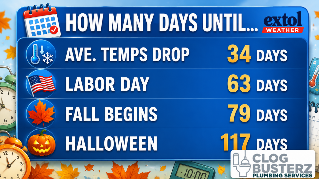
Here’s today’s weather history, countdown, and jokes.
-Meteorologist Ben Peine.