Most of us will get a little reprieve from the extreme humidity today, as a “backdoor” cool front has moved into the region from the northeast. It’s called a backdoor front, because it moves in from the opposite direction as fronts usually do.
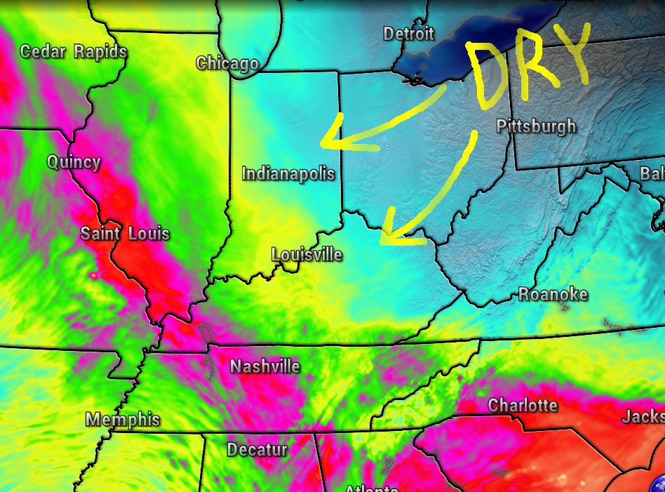
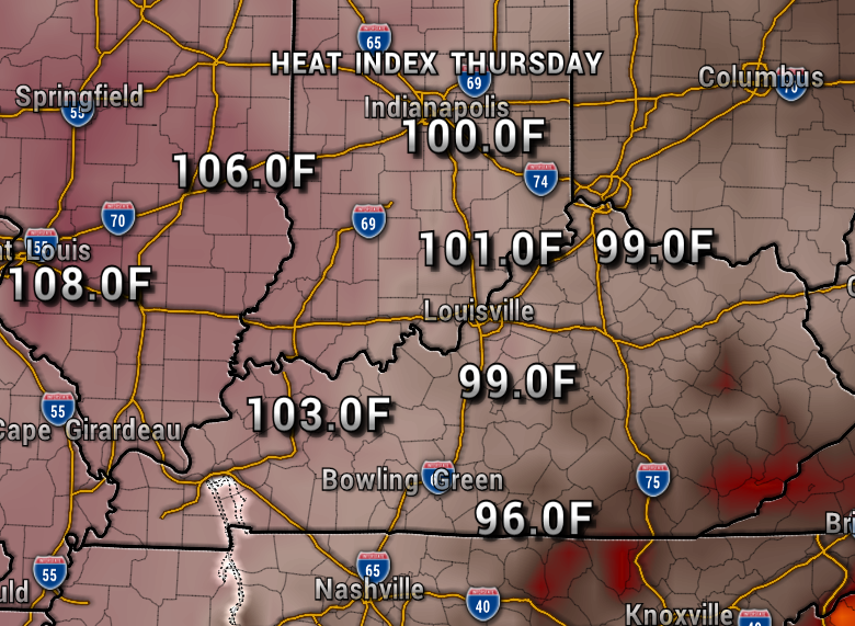
Dew points are dropping into the 60s today, instead of the 70s, so you should feel the difference. Areas farther west will stay pretty humid though. You can see on the map below, the really muggy air pushed toward St. Louis.

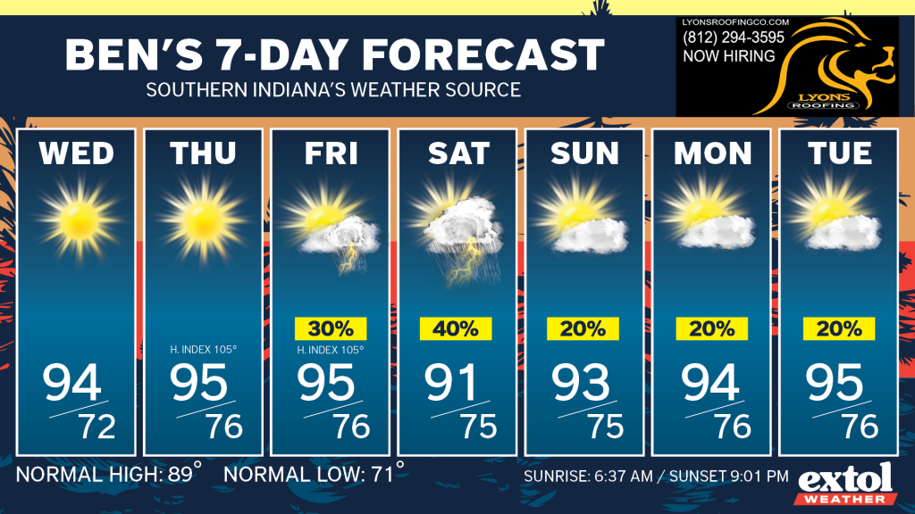
Wednesday will be hotter, but the humidity still won’t be too terrible. However, the tropical air returns Thursday, and with the heat and humidity combined, we’re looking at heat index values well above 100°.
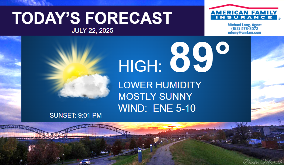
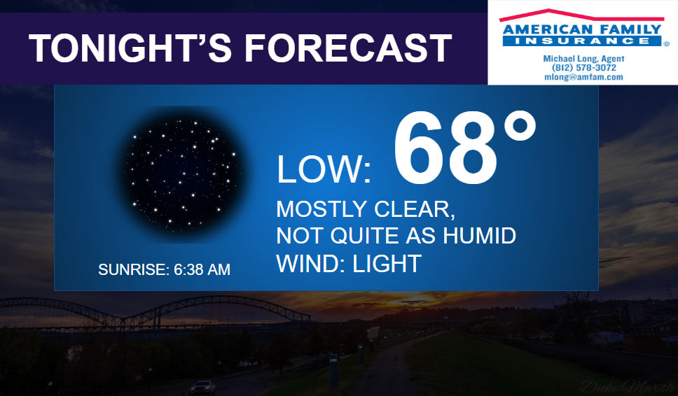
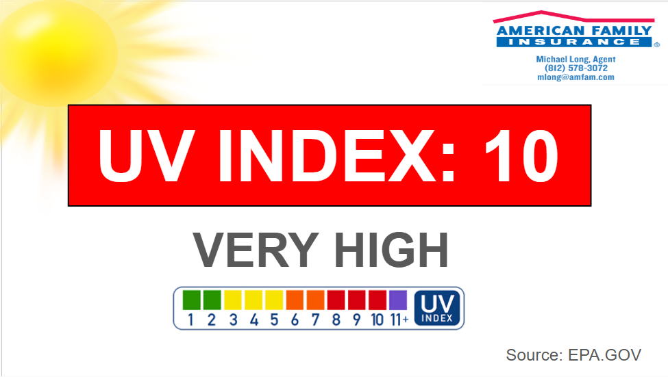
Today will be mostly sunny and feeling a bit better with highs in the upper 80s. A light breeze from the East/Northeast. The UV Index is at a Very High level of 10.
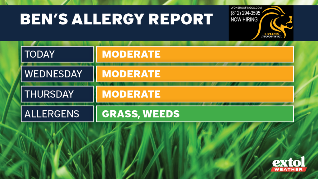
One thing that might start bothering you allergy sufferers out there is the gradual increase of weed pollen (Plantain, Nettle).
So, enjoy the break in the crazy heat and humidity today, as it will return soon. Thankfully, we also have a few mostly dry days as well. An isolated pop-up shower or storm is possible Friday, but it looks like Saturday will be our next best chance of scattered showers and thunderstorms. Very muggy into next week.
-Meteorologist Ben Peine


