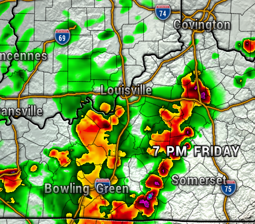
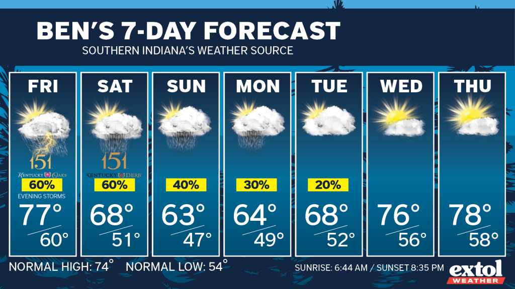
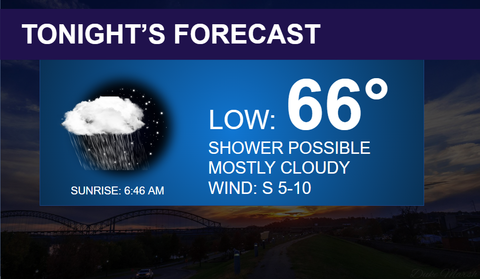
Unfortunately, it’s looking more and more likely that we’ll have scattered showers lingering through Saturday and possibly Sunday. We talked yesterday on Ben @ 10, how the European weather model was much more pessimistic with rain chances this weekend, and now the GFS is following along.
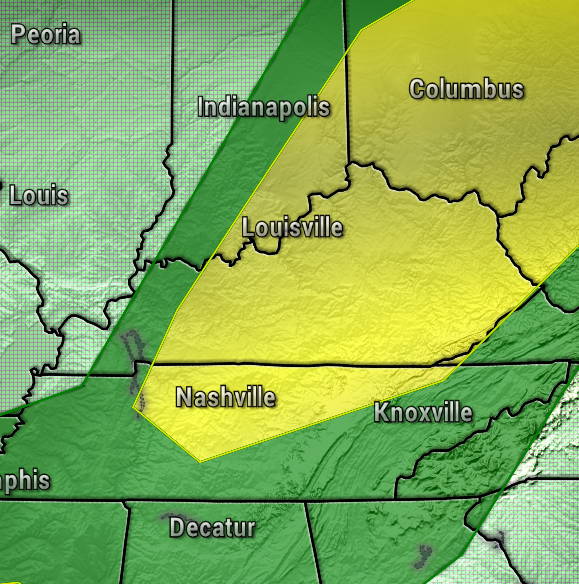
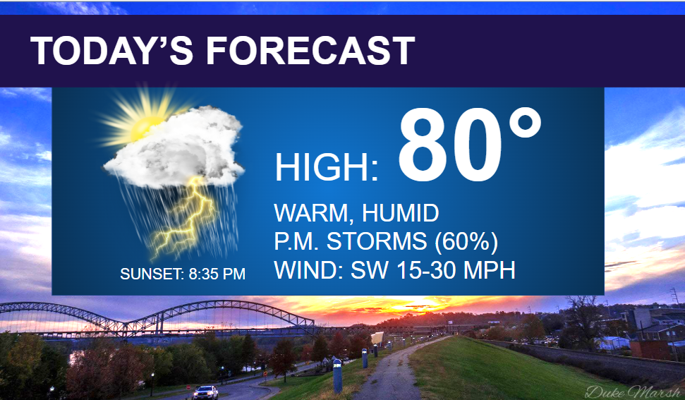
For today, expected pop-up showers and storms, with a few strong thunderstorms possible with gusty winds, heavy rain, and frequent lightning. The Storm Prediction Center has our area in a Slight Risk for Severe Storms (Level 2 out of 5).
The HRRR and NAM 3km high resolution weather models both show the storms firing up in the warm and humid air this afternoon. Expect highs again in the upper 70s and lower 80s, with southwest winds at 15-30 mph.
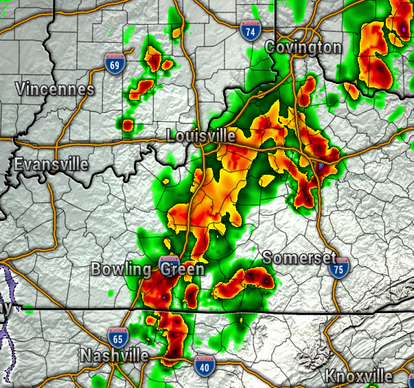

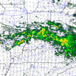
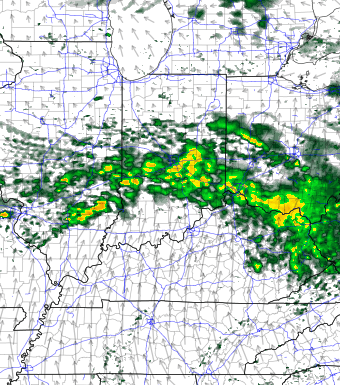
Now, no day looks like a total washout, but another round of showers and storms will be likely for Oaks on Friday, but hopefully, that rain chance will hold off until the evening. Either way, be prepared for the occasional chance of rain through this weekend. The map below is looking at Friday evening.

As mentioned, this weekend is looking wetter with scattered rain chances for Saturday. The EURO, GFS, and Canadian weather models now all pretty much agreeing that an upper-level low pressure system will get cut-off from the jet stream, and keep clouds and rain chances around through at least Sunday. The next map showing Saturday afternoon.
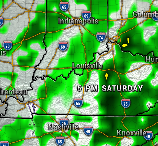
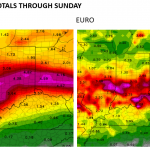
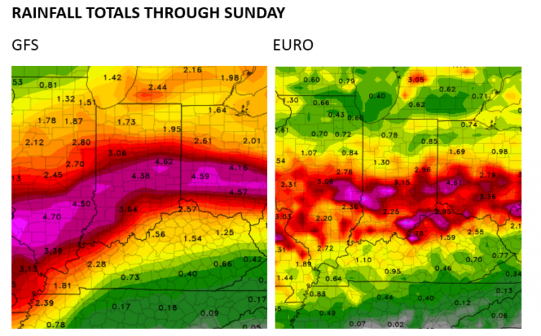
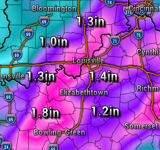
Rainfall totals between now and Sunday could be around 1-2″. Thankfully, no significant flooding is expected, and the severe weather threat will stay low.

- Have a great rest of your Derby Week! -Meteorologist Ben Peine


