#image_title
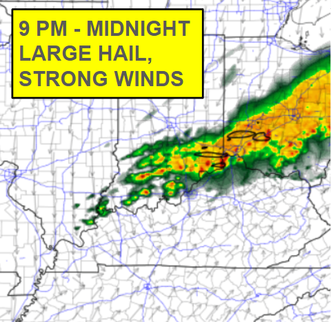
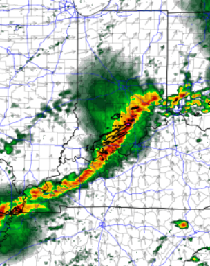
Severe weather watches and warnings will be likely across the region this evening. Be prepared to seek shelter in a safe place if a warning is issued.
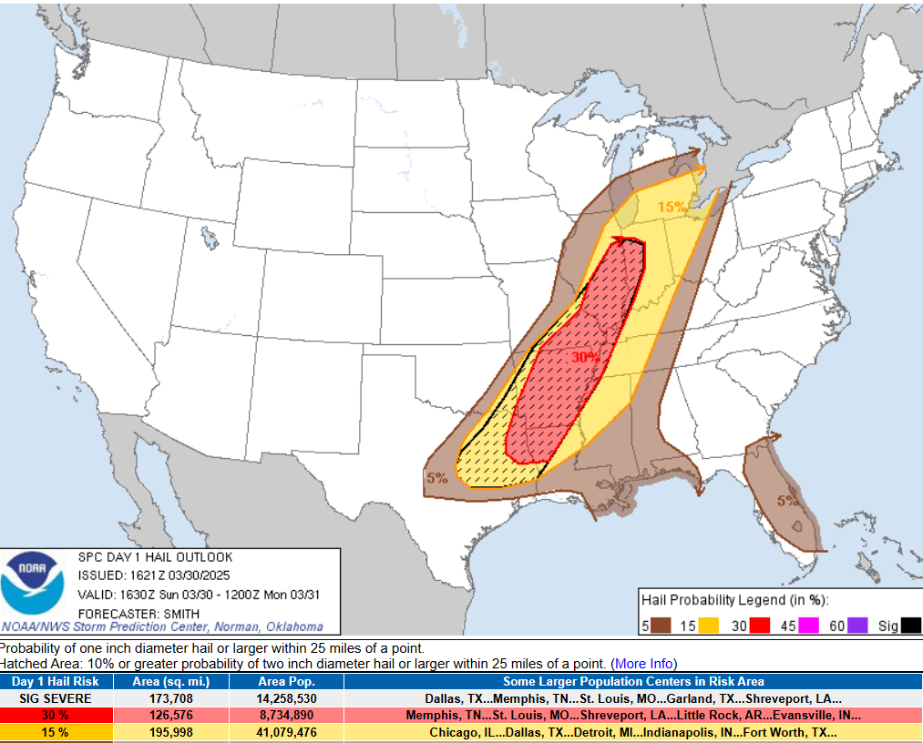
A couple rounds of severe storms will be possible. All severe weather hazards are possible, including damaging wind gusts, frequent lightning, large hail, heavy rain, and tornadoes.
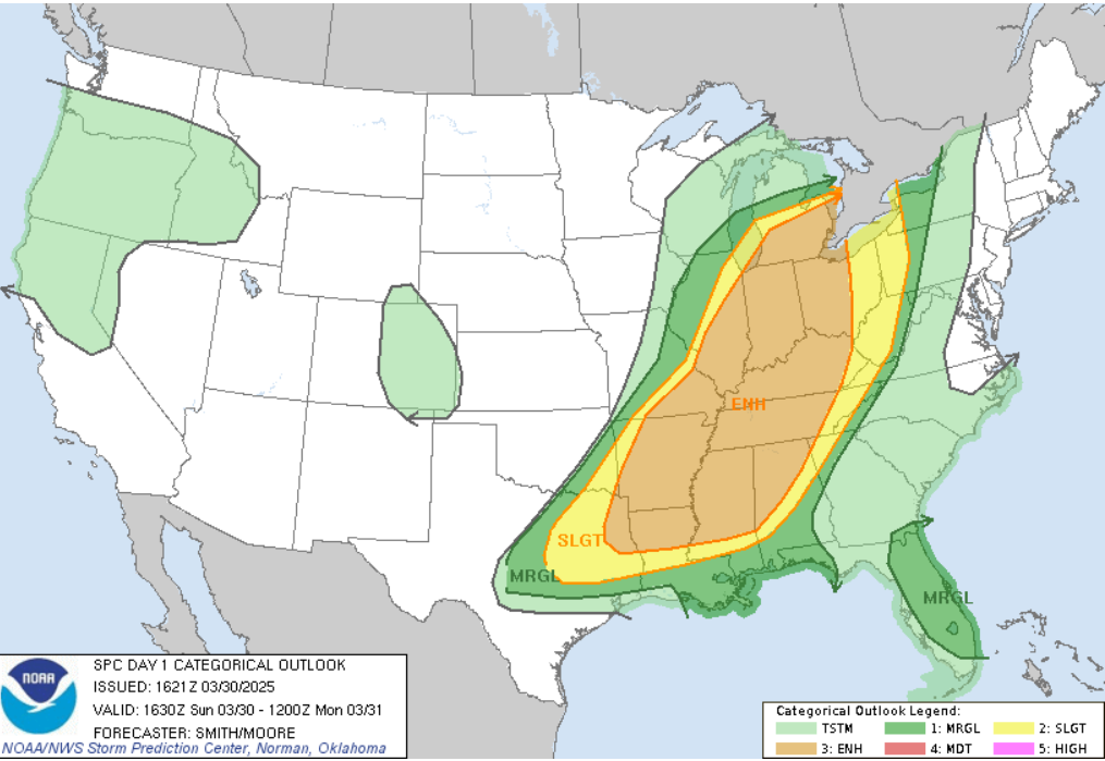
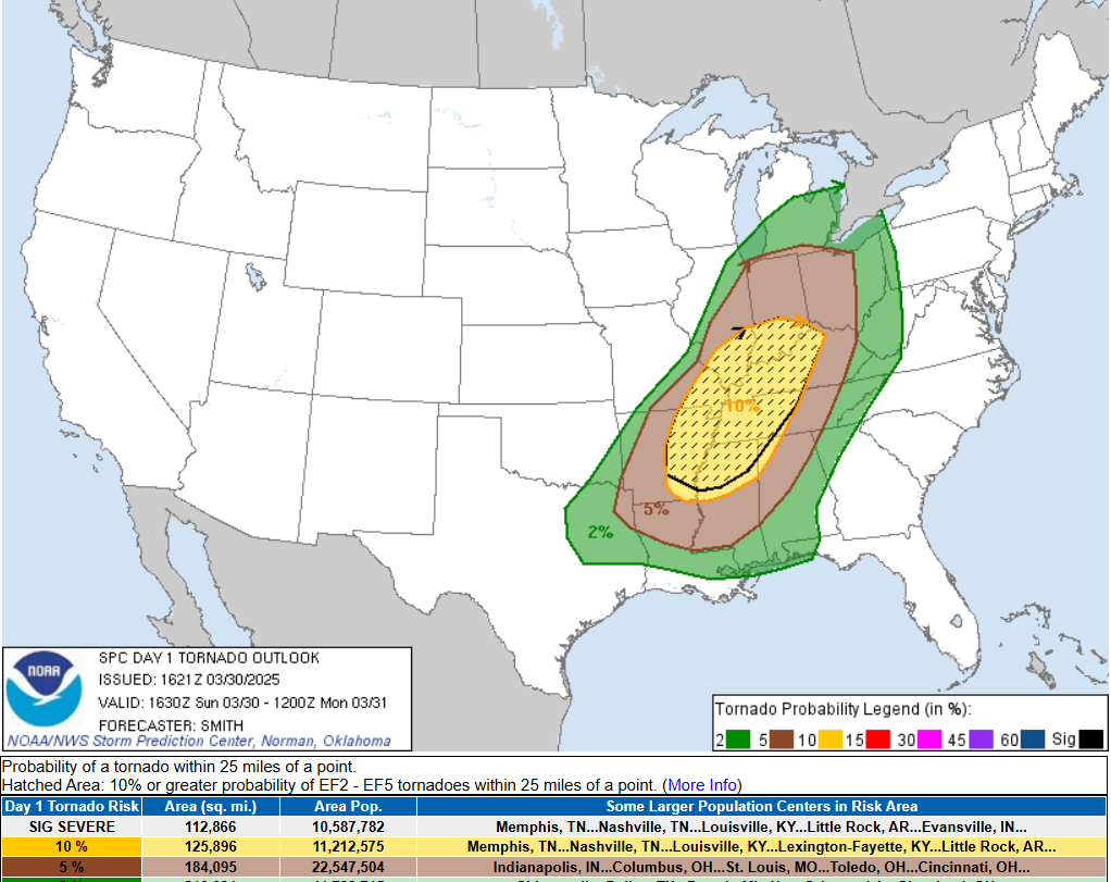
The Storm Prediction Center has our area, and many other areas, under a Level 3 our of 5, for severe weather potential. We are also under a 10% hatched area for tornadoes.
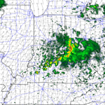
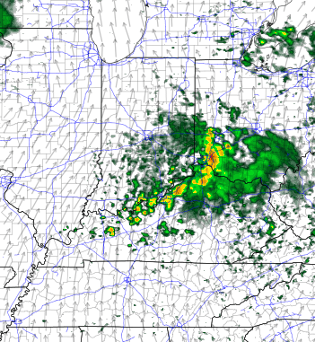
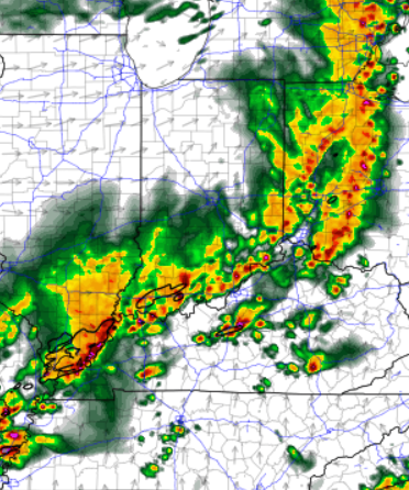
The high resolution weather models HRRR and NAM 3km, both have the severe weather threat ramping up late afternoon through late tonight. Southern Indiana will have the storms arriving first.

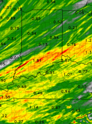
Rainfall totals will likely be around .50″ to 1.50″. While localized flooding could occur in some low lying areas, flooding will likely not be a major concern. Flooding could be a bigger issue later this week, as an active weather pattern ramps up Wednesday through Saturday… stay tuned!
- Meteorologist Ben Peine


