#image_title
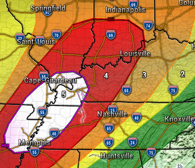
Our region is under a level 4 out of 5 severe weather risk from the Storm Prediction Center, which is fairly rare. This means we all need to be extra weather aware this evening in Southern Indiana and Kentucky, especially after 9pm. All severe weather hazards will be in play, including damaging wind in excess of 60 mph, frequent lightning, torrential rain, large hail, and tornadoes. Have a plan of action in place to seek shelter if a warning is issued for your area.
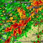
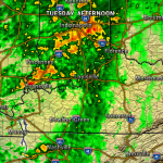
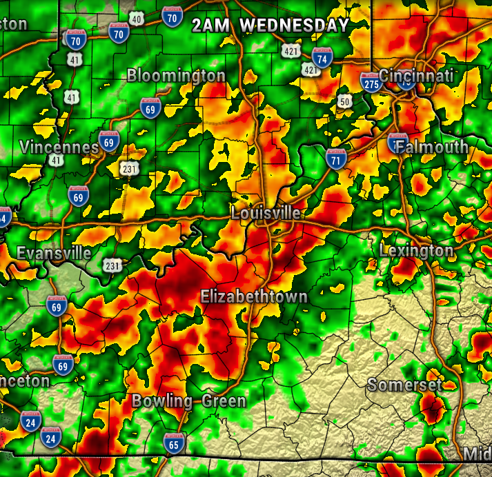
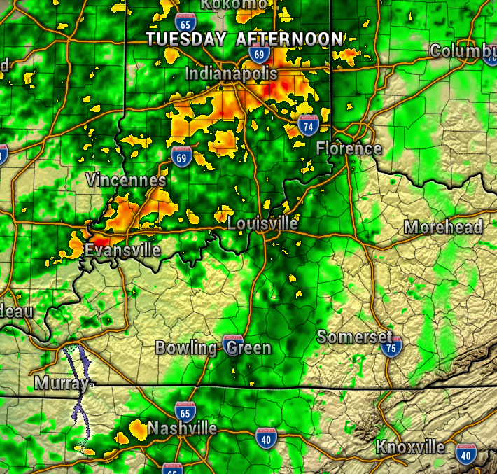
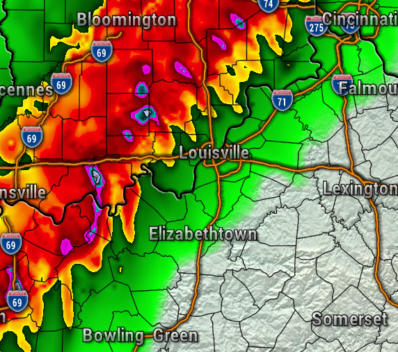
Right now, the timing of the line of severe storms is most likely after 9pm for Southern Indiana, possibly approaching Metro Louisville a bit later toward 11pm. The map below is the latest high resolution weather models at 9pm.

After this storm threat, the next issue with be potential flooding, as the rain continues through Thursday. More waves of rain are likely Friday through Sunday, with a Flood Watch in place through that time.
- Meteorologist Ben Pine


