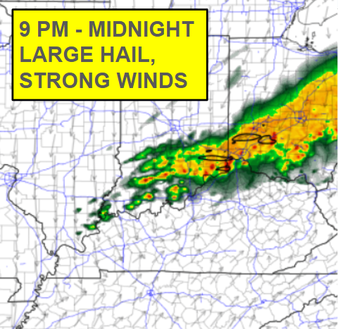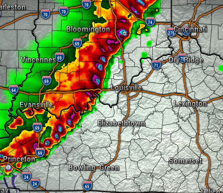
We will all need to be extra weather aware as we head toward evening today, as strong to severe storms will likely be moving into the region. All severe weather threats are possible.

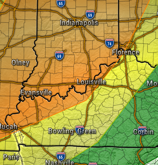
The severe weather threat will likely diminish after sunset.
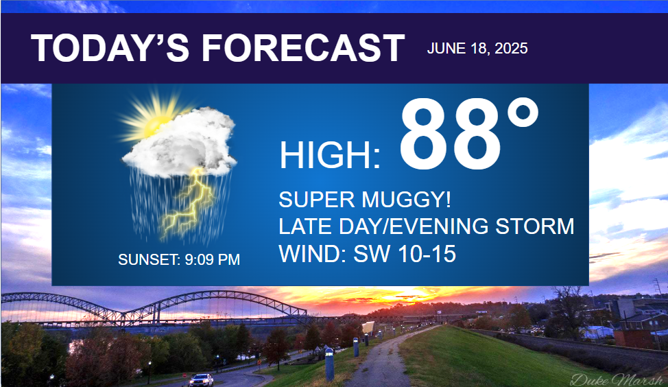
Before our evening storms, today will be super muggy, and a bit breezier with southwest winds at 10-15 mph, gusts to 20 mph. Highs in the mid-upper 80s, and mainly dry through late afternoon.
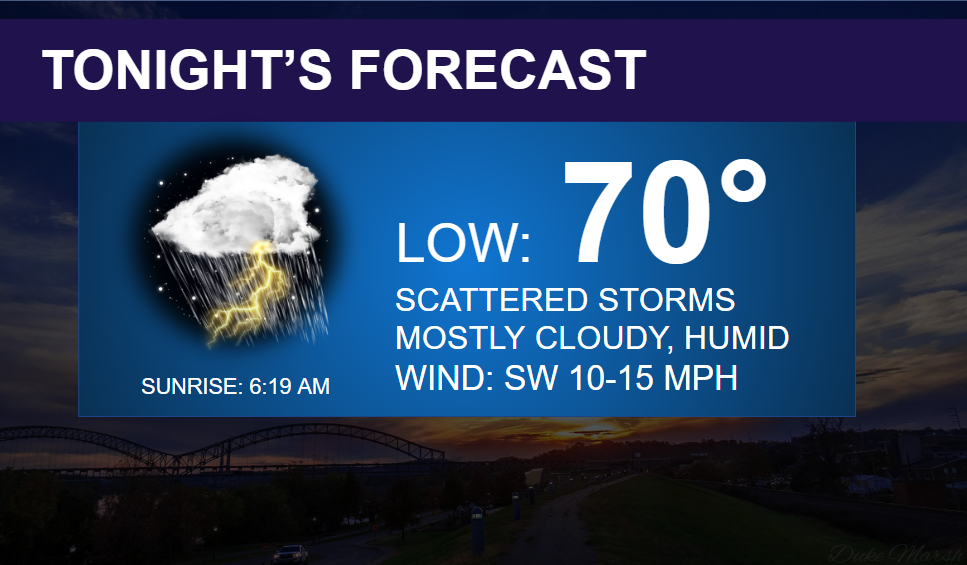
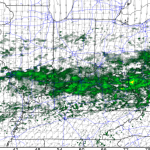
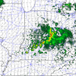
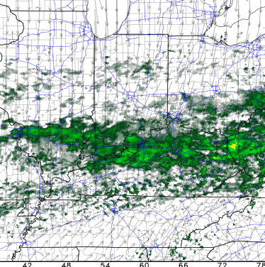
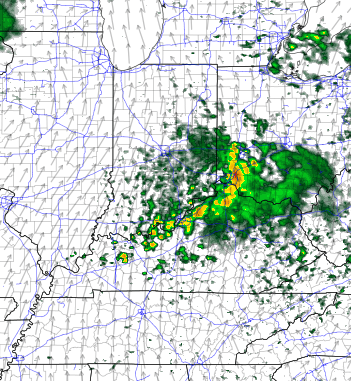
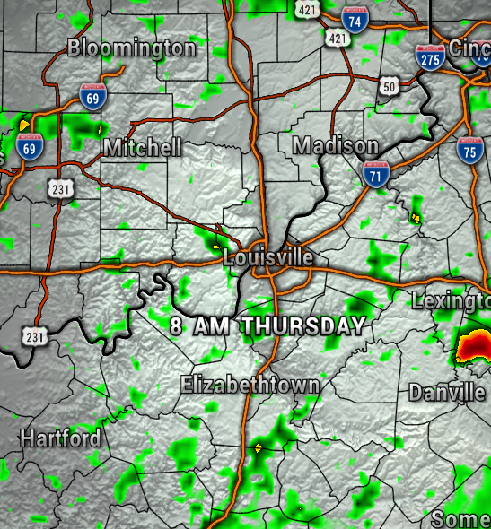
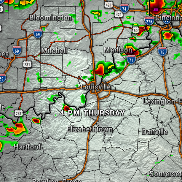
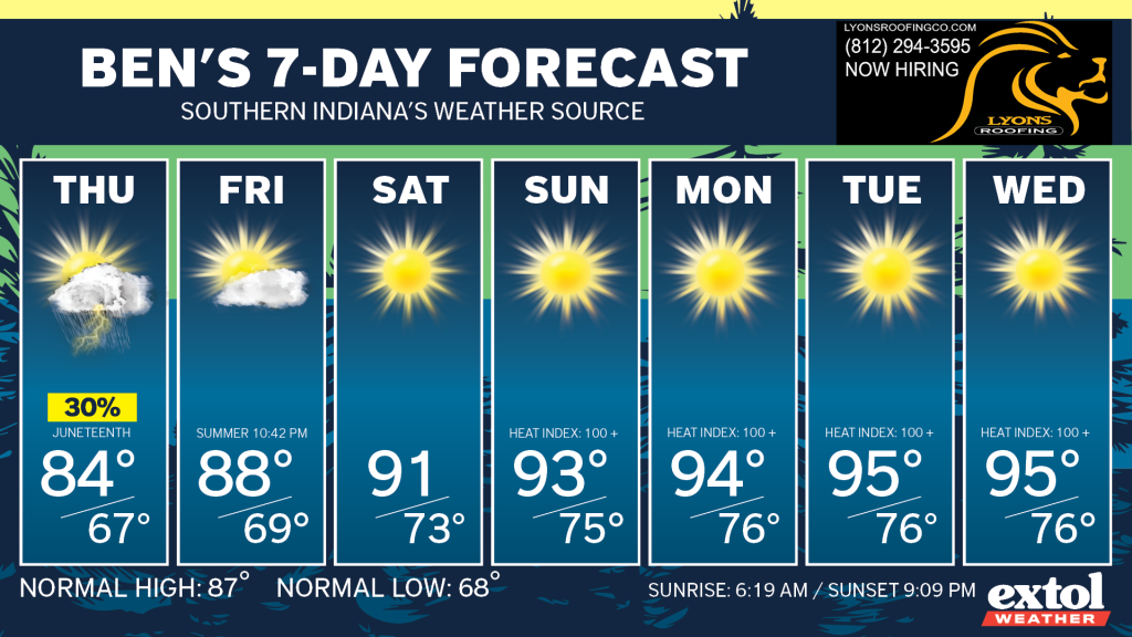
The front will be slow to move through, so a few leftover showers and storms will be possible Thursday, but no severe weather is expected. The maps below show the spotty shower chances.
Next up, summer begins officially at 10:42 PM Friday night!
It will certainly be feeling like summertime this weekend through next week with a heat wave on the way!
Heat index values could climb to around 100° or above Sunday through the middle of next week as a large ridge of high pressure sets up over the region. The hot stagnant air will also likely lead to poor air quality next week as well.
This will also lead to one our longest dry stretches of weather this year as well.
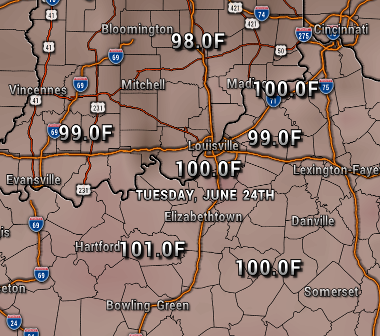
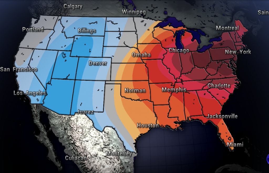
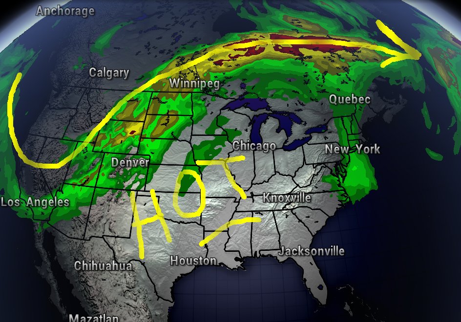
So, from once again being prepared for severe weather this evening, to getting ready for our hottest weather of the year so far – our weather is always exciting in Southern Indiana and Kentucky!
Pool and lake lovers will be loving it soon!
Take care! – Meteorologist Ben Peine


