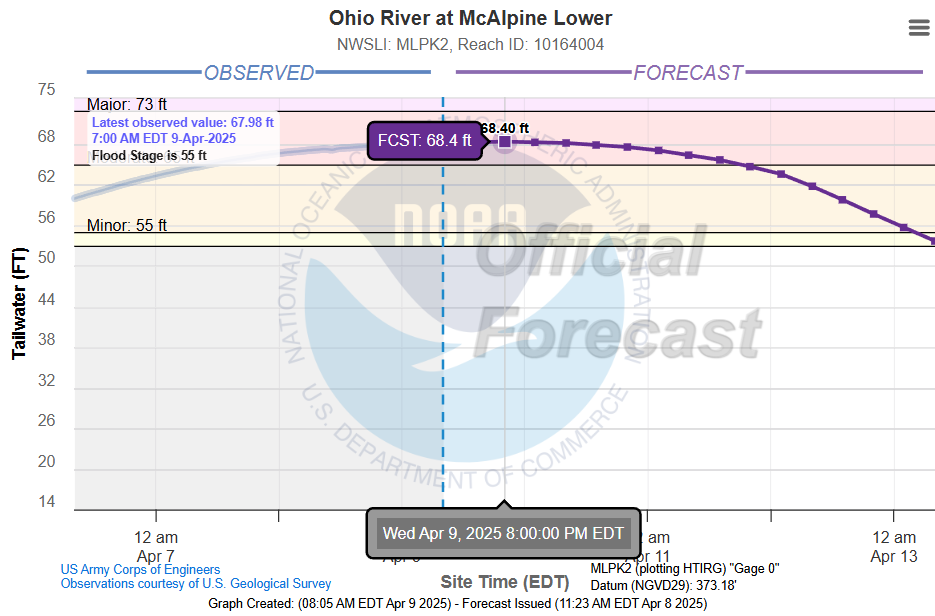
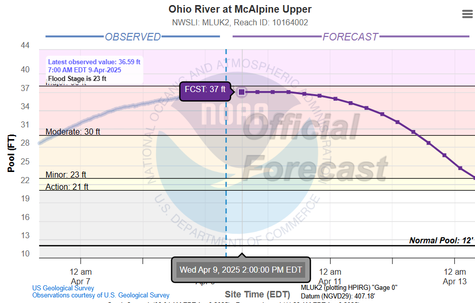
The mighty Ohio River is cresting today through Thursday, and then is expected to gradually go from Moderate to Minor flood stage Saturday, then below flood stage on Sunday. The latest official forecast for the Upper and Lower Gauges are below. These are the highest levels since 1997, surpassing the high levels of 2018.

WEATHER FORECAST
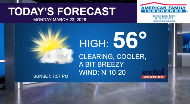
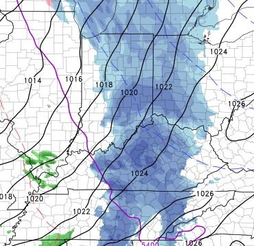
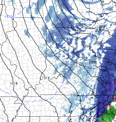
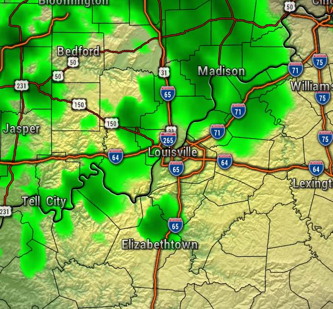
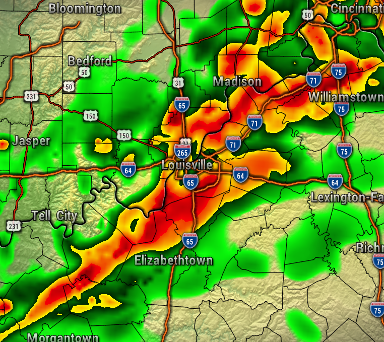
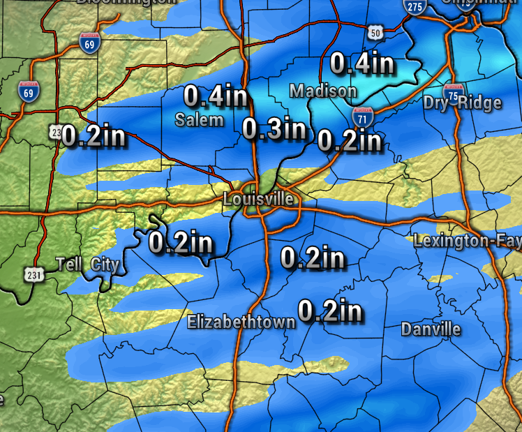
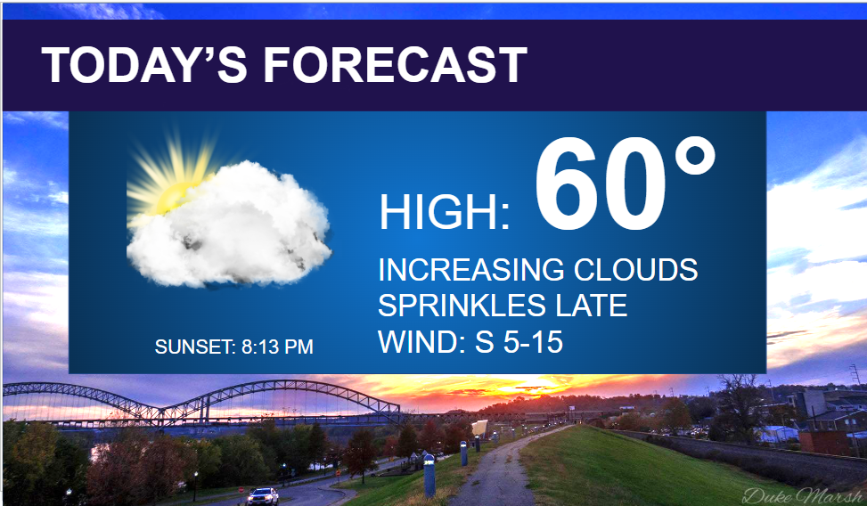
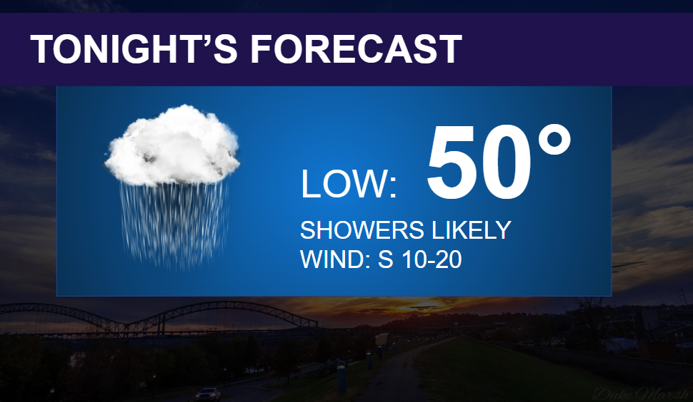
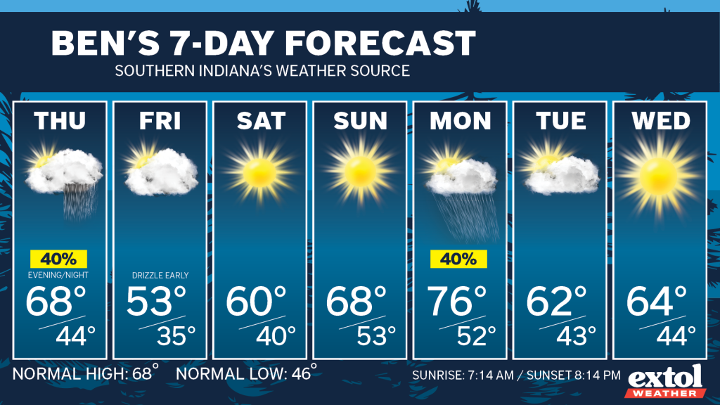
As far as the weather forecast goes, much of today will be pleasant, but later this afternoon clouds will be increasing with a high near 60°. Expect some sprinkles to develop through this afternoon and evening. South winds at 5-15 mph. We are expecting more widespread rain overnight, with generally 1/2″ or less rainfall total expected. Most of the rain will be moving out by 5 AM. This will leave most of Thursday dry, before some spotty showers/storms arrive Thursday evening. Warmer temperatures in the upper 60s Thursday.
We’re looking dry Friday through Sunday with gradually warming temperatures. Expect highs in the lower 50s Friday and mostly cloudy, then all sunshine this weekend with highs near 60° Saturday, then upper 60s Sunday.
The next cold front could bring some spotty light rain showers to Southern Indiana Monday afternoon and evening.
- Have a great Wednesday! – Meteorologist Ben Peine


