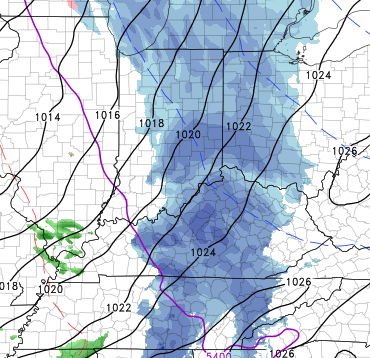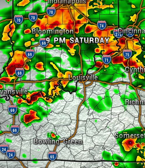
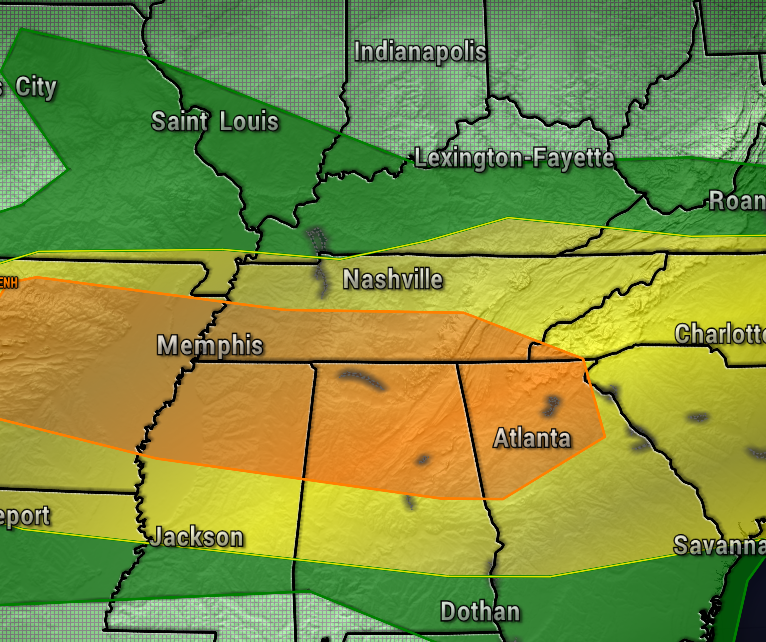
Showers and storms are expected again late this afternoon into the evening, as low pressure rides along a stationary front lingering over the Ohio Valley. Thankfully, the severe weather threat is very low, staying much higher to our south.
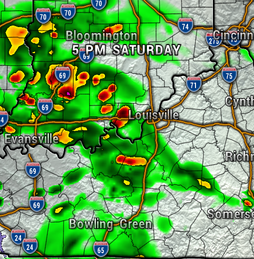
Most of the latest high resolution weather model data has the next round of rain moving in after 5 PM, with scattered showers continuing off and on through late tonight. Keep the rain gear handy if you have Saturday evening plans!

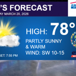
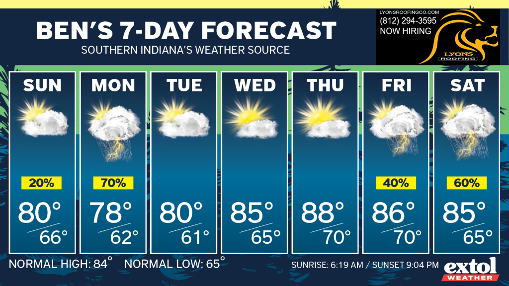
A lingering isolated shower is possible as the front begins to move south early Sunday, but most of the day will be dry with highs near 80°.
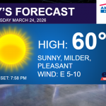
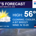
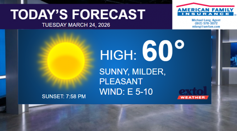
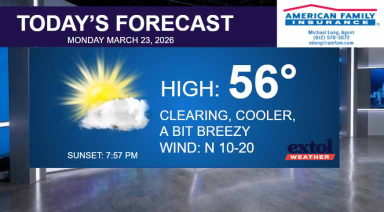
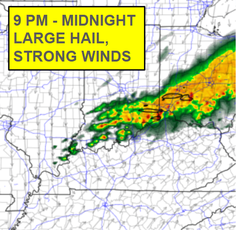
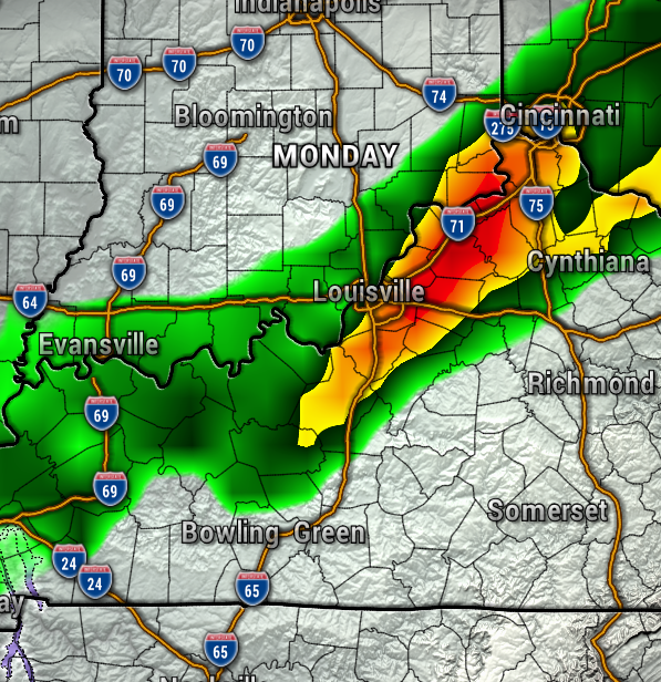
As we start our next workweek, we can expected another line of showers and thunderstorms on Monday (timing not certain yet). However, we’ll have a few dry days Tuesday through Thursday.
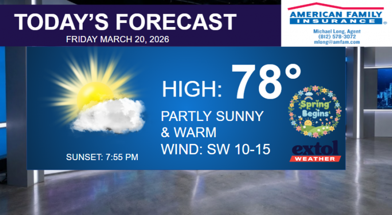
More rain likely by Friday into next Saturday.
- Meteorologist Ben Peine


