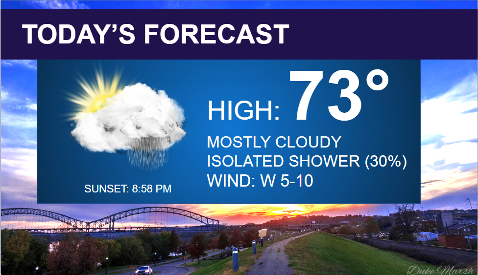
We’re continuing to track more rain chances to round out our last week of May.
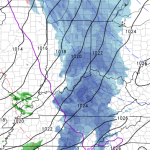
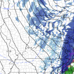
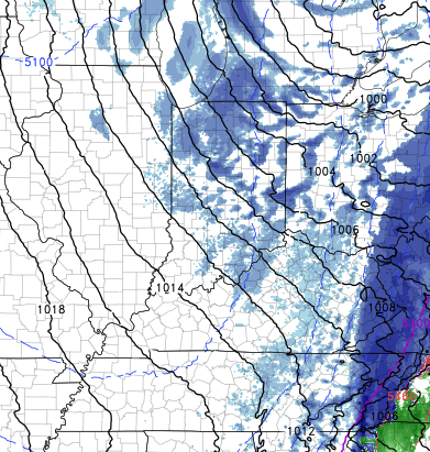
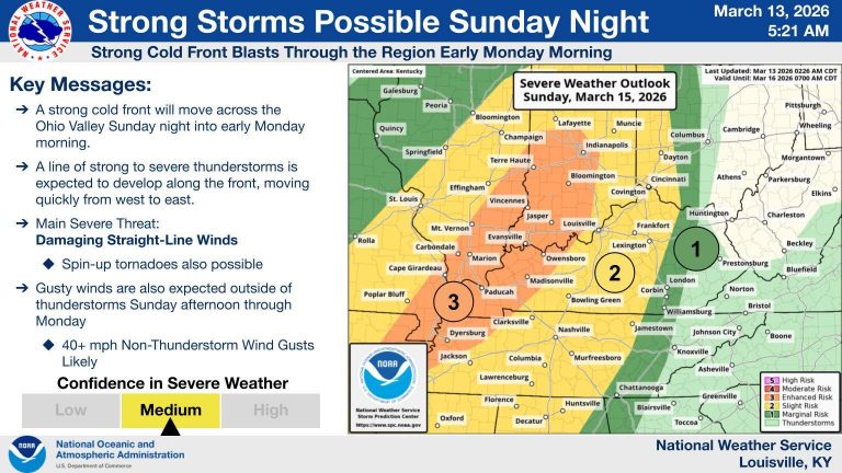
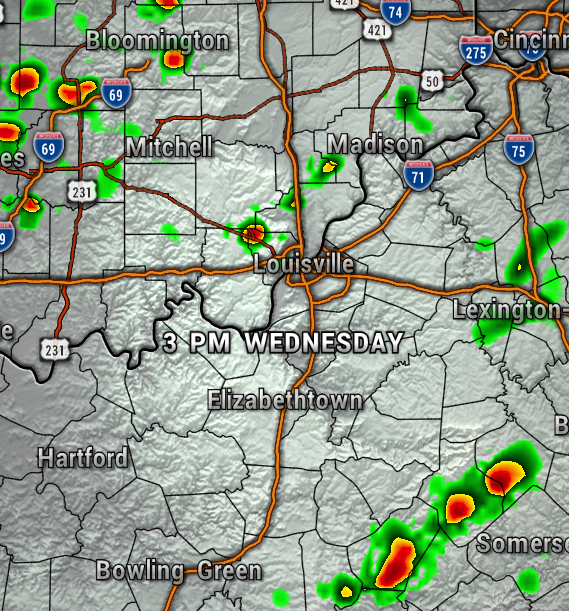
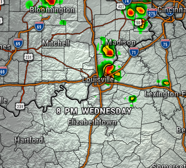
For today, expected just an isolated shower, but we’ll have plenty of dry time through this afternoon and evening. Hoping for some peeks of sunshine with highs in the lower 70s, light west wind at 5-10 mph. The maps below show the isolated showers this afternoon and evening.

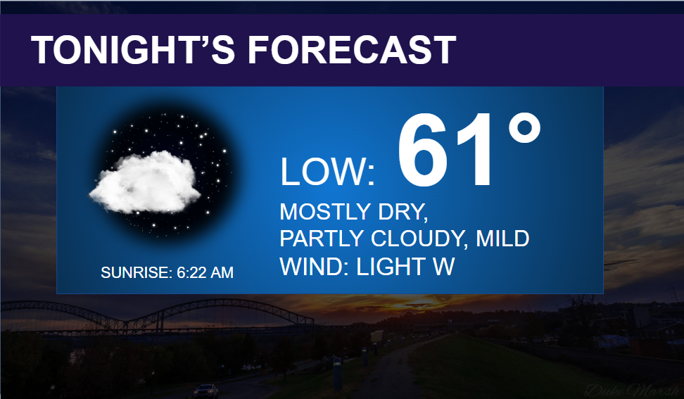
Tonight will be mostly dry and quiet, with lows near 60°.
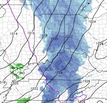
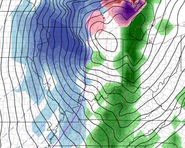
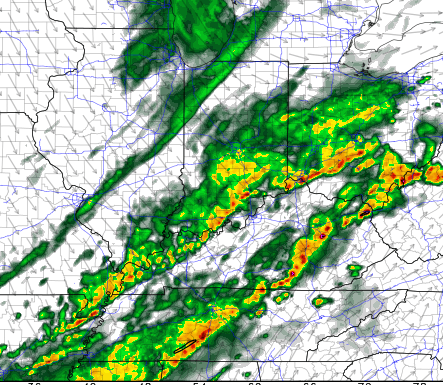
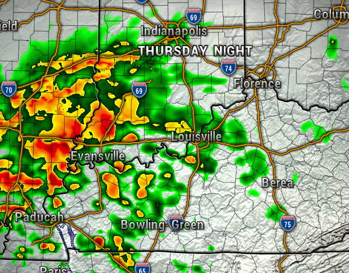
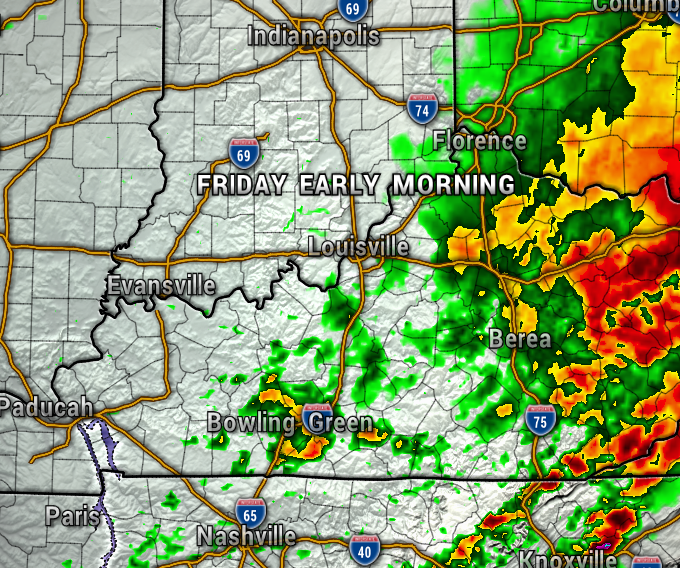
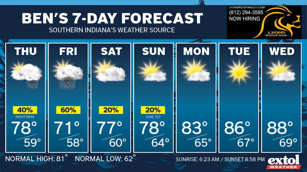
Thursday will be dry during the daytime, but plan on the next batch of rain arriving Thursday evening/night into Friday morning. Friday won’t be a washout, but rain is likely early in the morning, with more possible late in the day and evening. The maps below show the rain Thursday night and Friday morning.

Most of our weekend is looking dry and comfortable with highs in the upper 70s, however, a weak front could pop up a few isolated showers Saturday and Sunday. But, again, mostly dry.
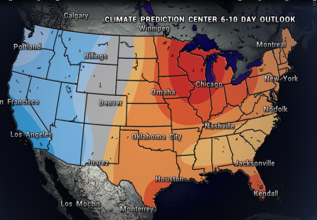
Next week, the weather models are looking much warmer and drier. The Climate Prediction Center shows the orange colors over our region next week, which means above normal chances of above normal temperatures. We may have some mid-upper 80s by the middle of next week. June could finally bring a more summer-like pattern many have been looking forward to for the pools and lakes!
Keep the umbrella handy for a bit longer, until we head into June! – Meteorologist Ben Peine


