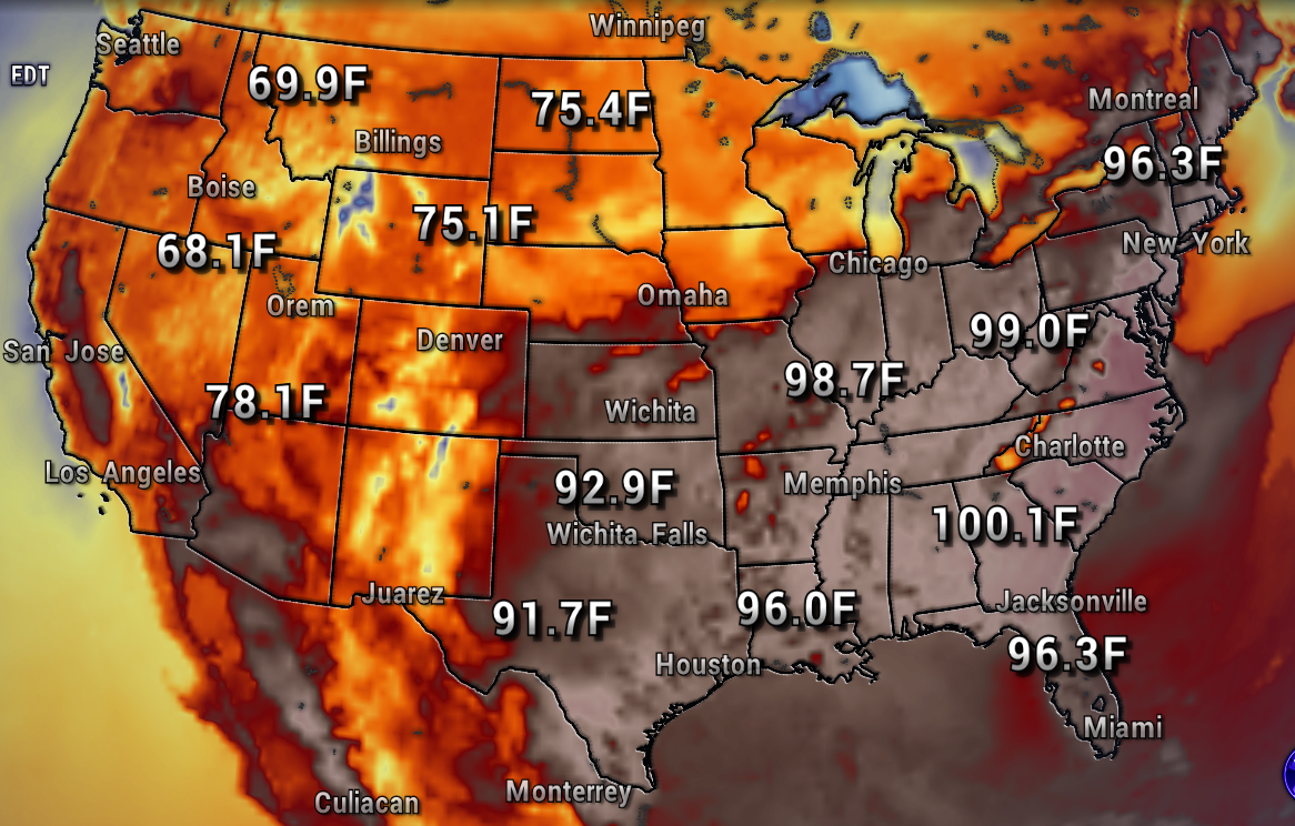
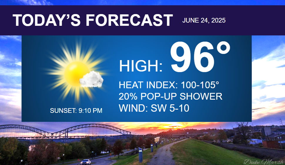
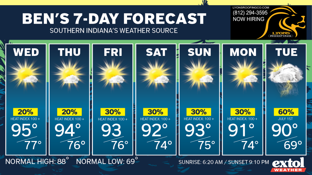
Our late June heat wave will roll on for the rest of this week with highs in the low-mid 90s, and heat index values at 100°+.
The National Weather Service has issued a Heat Advisory which continues through at least Wednesday.
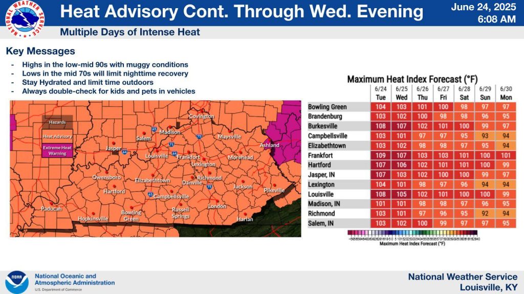
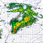
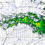
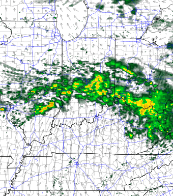
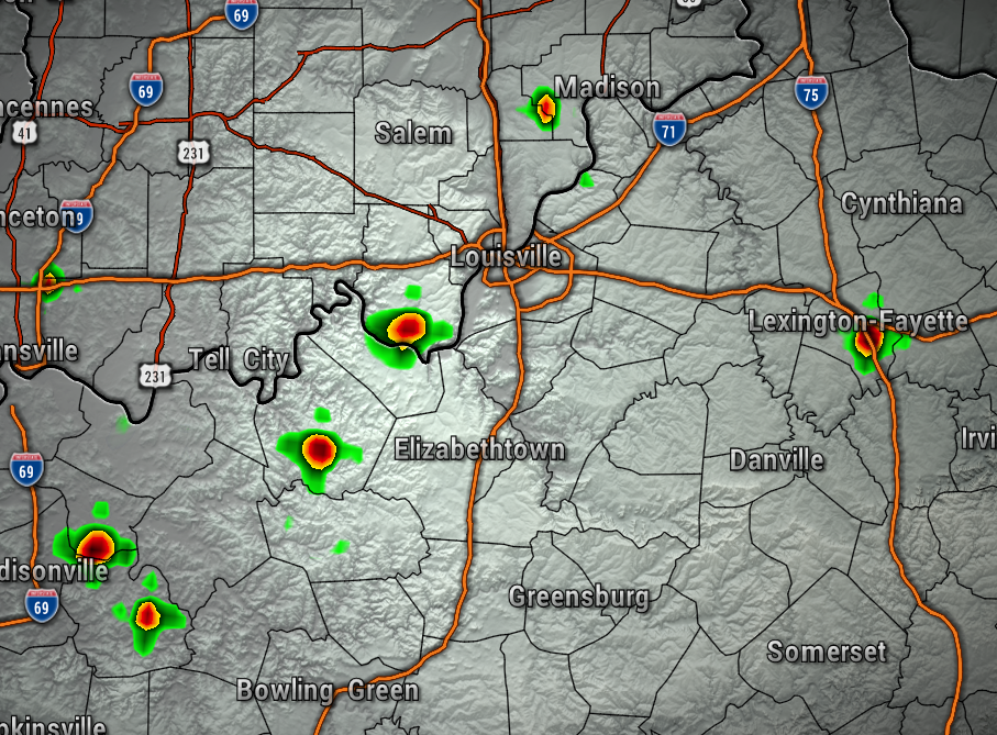
There’s only a very small chance of an afternoon pop-up shower, but we will be staying mostly dry through this week. You can see our mostly dry conditions through this afternoon on the map below.
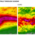
The long-range weather model data is hinting that we could see rain and temperature relief early next week.
In the meantime, stay hydrated, seek shade and A/C, and take frequent breaks if working outdoors.
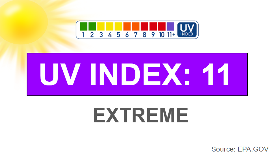
The UV Index will stay at an extreme level as well, so keep the sunscreen handy!
- Meteorologist Ben Peine


