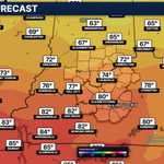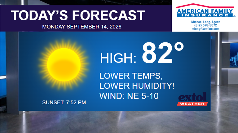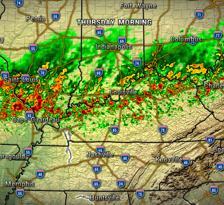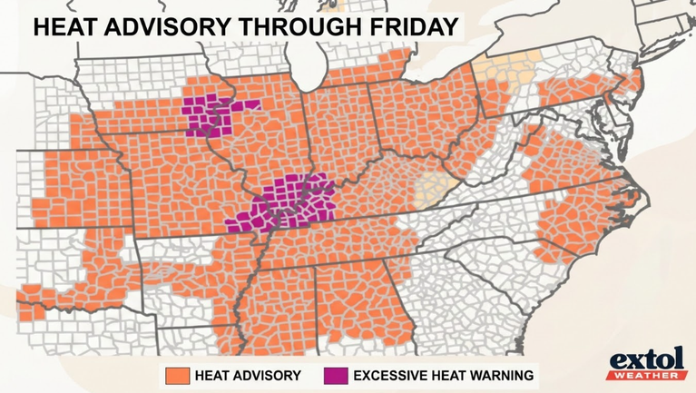


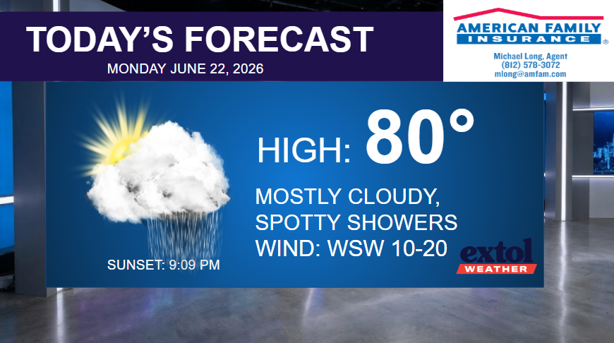
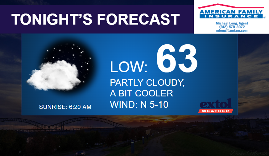
After a busy night and morning of active weather and flooding across the region, the front will start to move south, and we’ll trend drier through this afternoon. Mostly cloudy with highs in the upper 70s to near 80°, with a west wind turning northwest at 10-20 mph. A bit cooler in the lower 60s tonight.
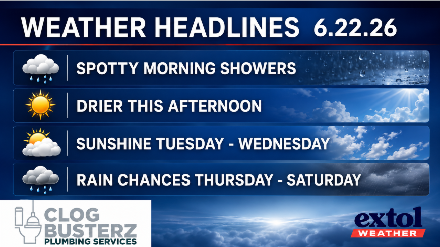
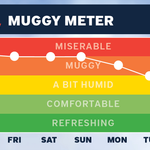
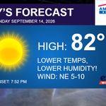
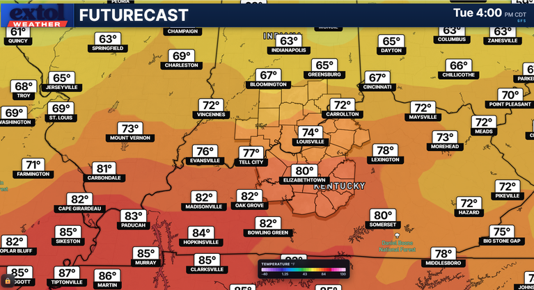
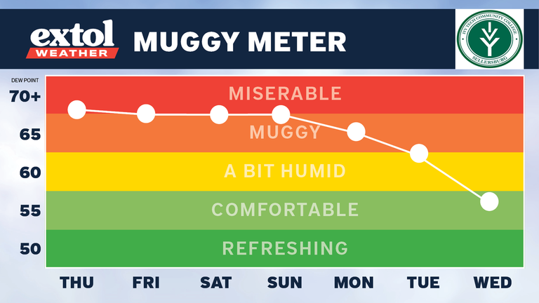
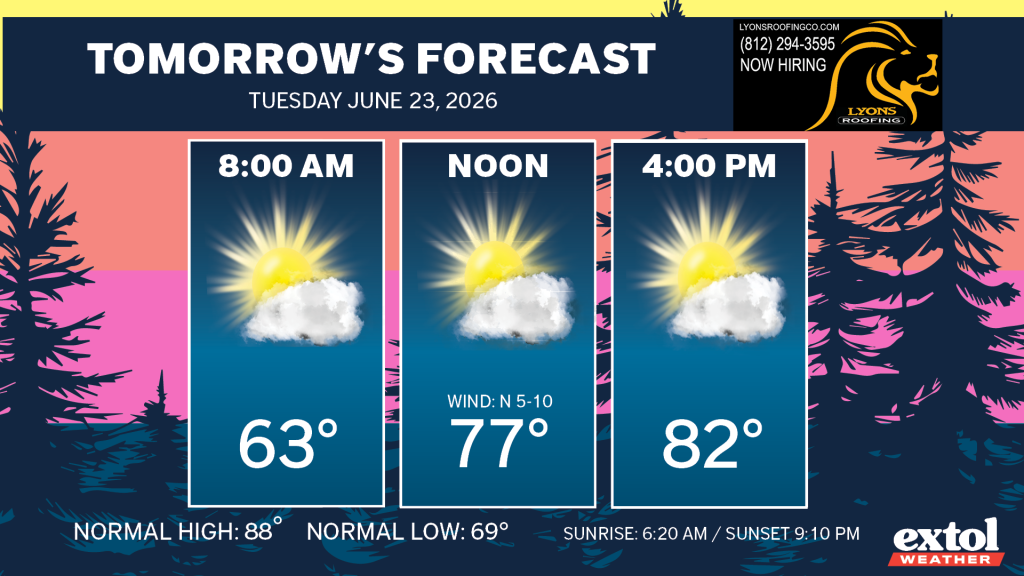
The next couple of days will be comfortably warm and pleasant with lower humidity and lower 80s Tuesday and Wednesday.
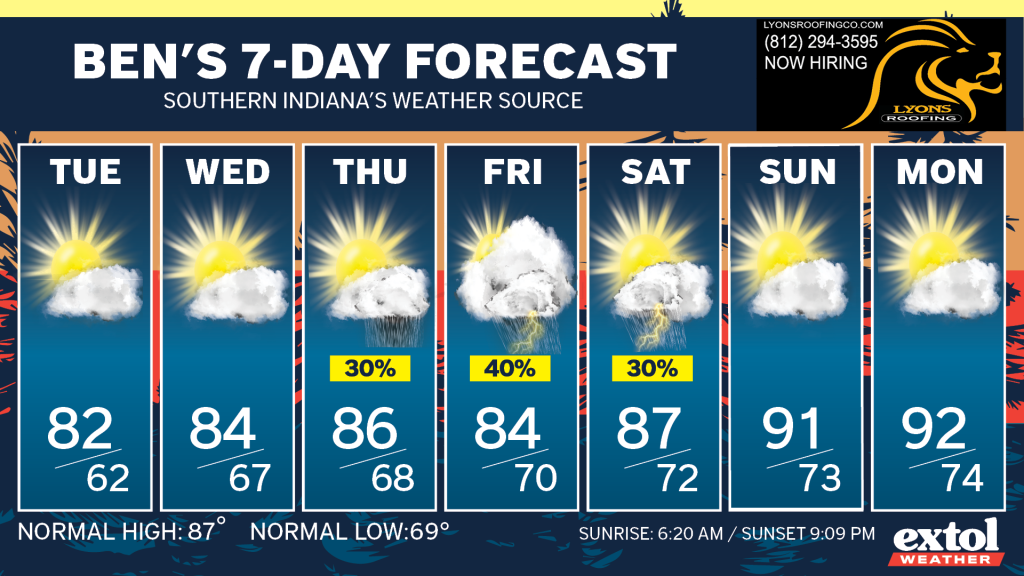
We’ll start to pick up a chance of spotty showers and storms again Thursday through Saturday, then a hotter pattern into next week.
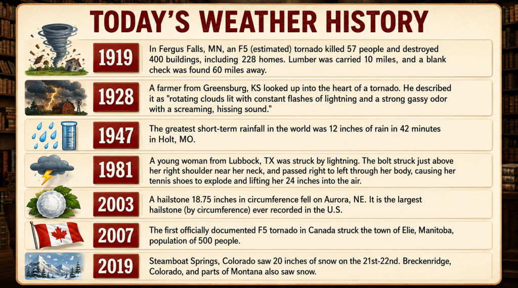
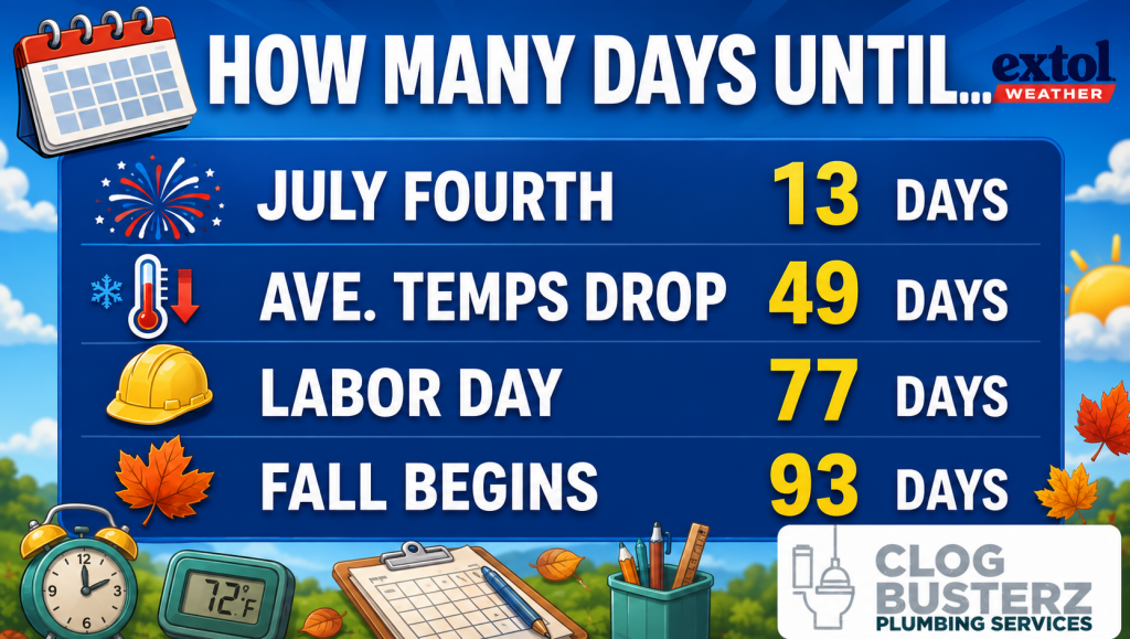
Here’s today’s weather history, countdown, and jokes.

-Meteorologist Ben Peine.