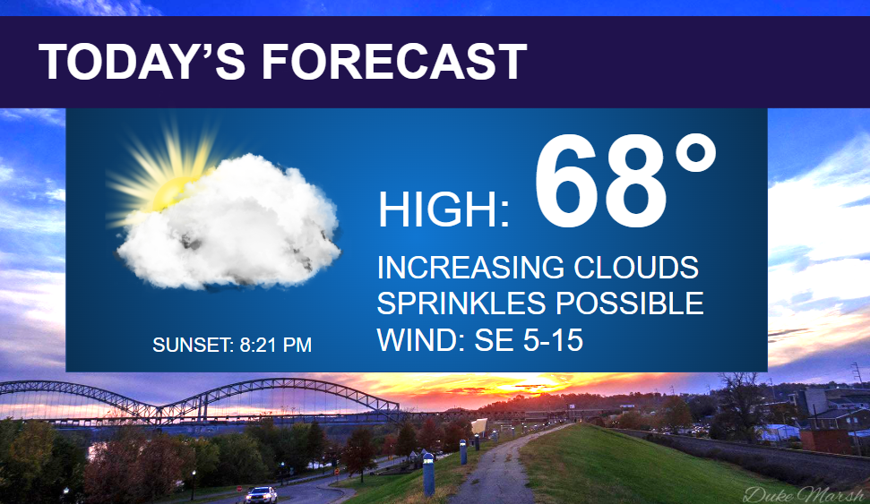
A warm front will be lifting over Southern Indiana today with just a small chance of some sprinkles. Most of our Thursday will be dry, but expect increasing afternoon clouds and southeast winds at 5-15 mph. Highs will top out in the upper 60s.
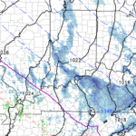
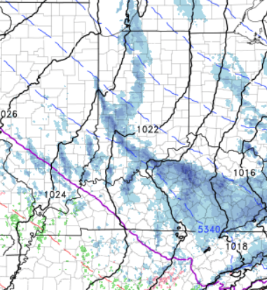
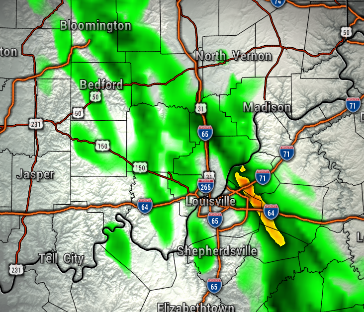
The map below shows the high resolution model data showing light precipitation this afternoon, but the light rain will be fighting dry air at the surface, so mostly dry conditions are expected.
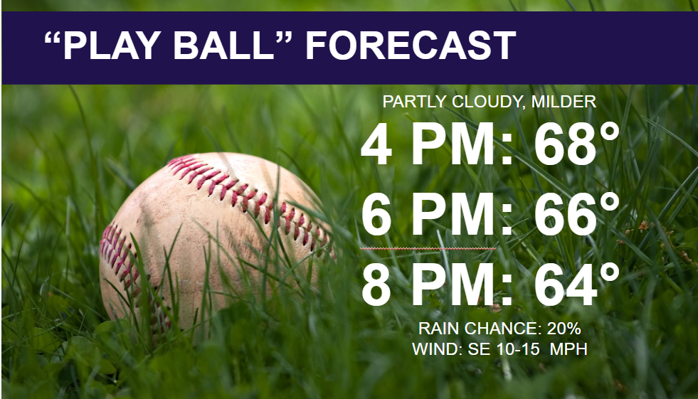

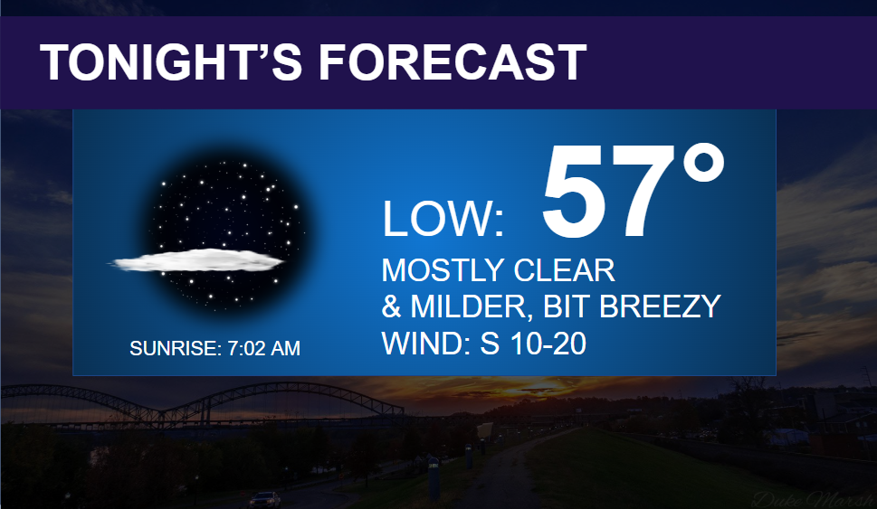
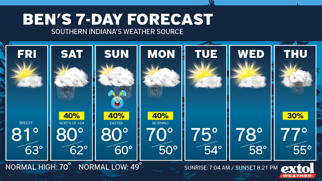
Temperatures will be heading up to around 80° Friday through Sunday. Our warm Easter Weekend may be interrupted by some spotty rain showers, but much of the more widespread rain is expected to stay to our north over Central Indiana. Therefore, we should have plenty of dry periods to enjoy those Easter egg hunts.
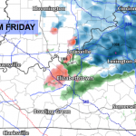
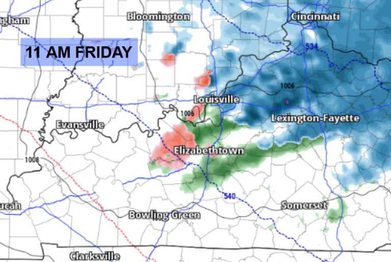
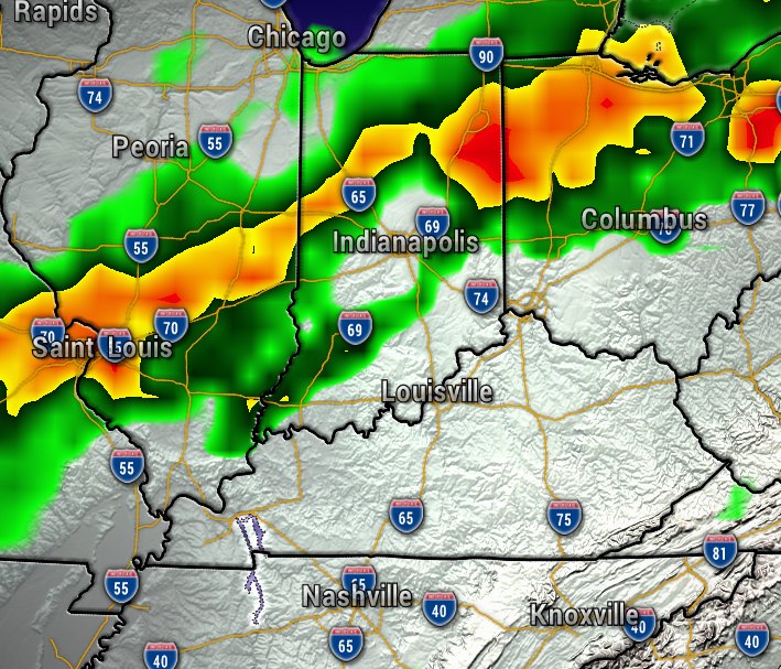
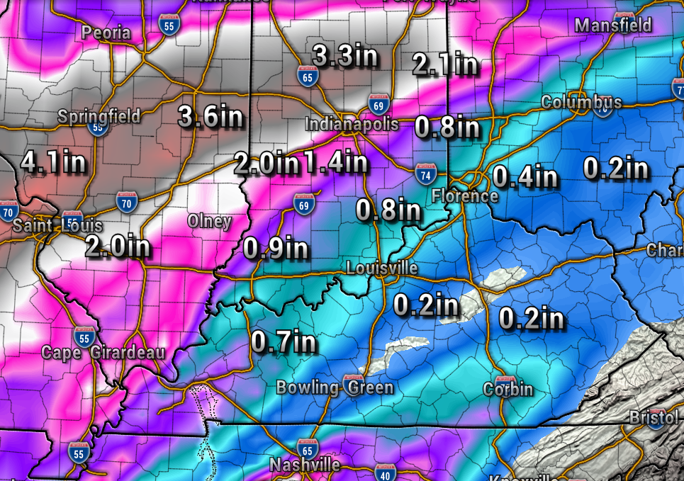
The maps below show the rain Saturday staying heavier to our north. So far, it looks like some spotty rain showers will be possible early Saturday and again late Sunday night. Rainfall totals appear to be much heavier to our northwest, so no significant flooding is expected.
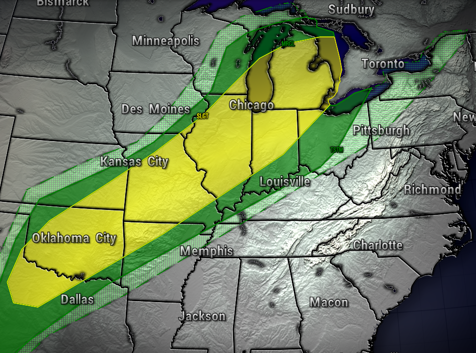
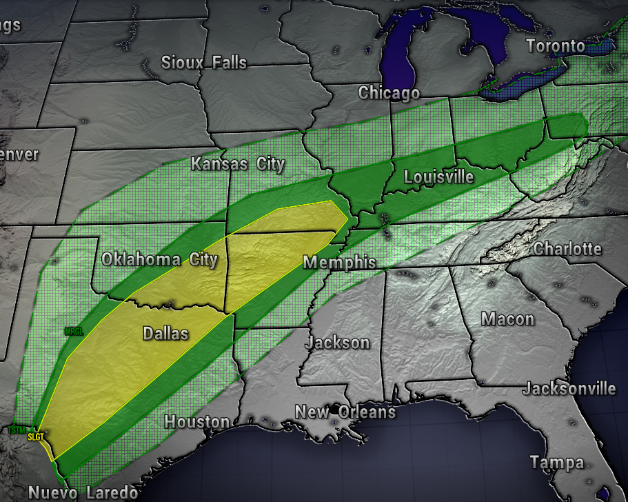
With all of that said, the 7-Day Forecast is looking pretty pleasant, as the milder air is winning through the extended outlook.
Have a great Thursday! – Meteorologist Ben Peine

