#image_title
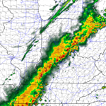
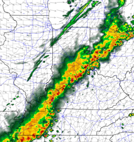
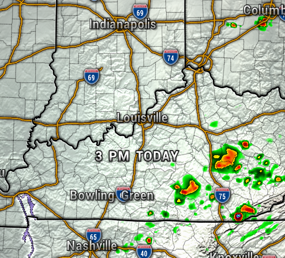
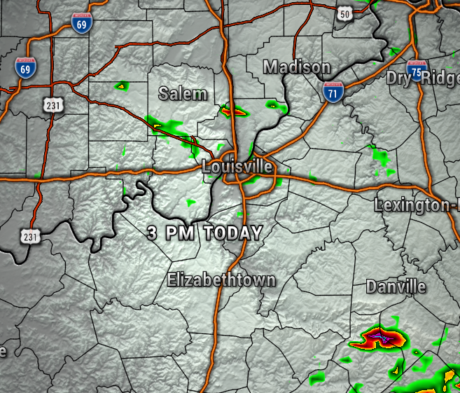
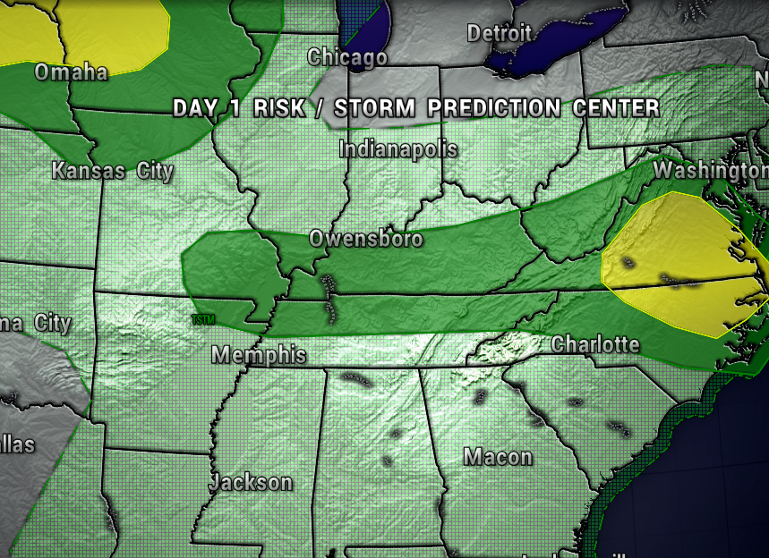
After flooding rain and storms Thursday, we’ll have a bit of a break for our Friday with only an isolated pop-up expected. The best chance for storms today will be over South Central Kentucky. The maps below are the NAM 3KM and HRRR high-res weather models for this afternoon.
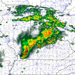
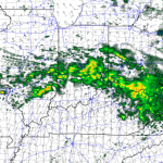
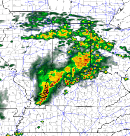
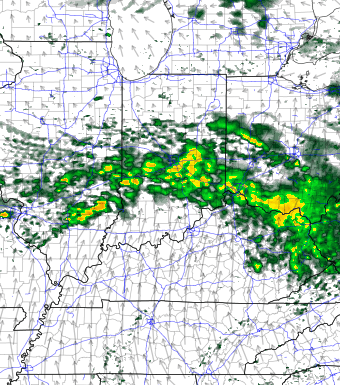
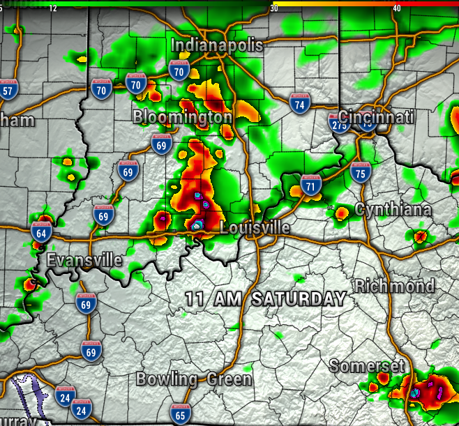
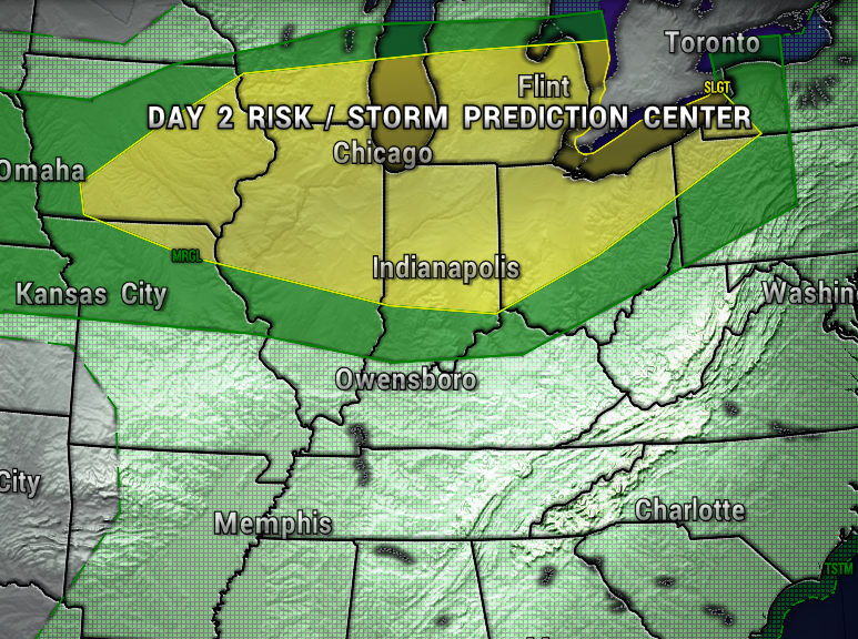
However, be prepared for more scattered storms this weekend. Notice on the maps below, we could have a morning round, then a break for much of the afternoon Saturday, then an evening round of storms.

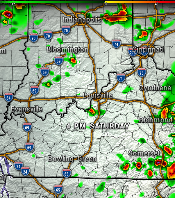
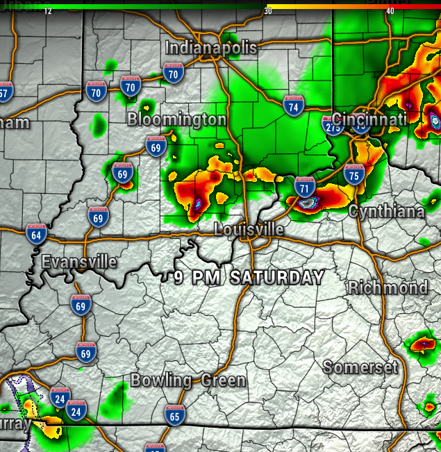
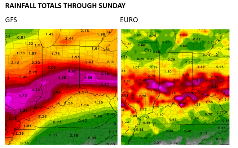
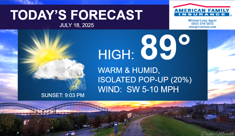
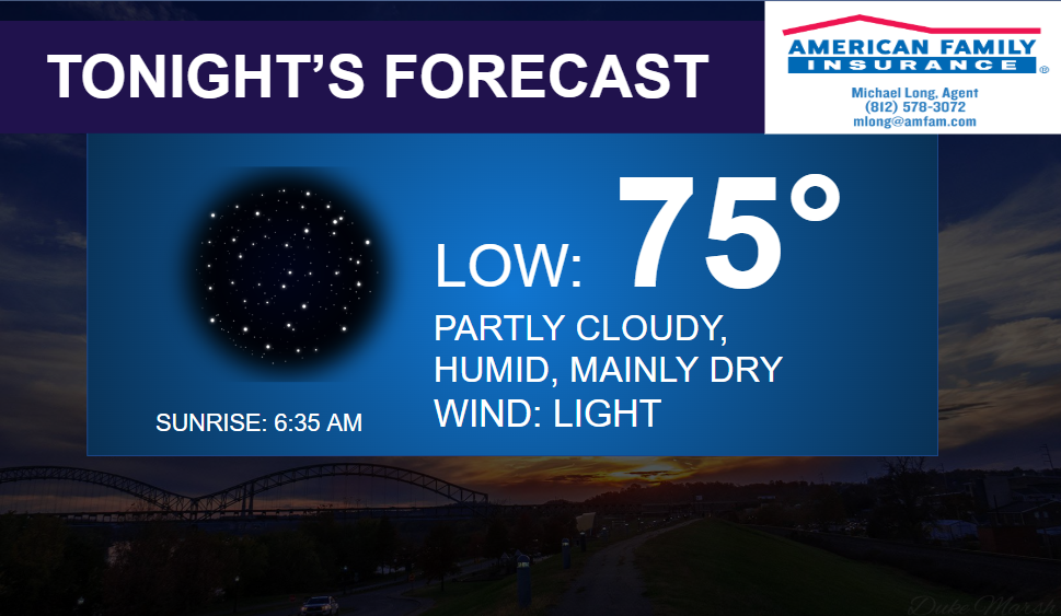
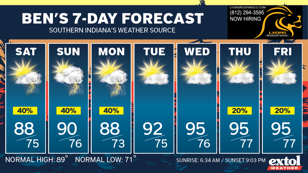
Expect muggy and mostly cloudy conditions today with highs in the upper 80s. Light southwest wind. Partly cloudy and humid tonight, lows in the 70s. The severe weather threat will remain low with any storms this weekend, but continue to watch out for flooding potential.
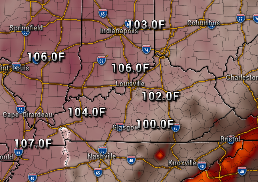
There really is no end in sight at this point to our steamy weather pattern, in fact, a heat wave could build into the region next week with triple digit heat index values returning. The map below shows the ugly heat index numbers next Wednesday.
So, let’s hope our air conditioners keep working well, and let’s just get through a very muggy July. There is hope for some relief by the end of the month into early August.
-Have a great weekend! Meteorologist Ben Peine


