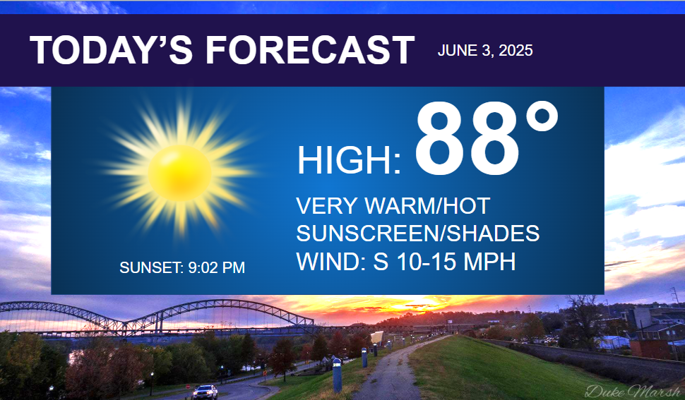
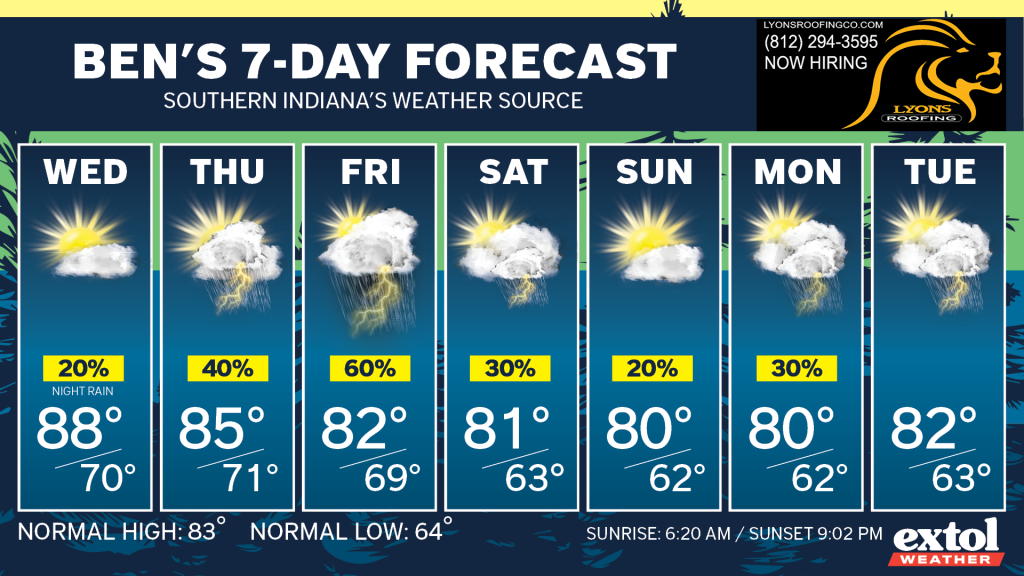
Our warmest temperatures of the year so far are expected today and tomorrow, with highs reaching the upper 80s.
The warmest so far in 2025 is 86°. We typically hit 90° by May 31st.
Expect sunshine and upper 80s this afternoon, with a south wind at 10-15 mph. The sunshine will likely be a bit hazy again with leftover Canadian wildfire smoke still hanging around the region.


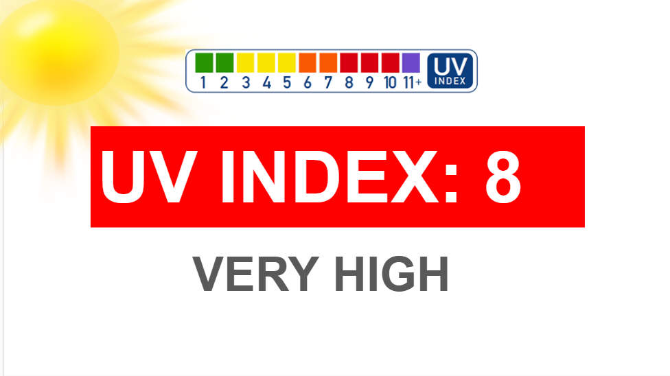
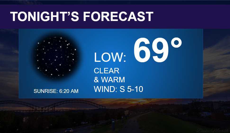
Tonight will be mostly clear and warm with low temperatures in the upper 60s and low 70s, with a south wind at 5-10 mph.
Wednesday will be just as warm and a bit humid, with highs in the upper 80s.
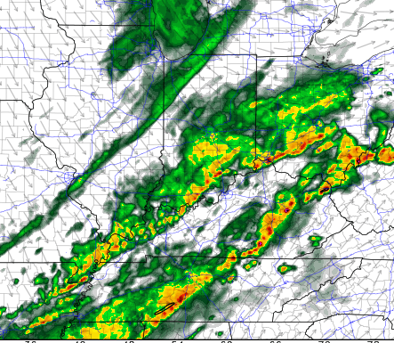
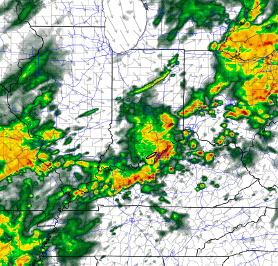
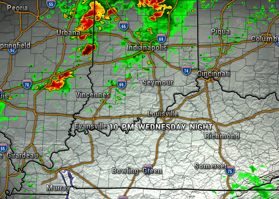
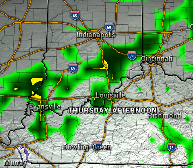
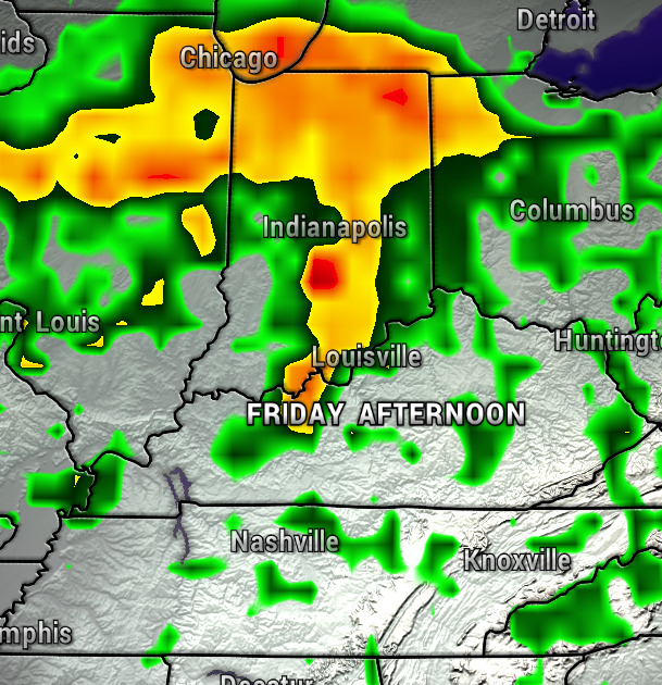
A front will arrive and stall out (stationary front) over the region Thursday and Friday with periods of showers and storms expected. Severe weather is not expected Thursday, but a few stronger storm could pass through Southern Indiana on Friday. Rainfall totals of 1-3″ possible by this weekend.
The front will start of move south Saturday, but a few showers and storms could linger. Temperatures will head back to normal, or a little below normal, in the upper 70s and lower 80s this weekend into early next week.
Enjoy the summer-like temperatures! – Meteorologist Ben Peine


