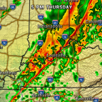
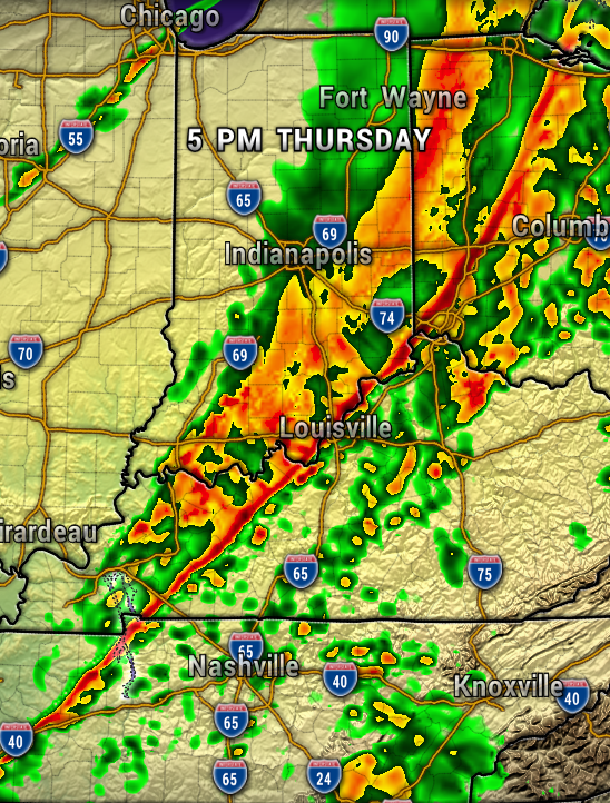
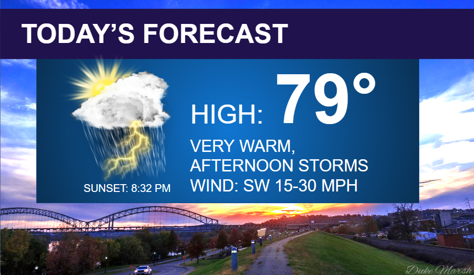
Be prepared for the potential of strong to severe storms developing this afternoon and evening. Damaging wind gusts, heavy rain, frequent lightning, and large hail possible. The tornado threat is low.

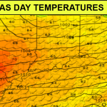
Our atmosphere will become warm and humid this afternoon, with high CAPE (storm fuel) values, which could help breed and feed strong to severe storms today. The map below shows plenty of energy all around the region.
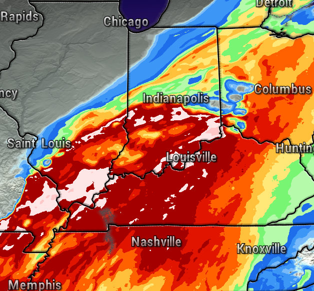
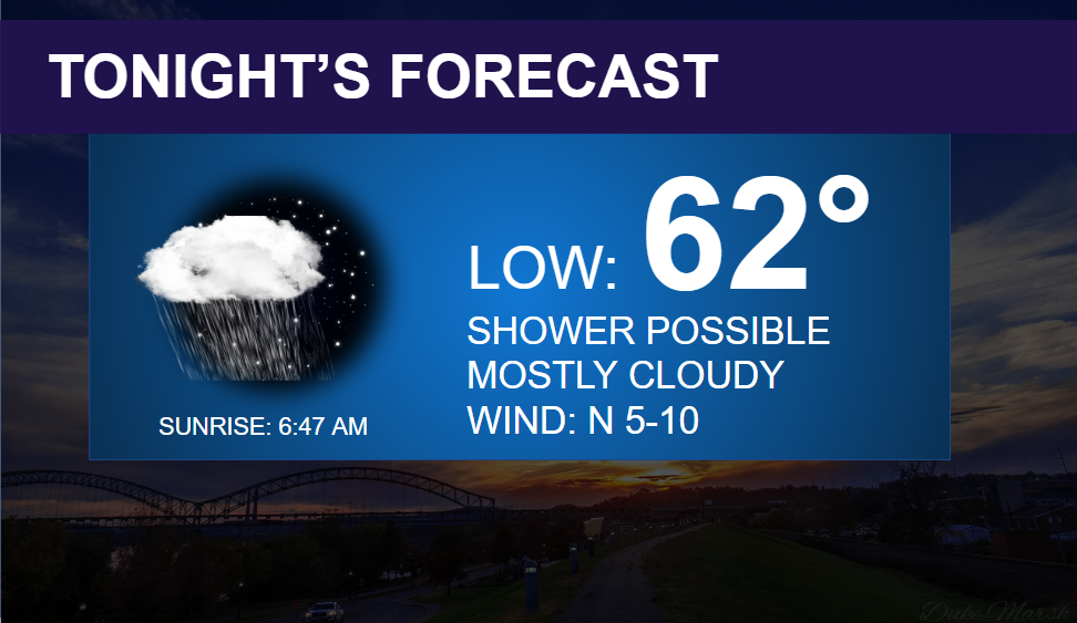
With that said, be extra weather aware today, and ready to seek shelter if a warning is issued for your area. The storms will diminish after 9-10 PM. A few showers possible overnight.
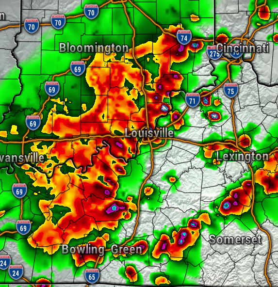
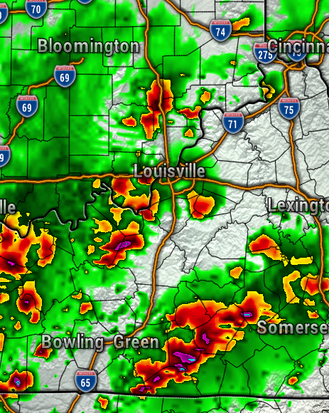
The maps below are the HRRR and the NAM 3KM high resolution weather models at 7 PM today. Storms could certainly fire up before that time though.
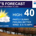
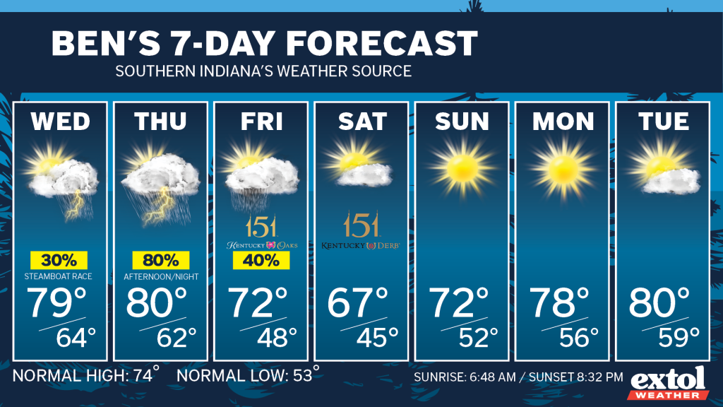
Periods of showers and storms will continue through Friday. For both Wednesday and Thursday, it looks overall drier during the first half of the day, then rain chances ramp up toward evening. So, we’re not expecting a total washout either day. For Oaks on Friday, plan for spotty light rain showers, and temperatures in the lower 70s.
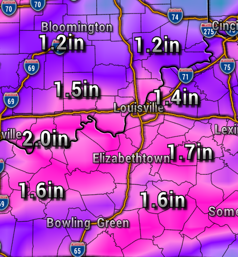
Rainfall totals through Friday are around 1-2″, with locally heavier amounts possible.
We’ll stay optimistic with a clearing trend for Derby Day and highs in the 60s. A much-deserved dry pattern could be in store for this weekend through much of next week.



Have a great rest of your Derby Week! – Meteorologist Ben Peine


