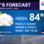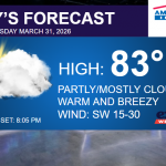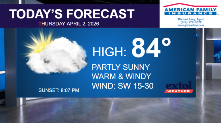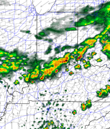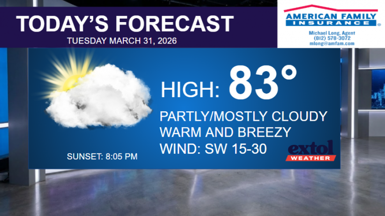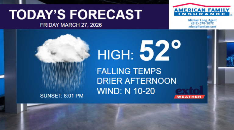
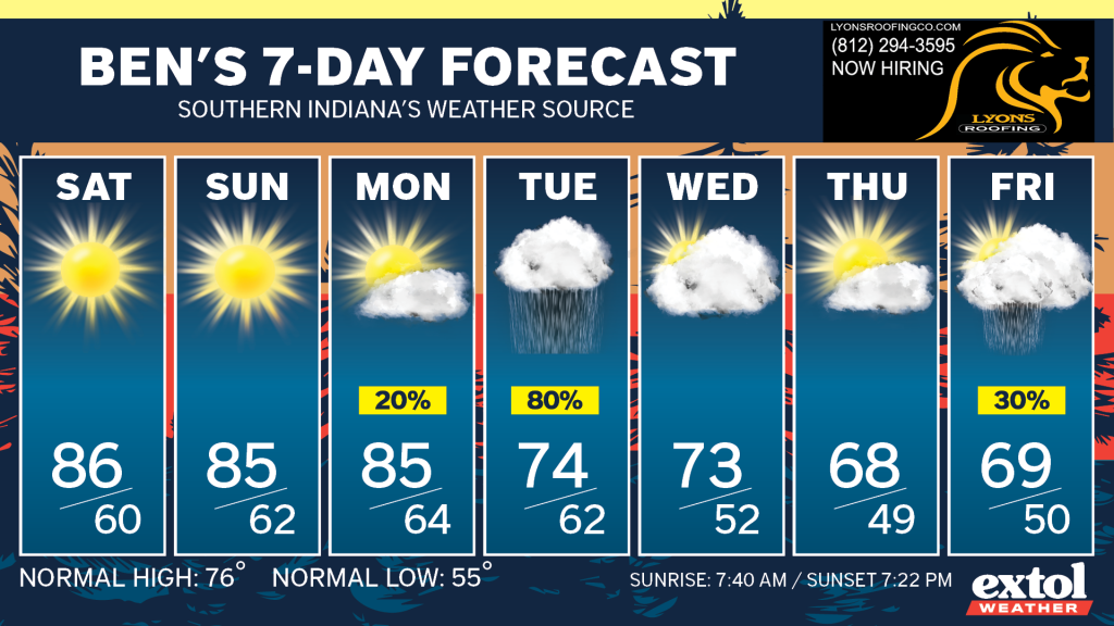
Our warm and dry weather pattern will continue through Monday, adding up to possibly eleven dry days in a row – perhaps the longest dry spell of the year.
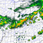
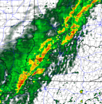
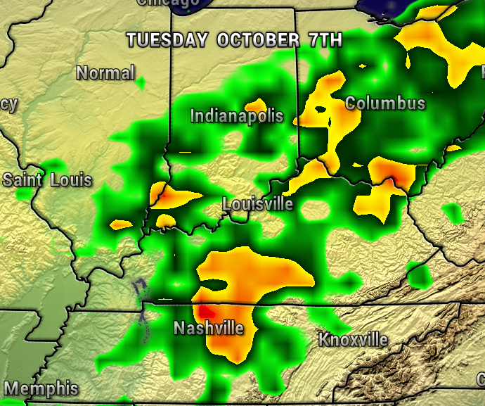
A cold front will finally bring some rain Tuesday, then cooler temperatures follow for the rest of next week.

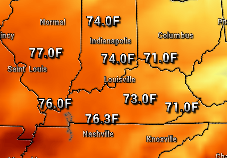
Our stretch of 80s will come to an end as well with highs in the 70s Tuesday and Wednesday and possibly down to the 60s next Thursday and Friday.
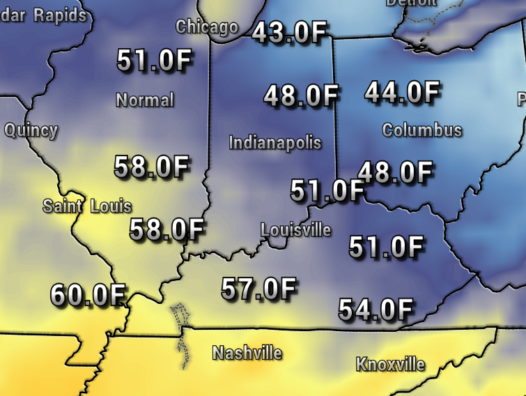
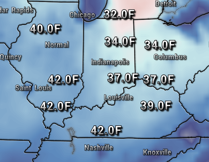
The long-range models continue to hint at the possibility of chillier air arriving sometime around mid-October. The map below shows some 30s around October 14th. We shall see!
For now, enjoy a warm and sunny first October weekend!
Have a great weekend! – Meteorologist Ben Peine


