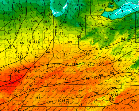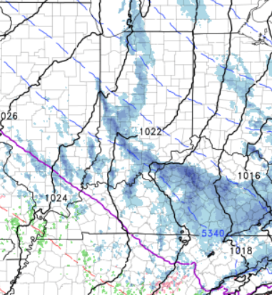
As we enjoy our warmest temperatures of the year in the upper 60s and low 70s Thursday, we’ll also have to keep an eye out for strong to severe storms developing across the region late afternoon into the evening.
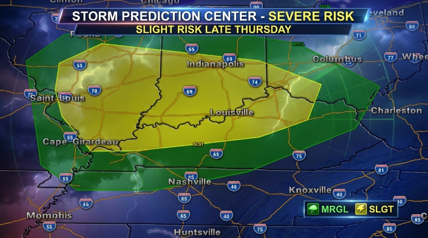
The Storm Prediction Center has placed our area in a Slight Risk for Severe Storms Thursday.
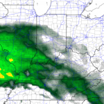
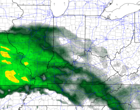
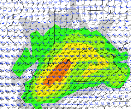
The weather models do show the ingredients for severe weather (strong wind, wind shear, some instability/fuel). The graphic below is the Supercell Composite, which combines those ingredients.

While, this doesn’t look like a big outbreak of severe weather, we’ll just need to be ready to heed any potential watches or warnings late Thursday. The main threat would be isolated damaging wind gusts, although an isolated spin-up tornado can’t be ruled out. We’ll keep an eye on it!
-Meteorologist Ben Peine.


