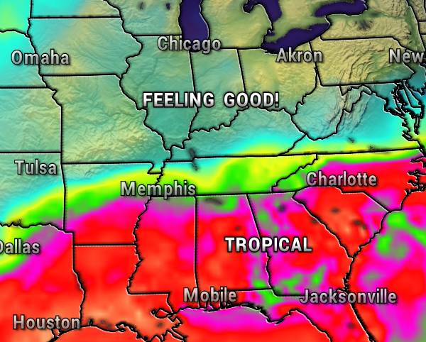
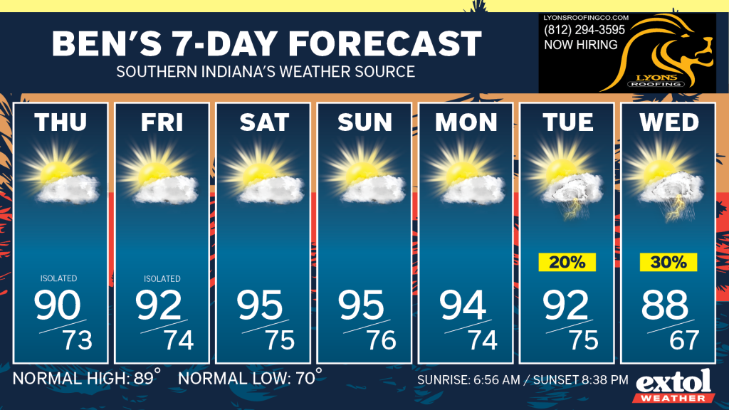
Let’s ignore the really hot weekend on the way, and fast-forward to the good news. The longer range weather models (EURO, GFS, Canadian) are all on board for a fall-like cool-down by the middle/end of next week.
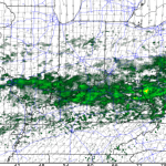
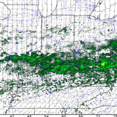
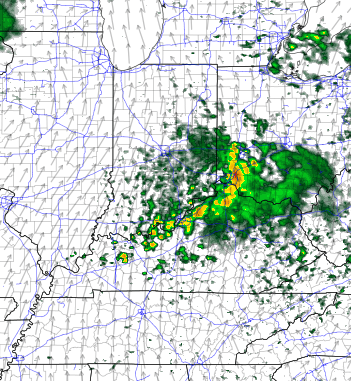
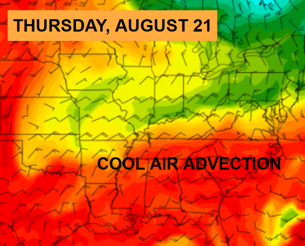
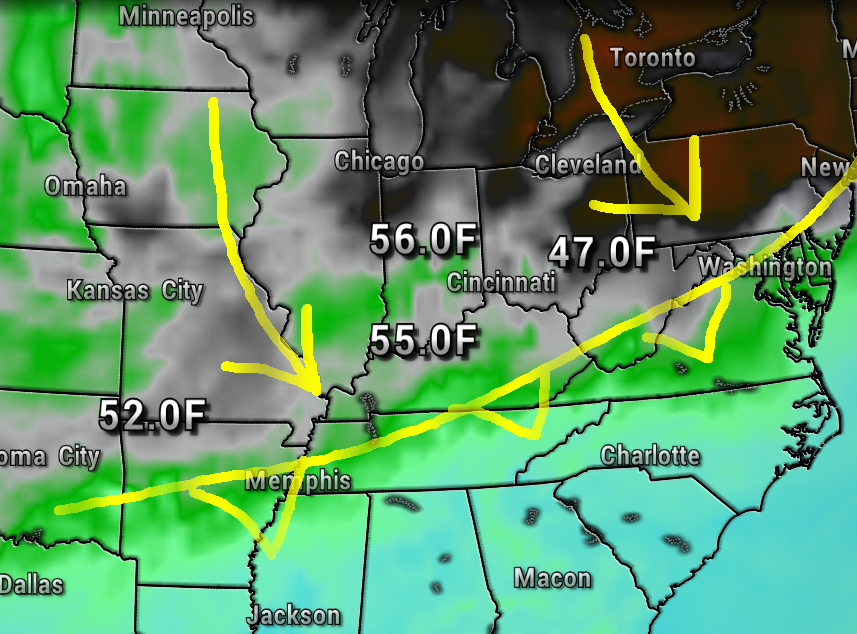
The maps below show the CAA, otherwise known as Cool Air Advection (Cold Air Advection in colder seasons) next Thursday.
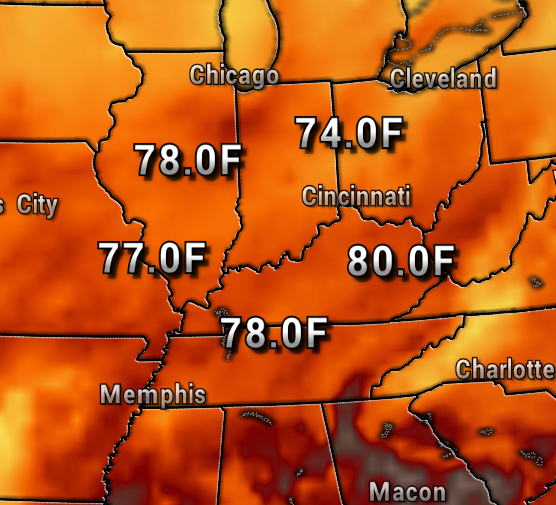
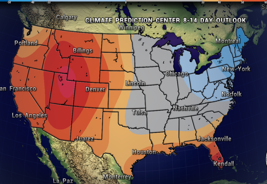
The Climate Prediction Center is on board with above average chances of below normal temperatures as well.
Of course, with the cooler temperatures we would also like drier air and lower humidity. It looks like this too will happen with dropping dewpoints. Thanks to a northeast flow from the Great Lakes.

So, while this weekend will be a scorcher, we’ll at least have something to look forward to. There’s also a decent chance we could get a reinforcing shot of cooler air to finish off the month of August. Stay tuned!
- Meteorologist Ben Peine


