If you love October weather, we’ve got a treat for you after today’s rainfall.
Let’s start with the rain, then we’ll talk temps in the 40s!
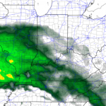
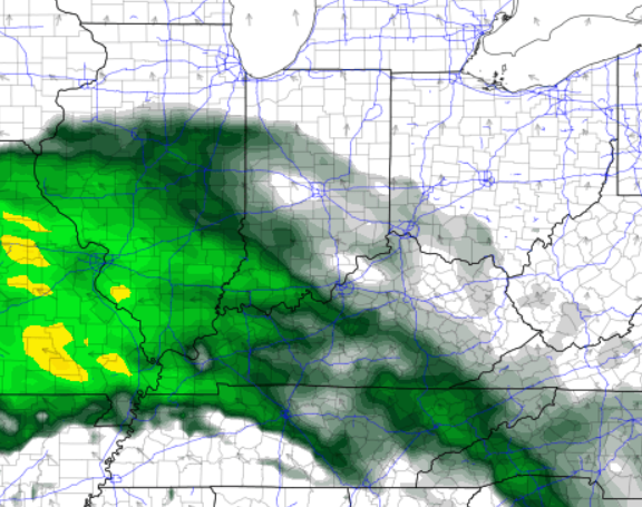
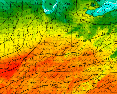
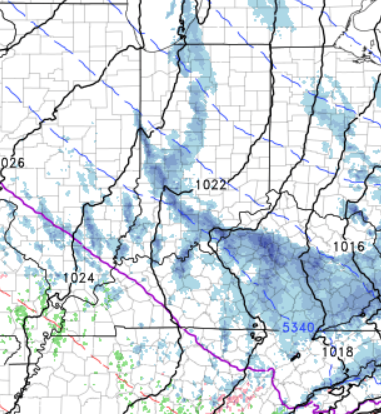
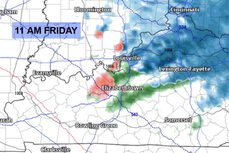
A low-pressure system and a cold front are moving through with copious amounts of rain, adding up to 1-3″ totals by this evening. Localized flooding spots possible, but no severe weather is expected. Notice on the maps below, Indiana begins to dry out first mid-late afternoon, although a little thin last batch of showers will be possible early evening.
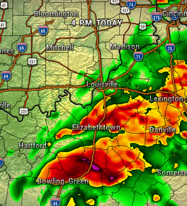
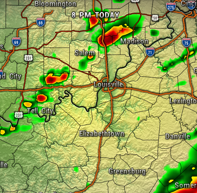
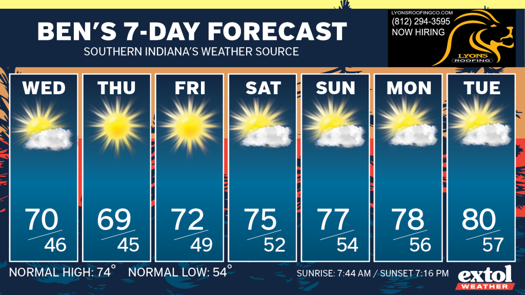
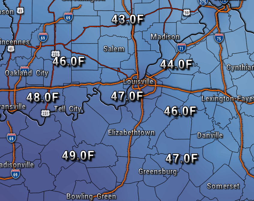
We’ll gradually clear out overnight with low temperatures in the 50s. We’ll really need the warmer jacket Thursday through Saturday mornings with lows dropping to the 40s!

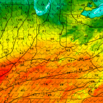
High temperatures will top out in the 60s and lower 70s through Friday, then start to trend just a little bit warmer through this weekend. Dew points (measure of moisture) will be very low, so the humidity will be nice and low as well. It’s just a great combination for the rest of this week and terrific weather for the rest of Harvest Homecoming!

So, yes, temperatures in the 40s are on the way, but what about 30s? Well, the just GFS weather model keeps hinting that later this month, perhaps around the 22nd, we’ll get some colder nights.
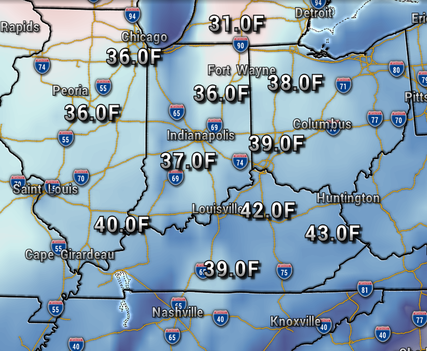
The rain today is certainly helpful versus the drought conditions for much of our area. Enjoy the more fall-like, “Octobery” feel for the rest of this week! – Meteorologist Ben Peine
