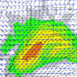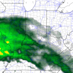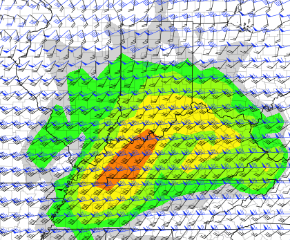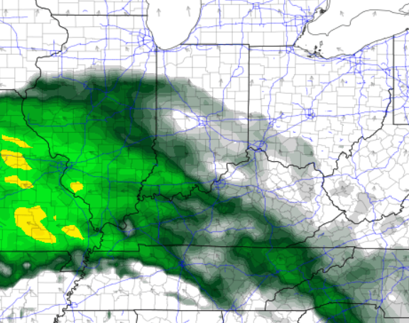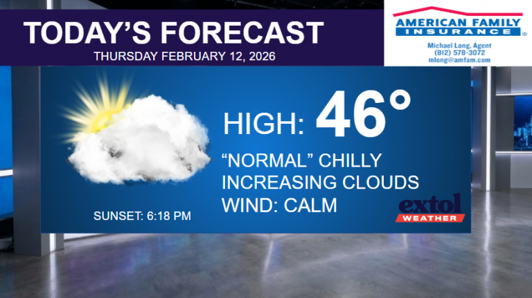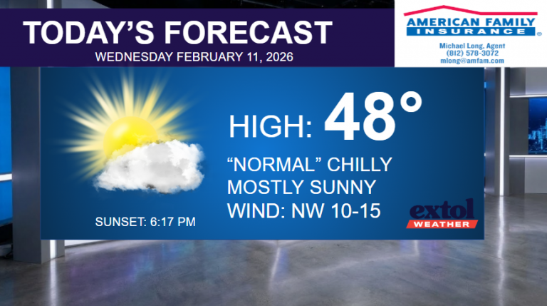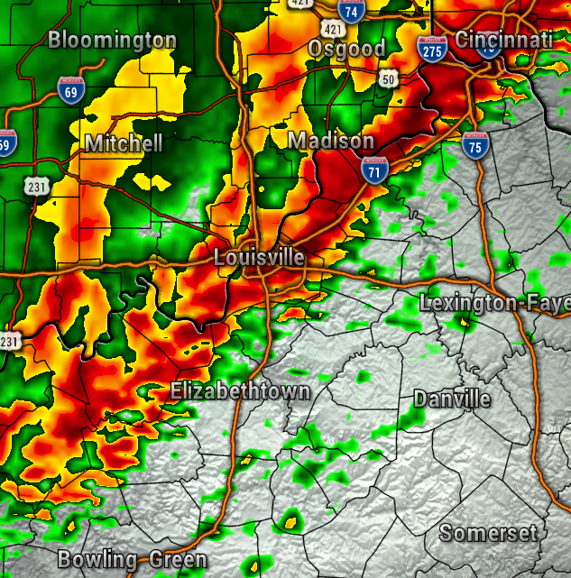
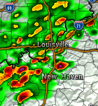
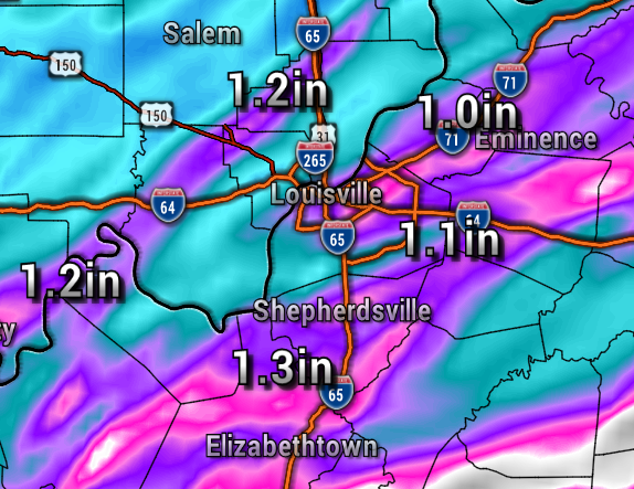
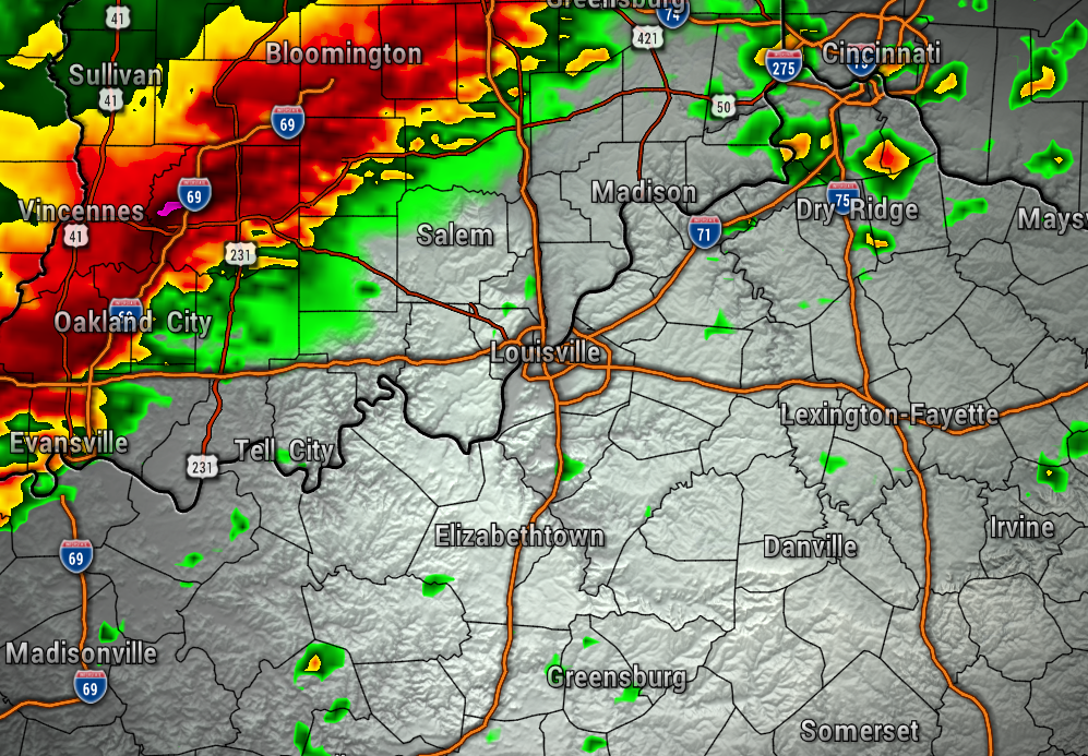
After many Flash Flood Warnings Thursday night, additional steady and at times heavy rain will be moving through Friday afternoon and Friday evening. The stationary front is expected to jog north this afternoon, spreading this rain back into Southern Indiana. The maps below shows the Future Radar this afternoon, and the additional rainfall totals possibly through 11 PM tonight. Continue to watch for high water, and flooding around rivers, creeks, and streams.
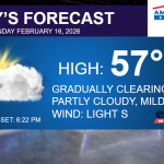
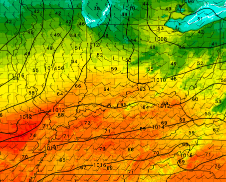
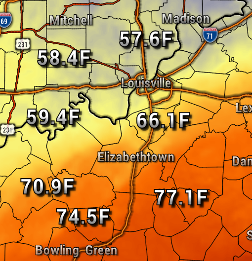
With the stationary front right over our region, cooler temperatures can be expected the farther north you, milder to the south. In general, many areas will be in the 60s in Indiana, 70s in Kentucky this afternoon.
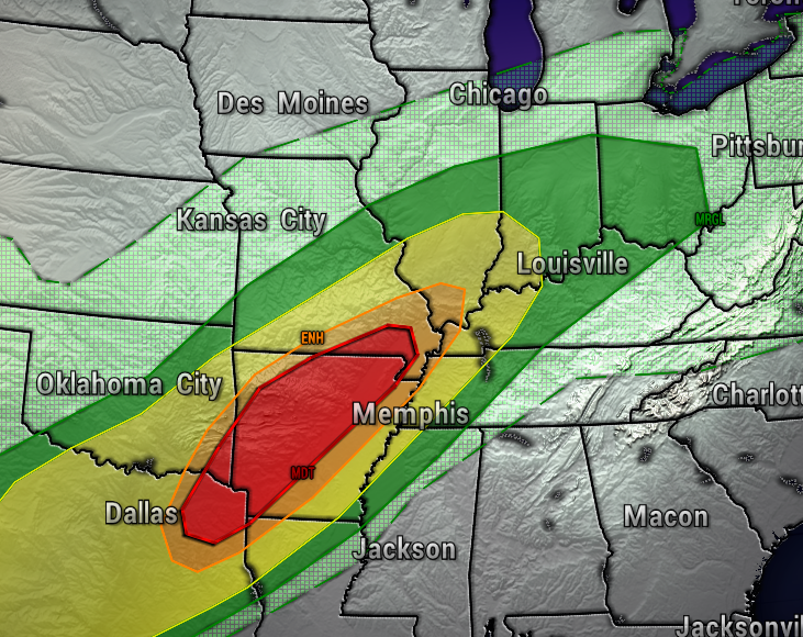
The severe weather threat is low for all areas Friday, staying mainly to the southwest.
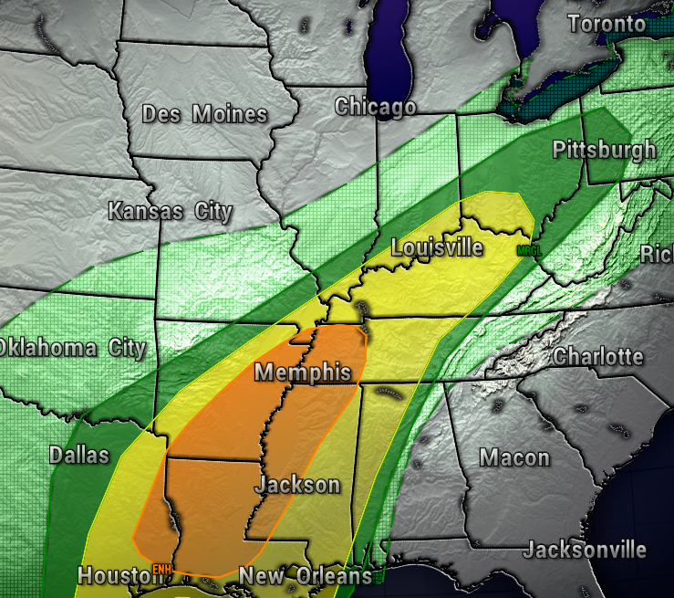
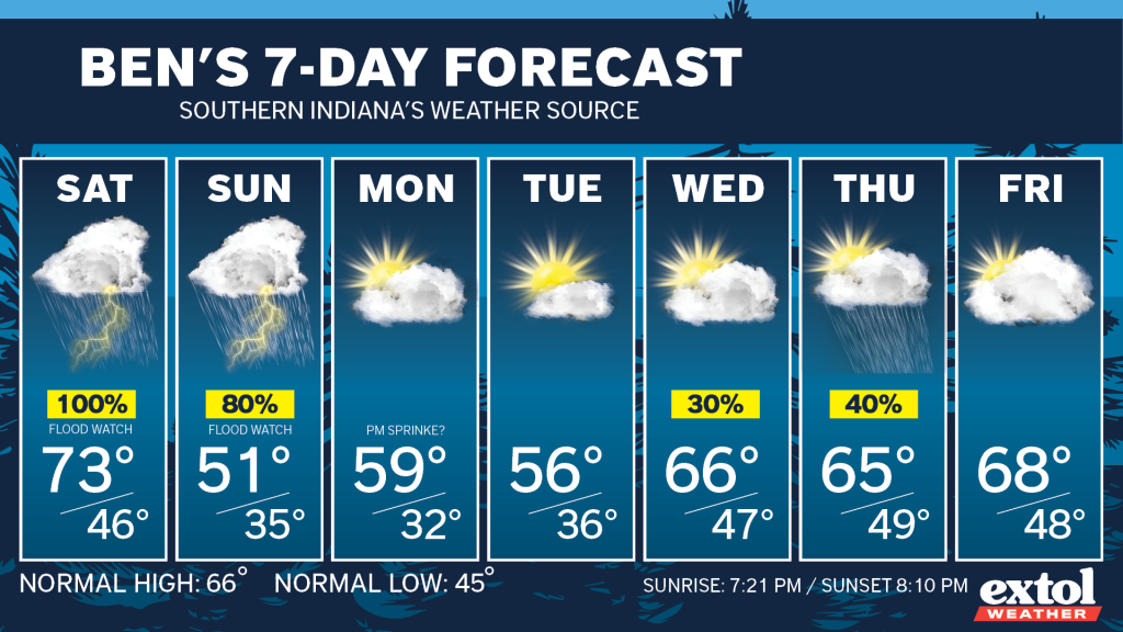
We could see a brief break in the rainfall Saturday morning, before heavy rain and thunderstorms return. A few strong to severe storms will be possible, as we are under Level 2, out of 5, severe weather risk from the Storm Prediction Center Saturday. The maps below show Saturday morning, then afternoon, and the severe risk.

Added on to what we have already received, our area could pick up additional inches of rainfall. Be prepared for additional flooding, especially by late Saturday. Below is added rainfall by late Sunday.
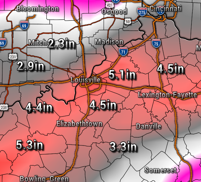
We’ll FINALLY be drying out Sunday night.
Next week will feature cooler weather, with the possibly of near freezing temperatures Monday and Tuesday nights. We may need to protect sensitive plants.
Showers could return next Wednesday into Thursday, but not nearly as heavy.
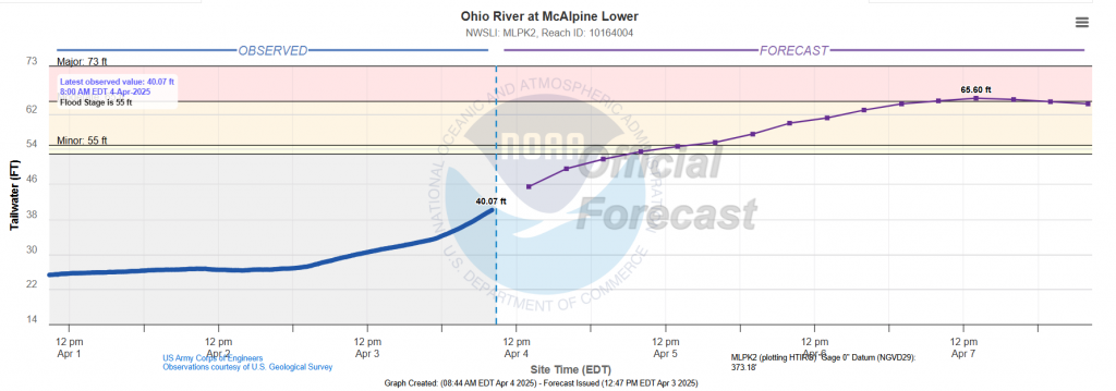
The Ohio River is forecast to go into Moderate flood stage Monday. This could impacts on viewing area and the Waterfront Lawn for Thunder Over Louisville. For more flood information, you can go to water.noaa.gov
- Stay safe! – Meteorologist Ben Peine

