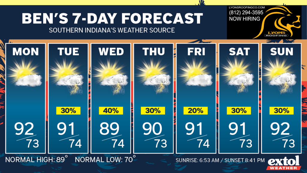
We’re not seeing any break in our hot August weather pattern with highs in upper 80s and low 90s all week. Low temperatures will stay warm in the 70s. A bit above normal for this time of year.
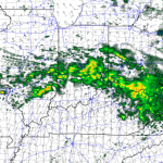
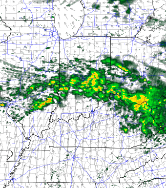
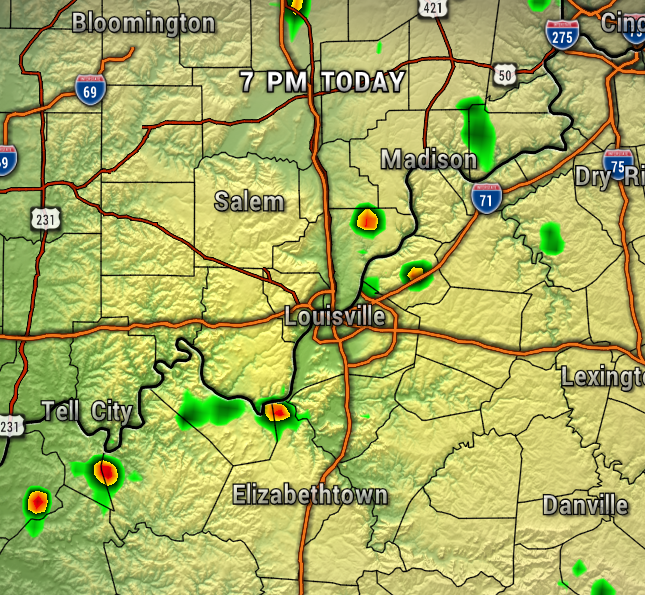
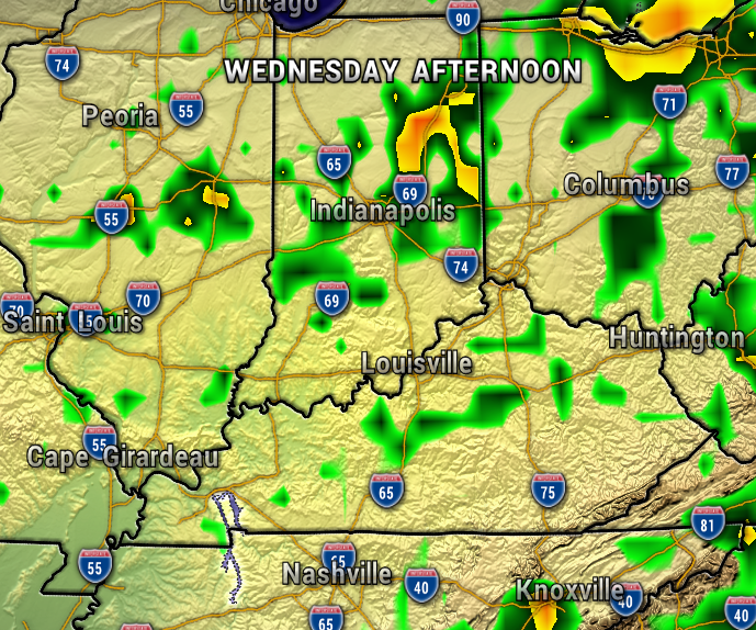
The chance of any pop-up afternoon is very low through Monday with most areas staying hot and dry. The map below shows the isolated nature of this potential pop-up activity.
By Tuesday and Wednesday, the upper-level ridge will move east as a front draws closer to the region, and this will allow for a better chance of scattered showers and storms. Which, our area could use now, as our yards, gardens, and fields are turning drier and drier.
The humidity will stay pretty high all week as well. With the muggy air in place through at least next week, this will keep a daily chance of a few pop-up showers and storms in the forecast, mainly during the afternoon and early evening.
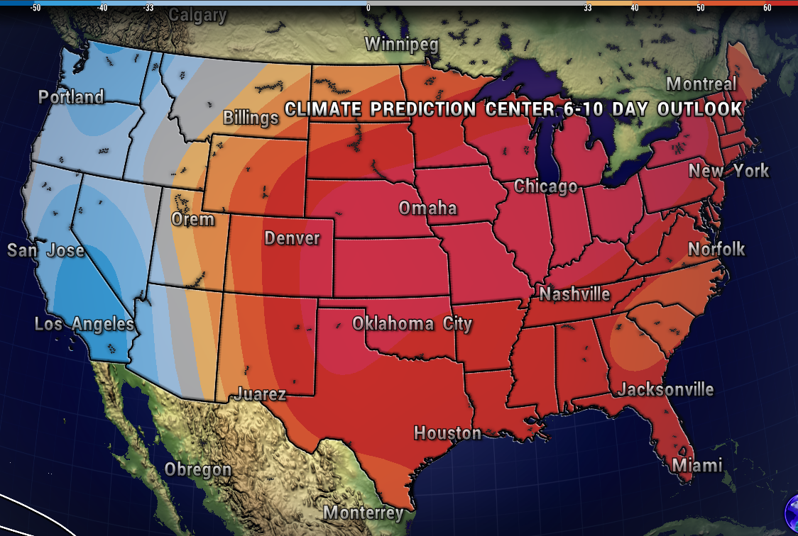
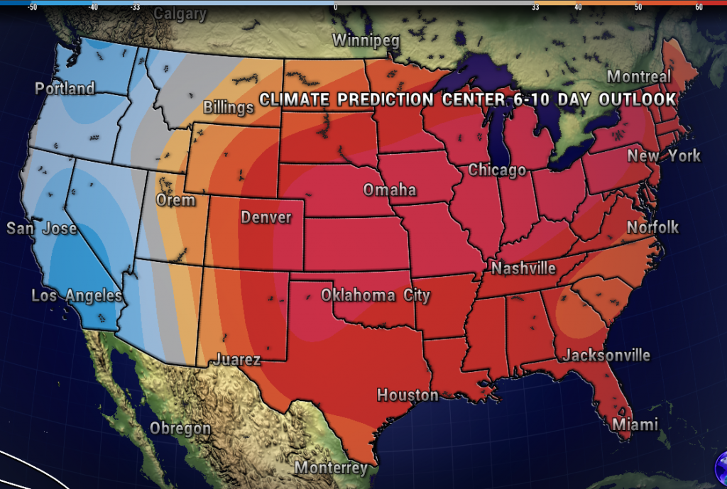
The Climate Prediction Center’s 6-10 Day Outlook keeps much of the United States in an above-normal weather pattern through next week. So, not much hope for relief from the August heat and humidity through the long-range outlook.
Have a great week ahead! -Meteorologist Ben Peine


