#image_title
Excessive rainfall will likely lead to periods of flash flooding and significant flooding for our area rivers, creeks, streams and low-lying areas through Sunday. A Flood Watch is in effect through 8 AM Sunday morning, and could be extended. If you live in a flood prone area, be prepared to seek higher ground.
From the National Weather Service:
 "IMPACTS...Excessive runoff may result in flooding of rivers,
  creeks, streams, and other low-lying and flood-prone locations.
  Creeks and streams may rise out of their banks. Extensive street
  flooding and flooding of creeks and rivers are possible.

* ADDITIONAL DETAILS...
  - This is expected to be a high end event with life-threatening
    flooding. Major flash flooding and river flooding will be
    possible. Complete any flooding preparation today.
  - http://www.weather.gov/safety/flood"
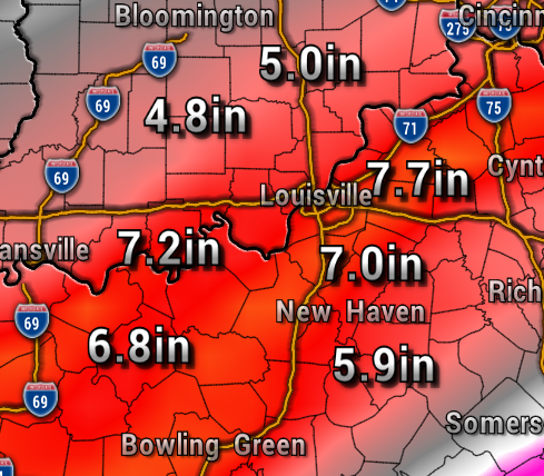
Rainfall totals in addition to the 1-2″ we picked up Wednesday night could add up to over 7″ in many locations.
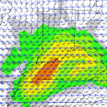
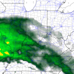
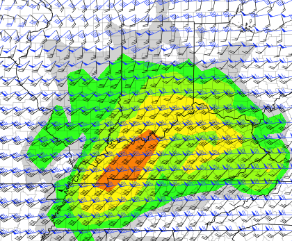
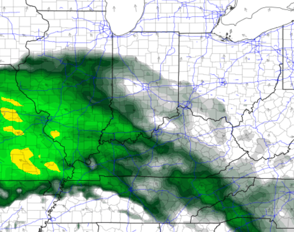
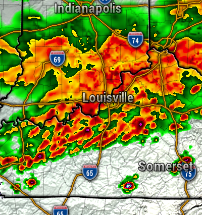
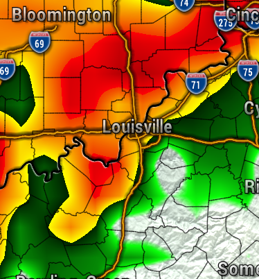
Plan on waves of showers and storms, with few substantial dry periods now through Sunday. The maps below show Friday and Saturday afternoon rain.

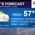
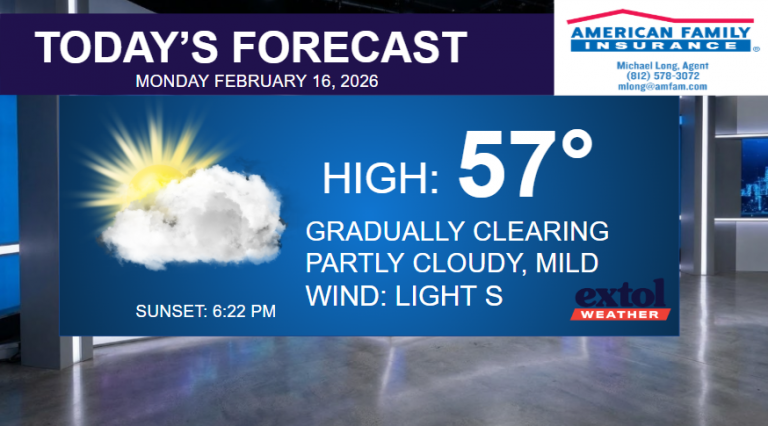
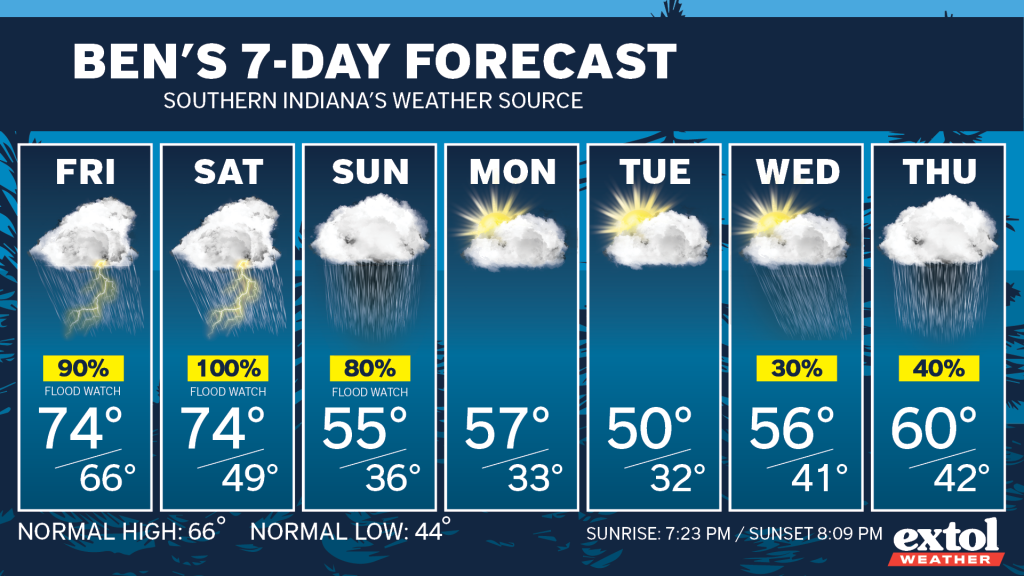
After all of this rain, drier and chillier weather will arrive Monday. Highs will be in the 50s for much of next week. We could have low temperatures near freezing Monday and Tuesday nights – be careful planting!
- Meteorologist Ben Peine

