#image_title
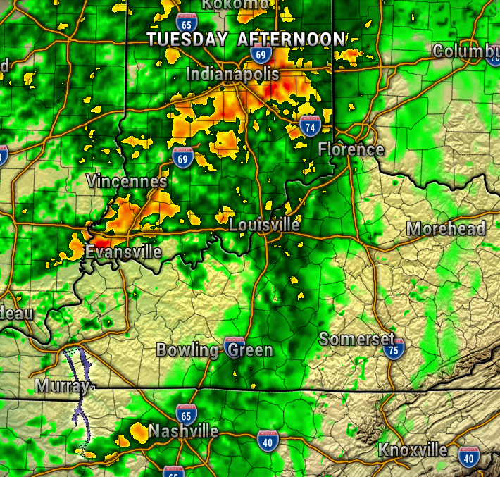
A stalled-out front, otherwise known as a stationary front, will bring plentiful periods of heavy rain Wednesday though Saturday. We’ll also need to watch out for another round of strong to severe storms late Wednesday.
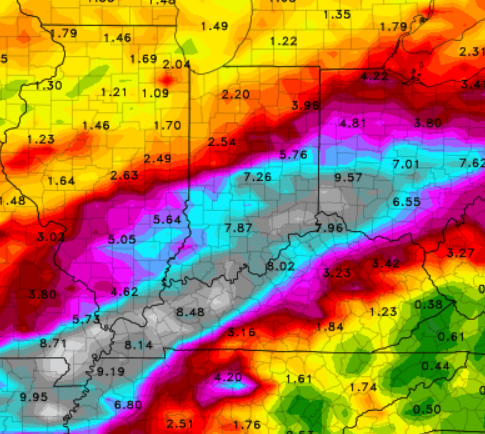
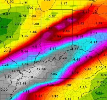
The EURO and GFS weather models have been consistently calling for inches of rainfall across the Ohio Valley and Southern Indiana. The rainfall totals below are adding up all of the precipitation Sunday, March 30th, through Sunday, April 6th.

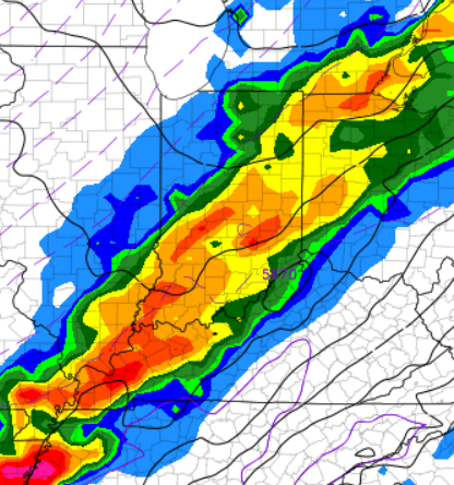
Showers will likely begin Wednesday, and then turn heavier with strong storms possible late Wednesday night.
Stationary fronts will wobble north and south, and areas of low-pressure will bring repeated rounds of rain Wednesday through Saturday. There will likely be some periods of dry time, but be prepared for the potential of flooding this week.
-Meterologist Ben Peine


