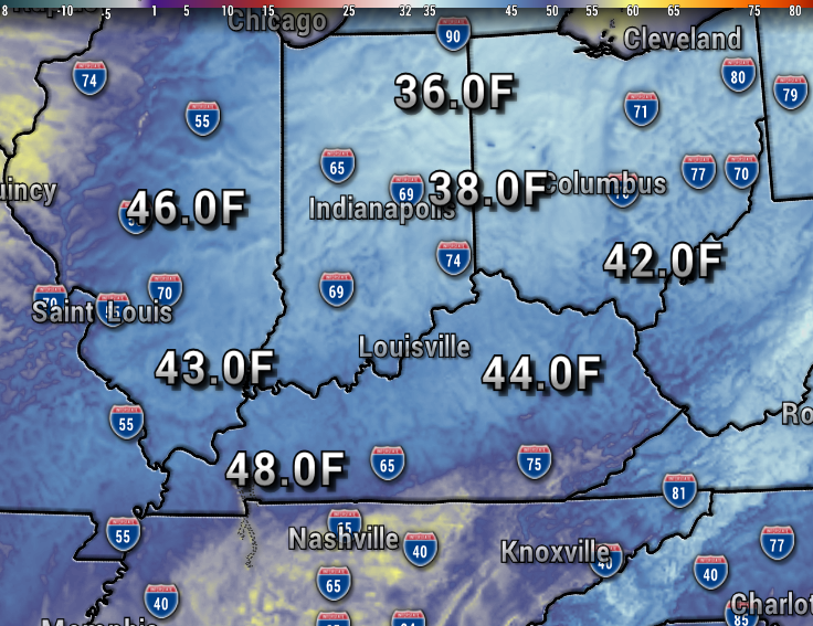
Low temperatures tonight will fall to the 40s across the region, with perhaps a few outlying areas dipping down to the upper 30s. This will make it the chilliest of the season so far, and the coldest since mid-April.

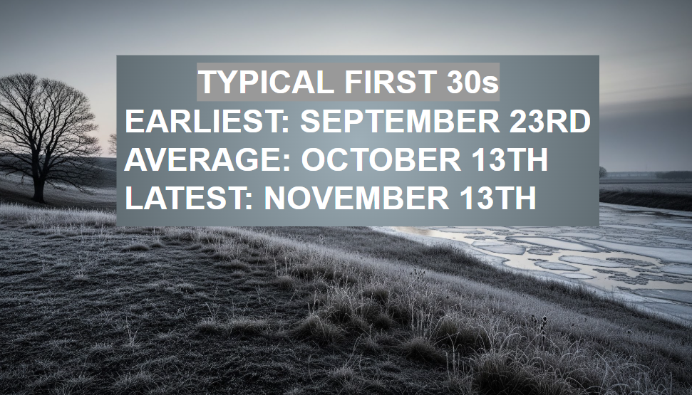
Typically our area will get down to the 30s by October 13th. The earliest was September 23rd, and the latest November 13th.
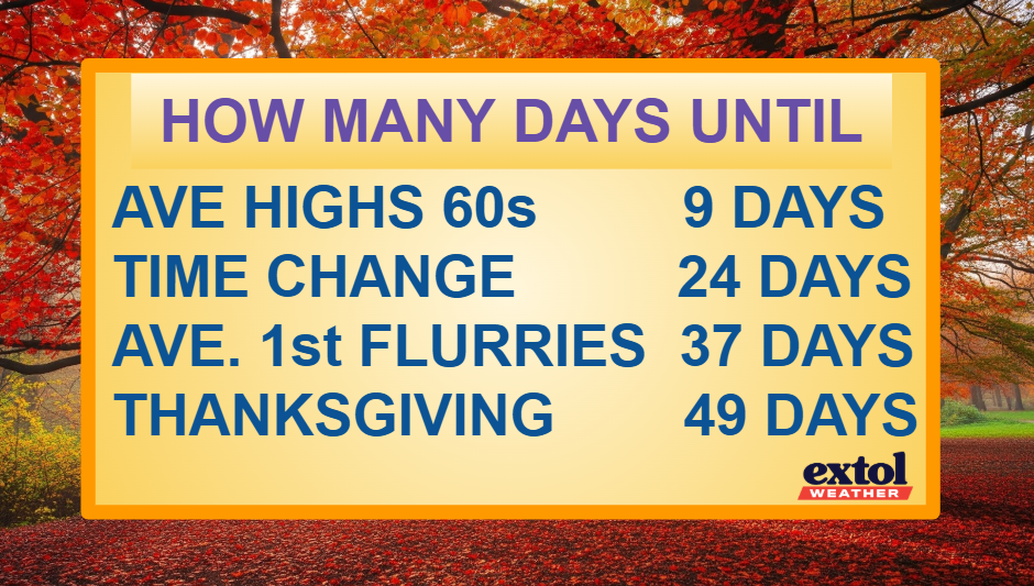
Our countdown continues to other fall firsts. Average highs drop to the 60s in just 9 days. We will fall back an hour with 5:42 pm sunsets in just 24 days. Our average first flurries are in mid-November, just 37 days away.
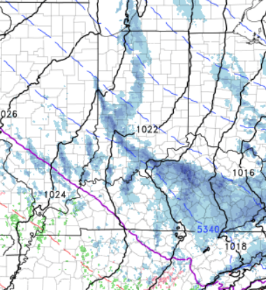
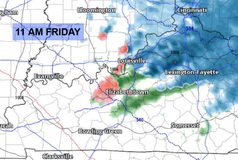
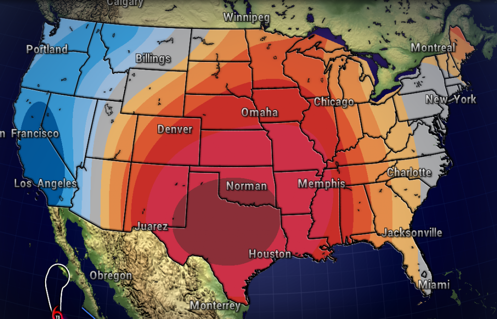
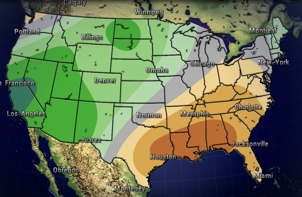
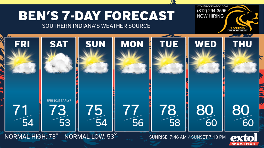
The Climate Prediction Center’s 6-10 Day Outlook has our area on the edge of a region of above normal temperatures. Average highs are in the low 70s now, and we’ll have temperatures going back above normal next week. Our pattern also is back to mostly dry conditions through much of next week, with the wetter pattern out west for now.
So, enjoy more beautiful October weather while it lasts! -Meteorologist Ben Peine


