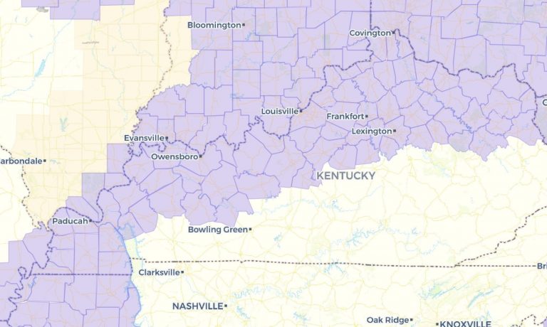
We have technically made it past what is typically the hottest part of summer as our average highs have gone from 89° to 88°. With that said, we can still have some hot spells through September, and even sometimes into October. The latest we’ve ever hit 90° or above is October 15th, 1897.
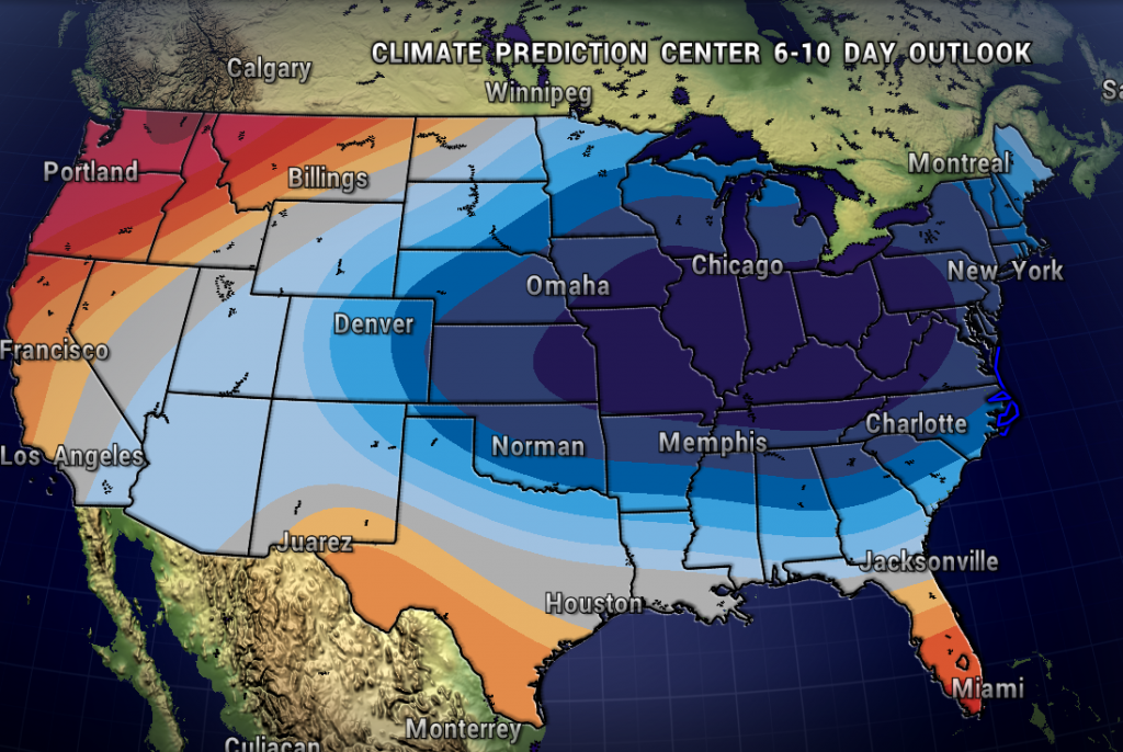
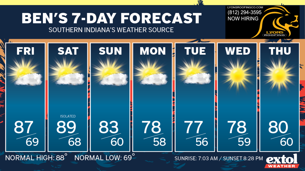
However, let’s talk about a cool spell on the way. Take a look at the Climate Prediction Center’s 6-10 Day Outlook showing a high confidence in below normal temperatures for next week. Temperatures will likely be running about 10° below normal Monday through Thursday with highs in the upper 70s! Let’s go!
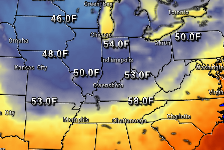
Here’s a peak at the fall-like conditions for next Tuesday with lows in the 50s, and highs in the upper 70s.

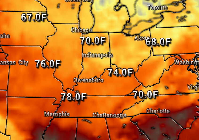
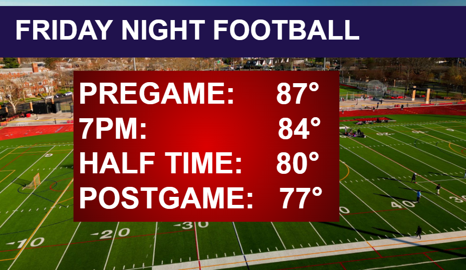
Another sign that autumn is getting closer is Friday Night Football is here! Our first high school football games will be seasonably warm and dry in the 80s.
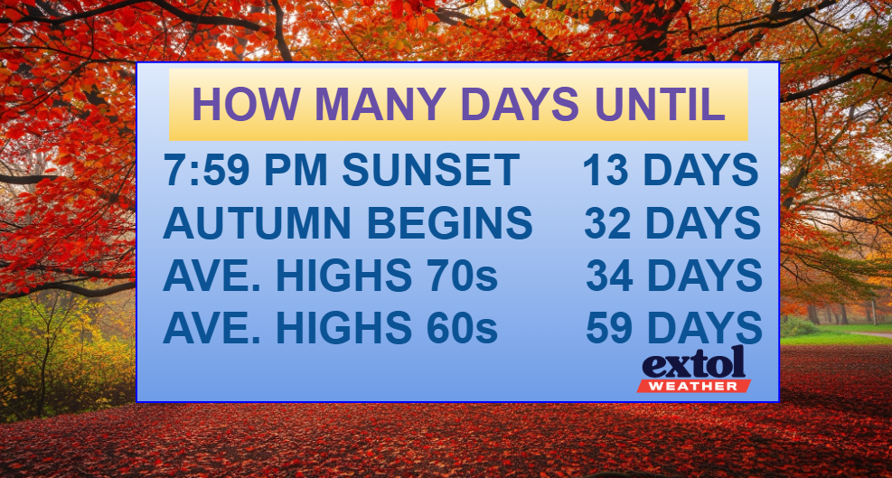
The countdown begins as we get closer to more fall-like happenings.
Our cooler weather pattern combines with mostly dry conditions over the next seven days at least. Our yards and gardens will definitely be drying out.
Have a great rest of your week! -Meteorologist Ben Peine


