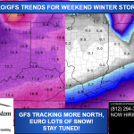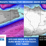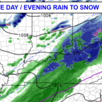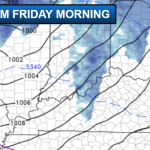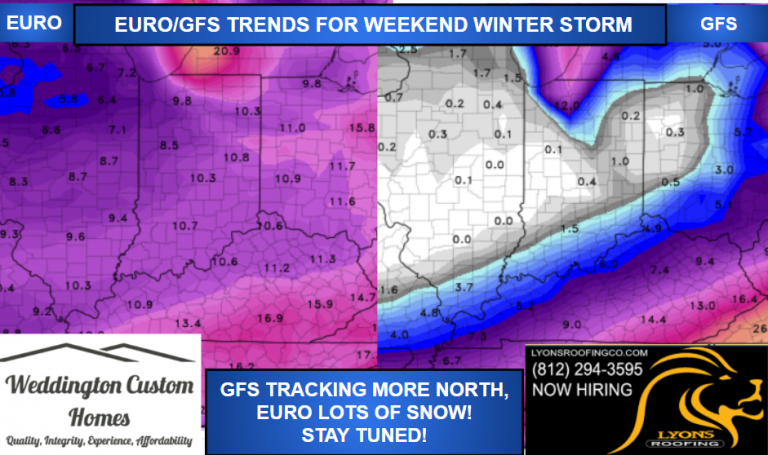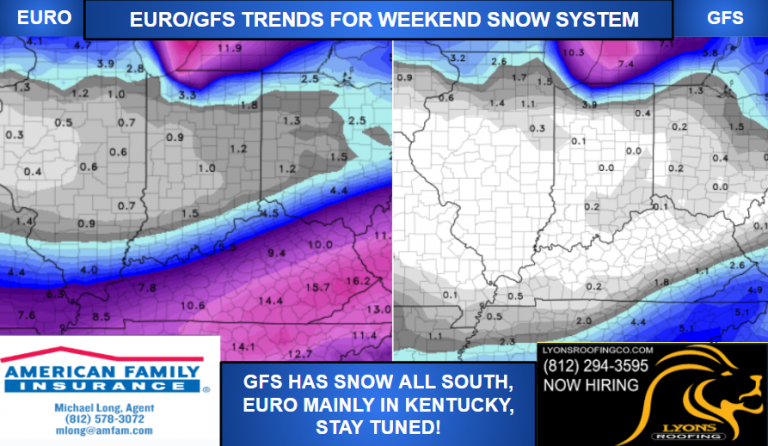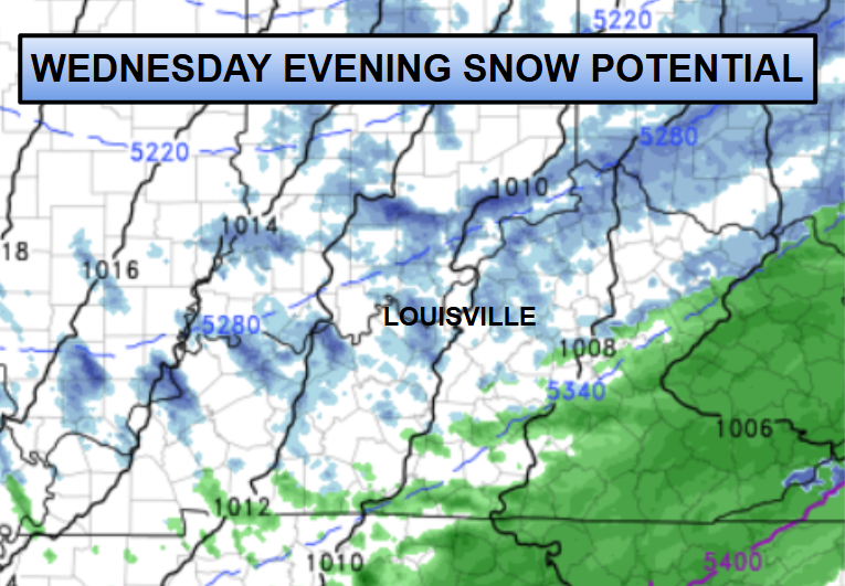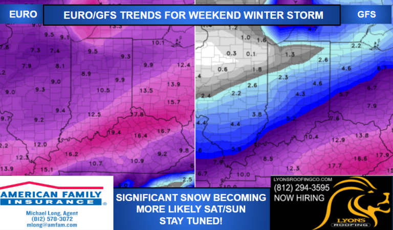
The weather data trends are ramping up our snow potential for Saturday into Sunday. Significant snow amounts will be possible around the region, so it’s not a bad idea to start thinking about winter storm preparations.
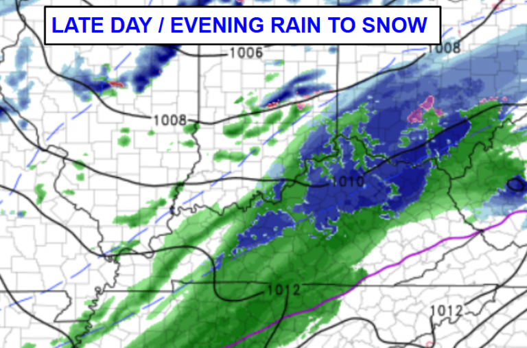
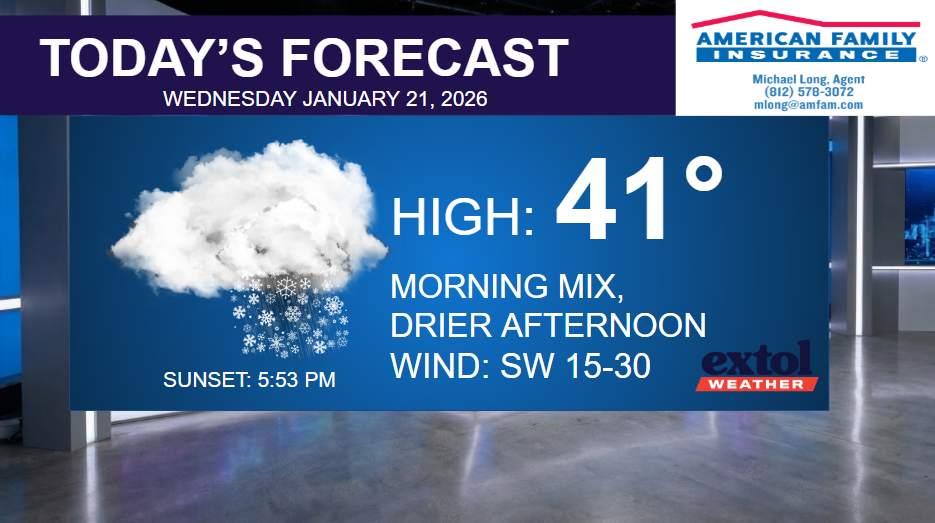
For today, we’ll be trending drier through this afternoon and a little warmer in the lower 40s. Breezy, with southwest winds at 15-30 mph. Clearing and chilly tonight.
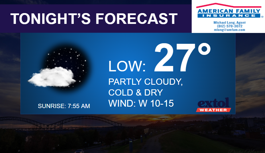
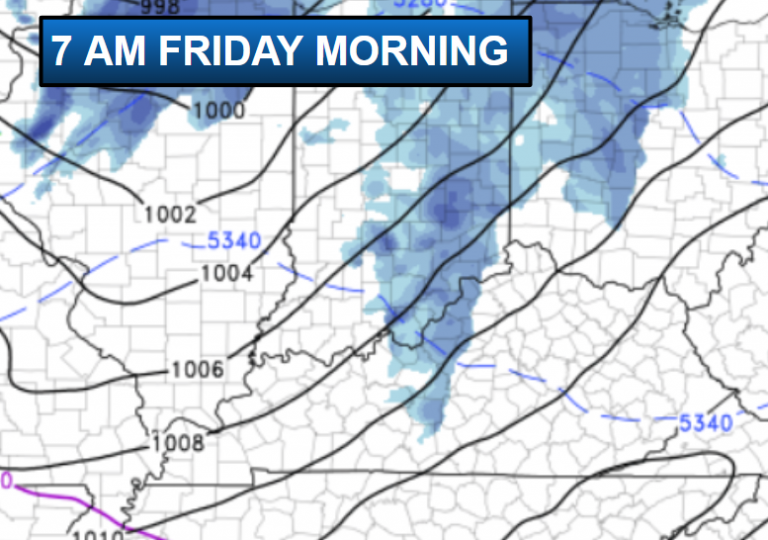
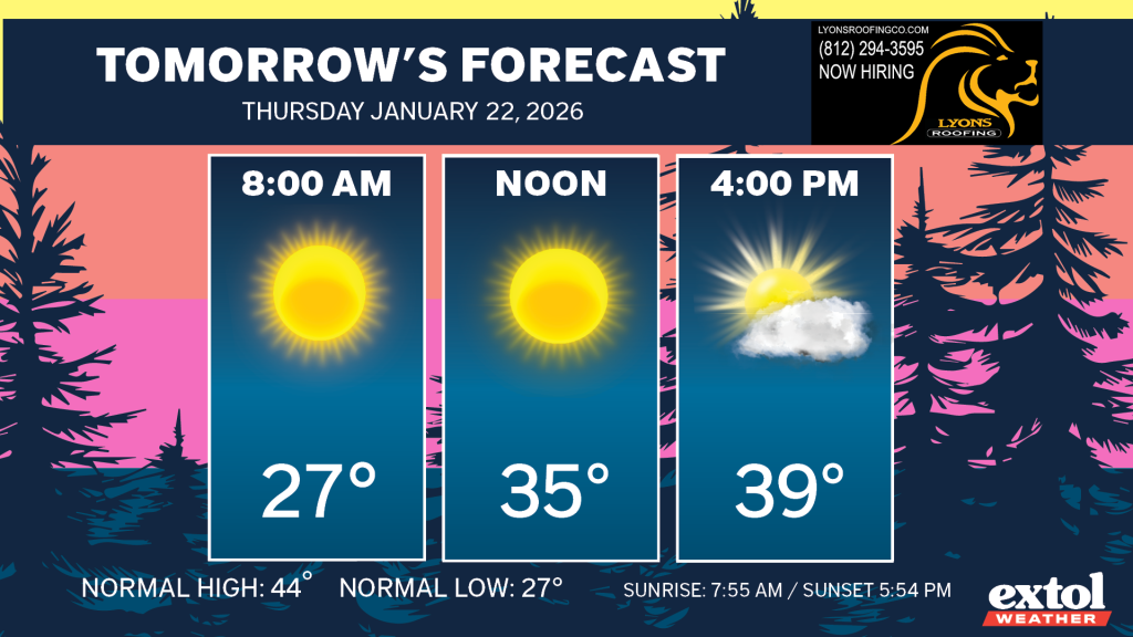
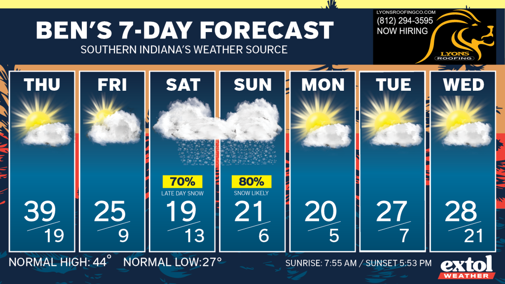
Cold and dry Thursday and Friday, with the arctic air spilling in on Friday.
This will set the stage for a large winter storm to impact the region this weekend. Right now, it looks like it will be snowing late Saturday through Sunday. It’s too early to exactly how much snow and there will likely be a big range in amounts from north to south, with Kentucky seeing the higher totals. Along with the snow, we’ll have extremely cold temperatures.

However much snow we get, will likely be sticking around for a long time with a long-lasting cold pattern.
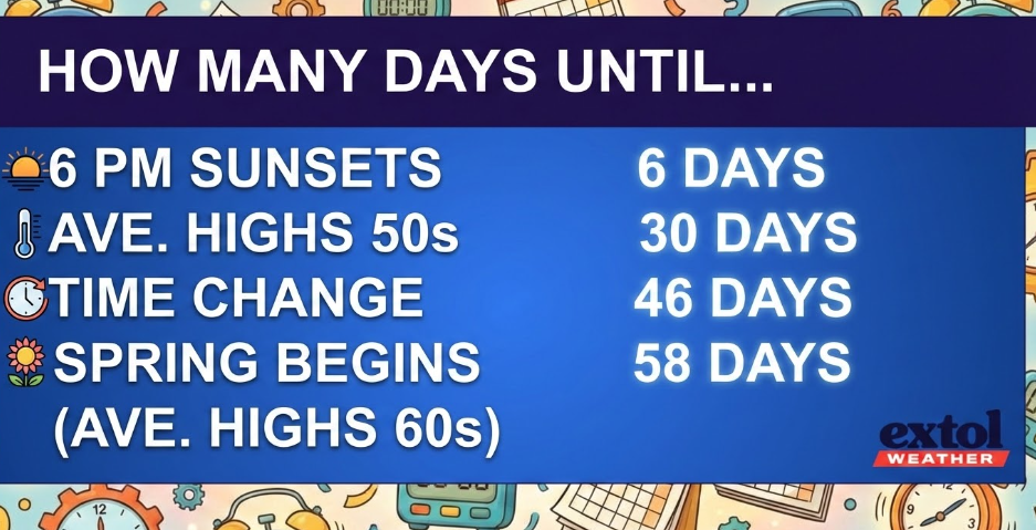
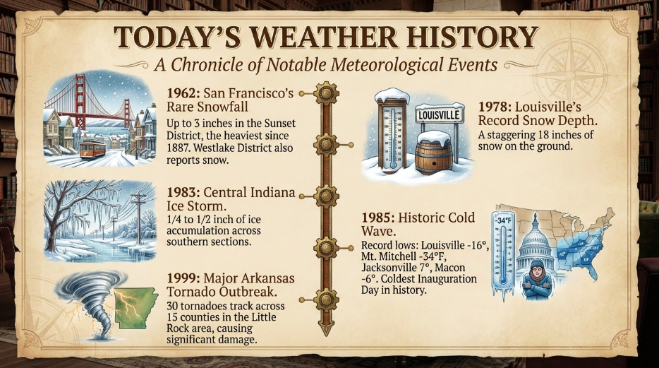
Today’s weather history, countdown, and jokes.
-Meteorologist Ben Peine

