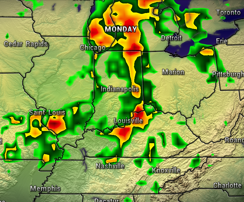
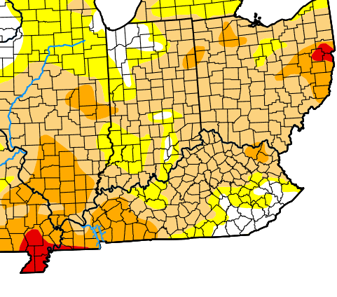
Since most of our region is in a Moderate Drought, it’s nice to see a big weather pattern change for the wetter arriving next week.
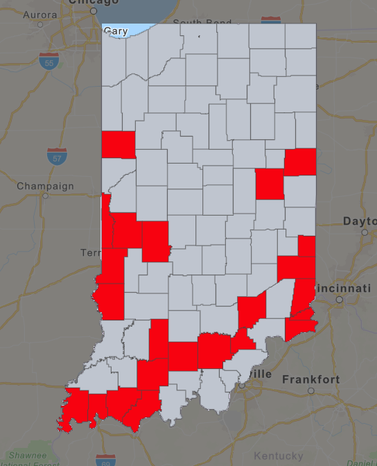
Several counties in Southern Indiana currently have burn bans because the long dry spell we’ve had.
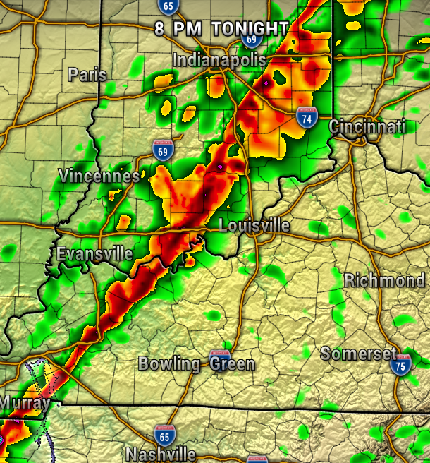
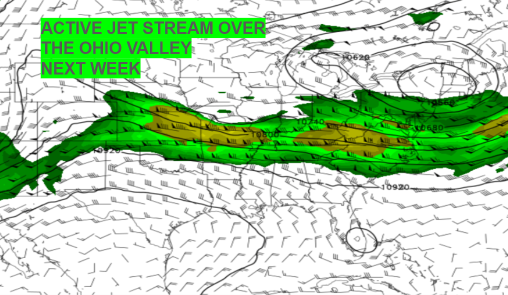
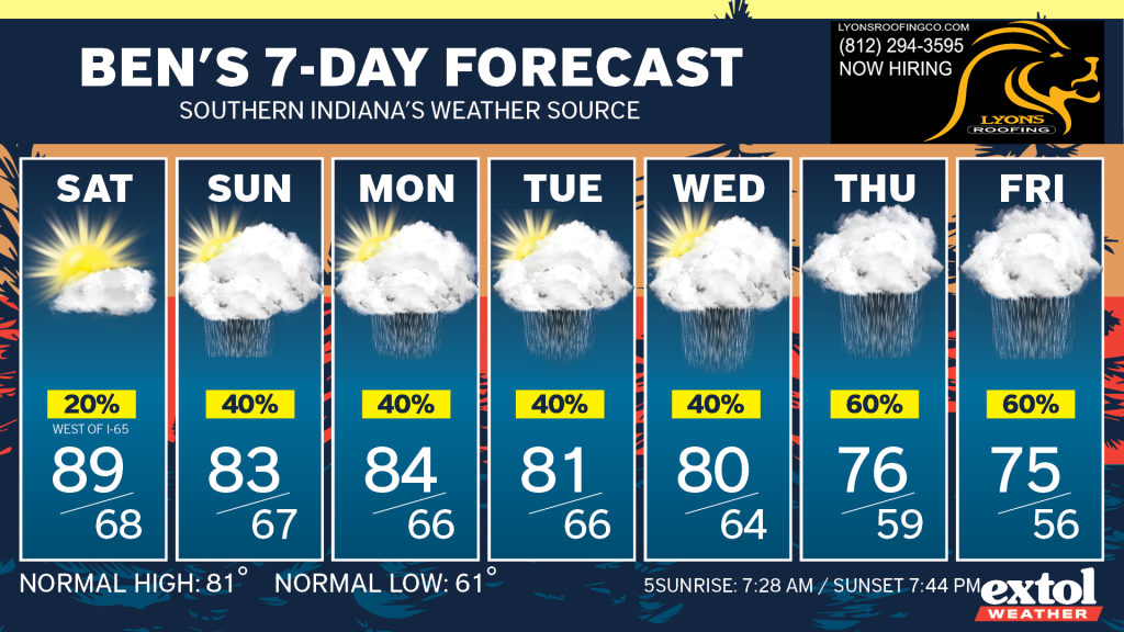
So, let’s flip the script, and show you when the rain will be arriving. The ridge of high pressure that’s been keeping us high and dry will be weakening and moving off to the east, and we’ll start to get a more active jet stream giving us daily disturbances and rounds of showers each day next week.
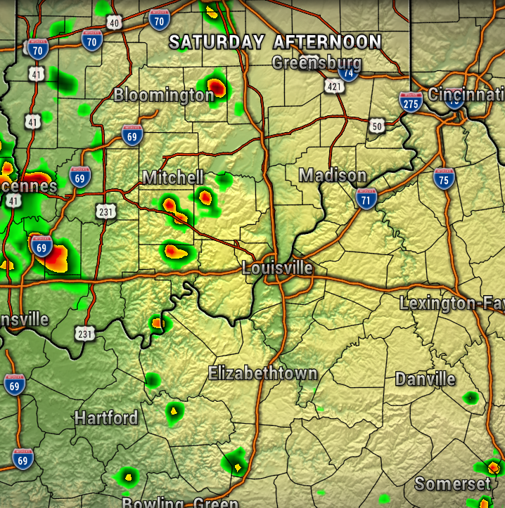
For Saturday, there’s just a very small chance of an isolated showers mainly west of I-65, where there is more moisture to work with. The air is still rather dry east of I-65 Saturday.
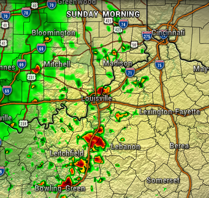
Rain chances and the transition to this wetter pattern begins Sunday. Showers will likely spread over the area by Sunday morning.
As disturbances continue off and on next week, this will set up daily rain chances, and perhaps an inch or two total rainfall by late next week. Just what the doctor ordered to put a dent in the drought. Finally, time to break out the rain gear again.


- Meteorologist Ben Peine


