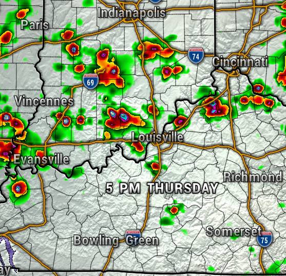
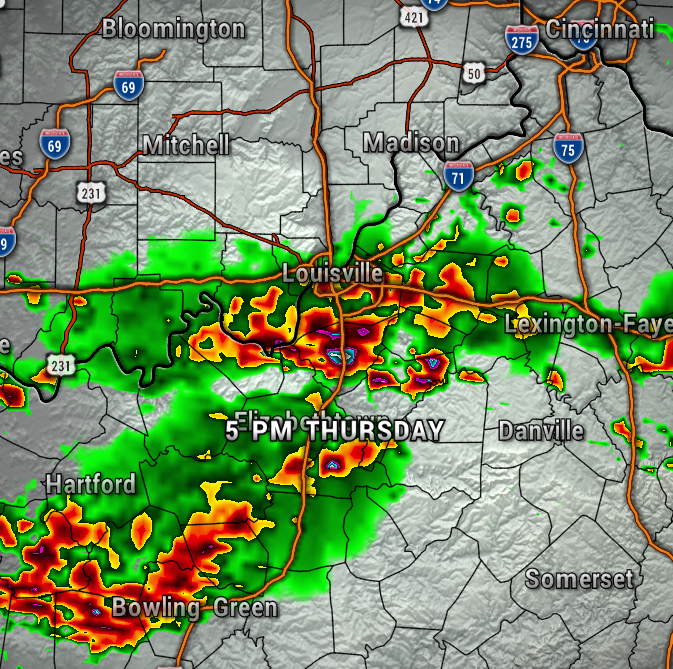
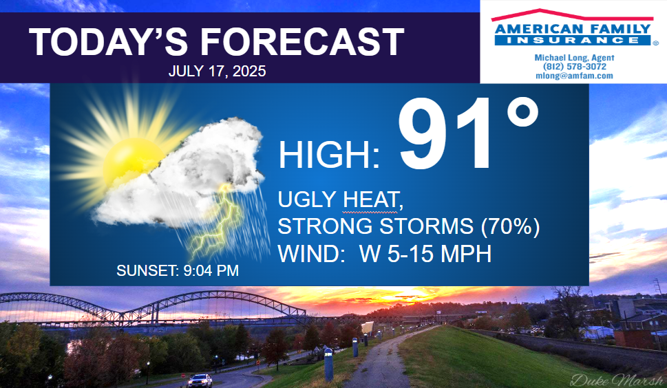
A front will be moving into the region this afternoon, interacting with very muggy conditions, and sparking scattered showers and thunderstorms. Some of these storms could be strong with torrential rainfall, frequent lightning, isolated damaging wind gusts, and localized flooding. Be prepared to head inside later today.
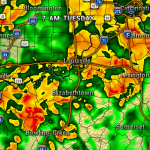
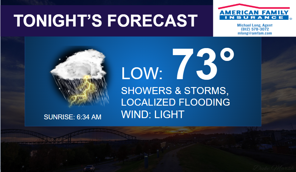
The maps below show the HRRR and NAM 3KM high resolution weather models by late afternoon. The only significant difference is the HRRR develops the storms initially a bit farther north than the 3 KM. Either way, scattered storms are likely for all of our area. The rain/storms will likely continue on and off through the overnight into Friday morning.

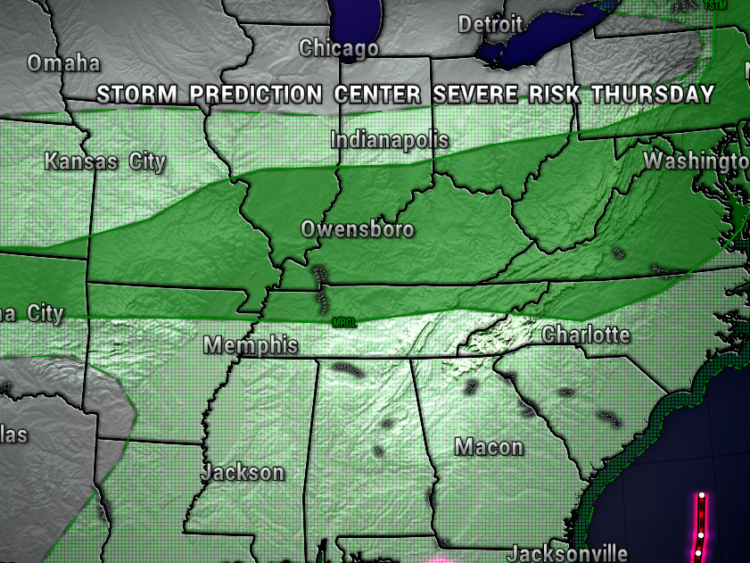
The Storm Prediction Center has our area under a Level 1 out of 5 (Marginal) Risk of Severe Storms today. This is the lowest severe weather risk. So, while the overall severe weather risk is low, a few storms could still be on the strong side.
As mentioned, showers and storms could linger into our Friday morning, but could leave us with a mostly dry Friday afternoon.
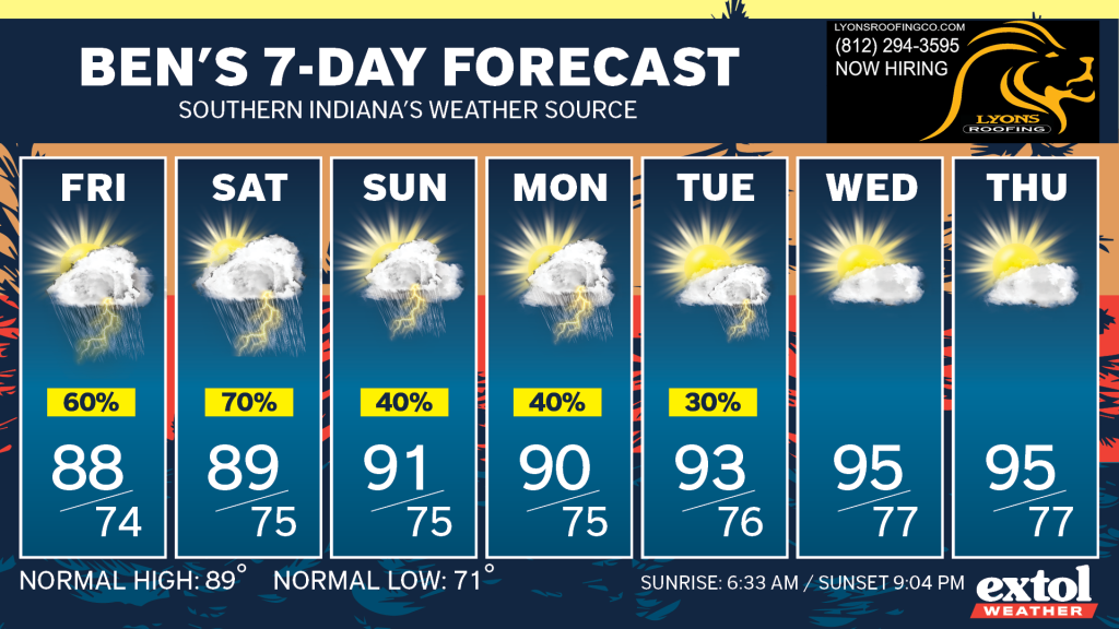
Plan on more muggy weather and daily chances of occasional showers and storms through early next week. This active weather pattern could lead to flooding issues we may have to deal with in the coming days.
Other than the storm chance today, expect ugly heat and humidity, with highs in the lower 90s, and the heat index near 100°. West wind at 5-15 mph. UV Index at a Very High level of 9.

The only change I see to the long-range outlook is for the possibility of hotter and drier conditions by the middle of next week. The relentlessly muggy July continues.
-Meteorologist Ben Peine


