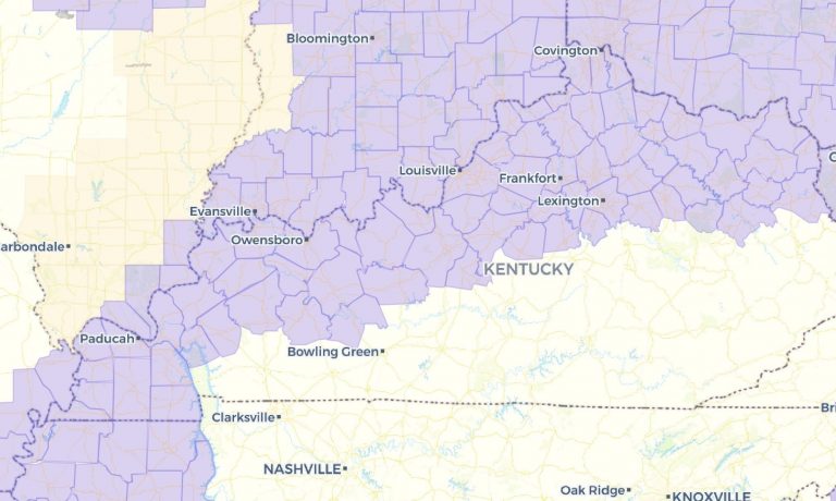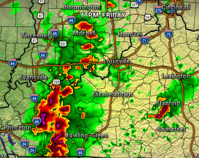
Ahead of the next fall-like front, we’ll have to watch out for the development of strong to severe storms late Friday into Friday evening, especially in Kentucky.
Temperatures will be warming quickly ahead of the front Friday afternoon into the mid-80s, so the air will become a bit unstable. As of now, it looks like the air will be most unstable (fuel for severe storms) south of Louisville. Either way, we’ll need to keep a close eye on it.
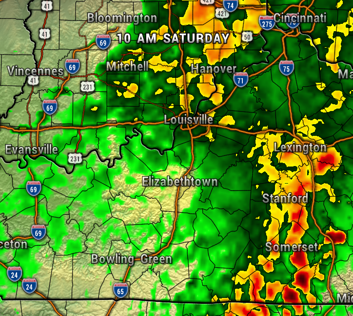
Notice on the maps below, the storm potentially entering our region after 6 PM Friday evening.

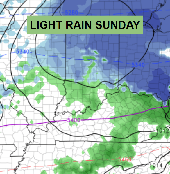
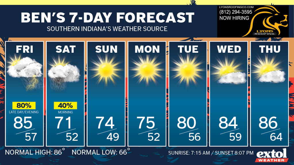
This front will be fairly slow to move through, so plan on rain showers lingering through your Saturday morning, then drying out and much cooler Saturday afternoon. High temperatures will likely only be in the upper 60s and low 70s Saturday afternoon – the coolest since May!
It’s clear sailing after Saturday morning with a dry weather pattern through most of next week. Temperatures will stay in the 70s through Monday, then gradually warming back to the 80s. Some of the long-range data hints at summer-like heat returning by mid-late September.
Have a great weekend! – Meteorologist Ben Peine


