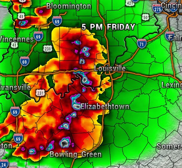
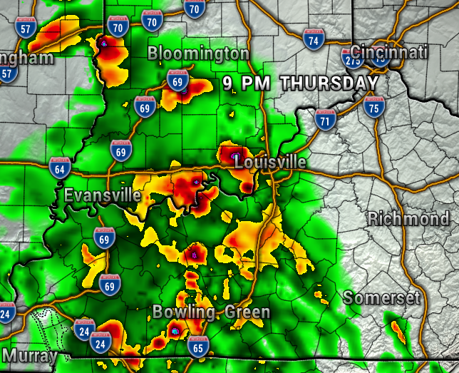
Storms will be possible Thursday evening, but the threat for severe weather will be highest late Friday afternoon and evening. Let’s look at the maps and time it out.
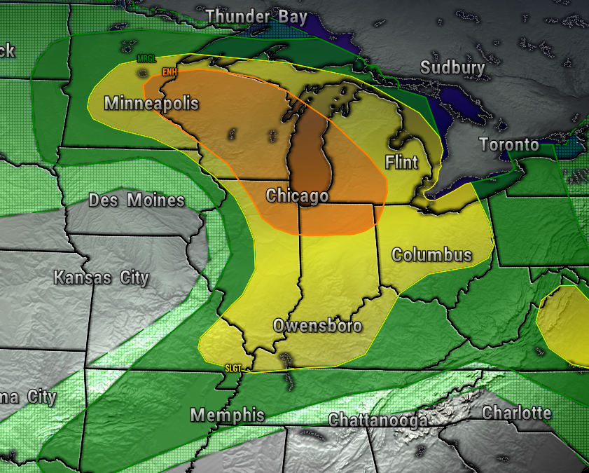
Now, Friday looks like the main event. All of the ingredients are in place with very unstable air (storm fuel), strong winds at the surface and aloft (wind shear), and a front that will kick up the storms. The Storm Prediction Center for now has our area under a Level 3 (Enhance Risk of Severe Storms ), but this could be increase over the next 24-hours.
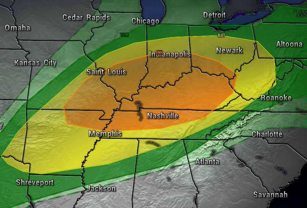
Be prepared for all severe weather threats, including damaging winds in excess of 60 mph, large hail, and strong tornadoes Friday evening. The main threat for now looks like from 5 PM until Midnight. Have your severe weather plan in place and be prepared for watches and warning late Friday.
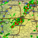
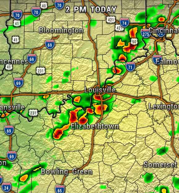
Some of the high resolution weather model data has the potential for supercells developing late Friday afternoon, ahead of a squall-line of severe storms which would come through later in the evening (map below). So, a couple rounds of strong to severe storms is possible. If a warning is issued, seek shelter immediately in the lower level of your home, away from doors and windows.
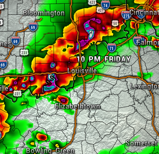
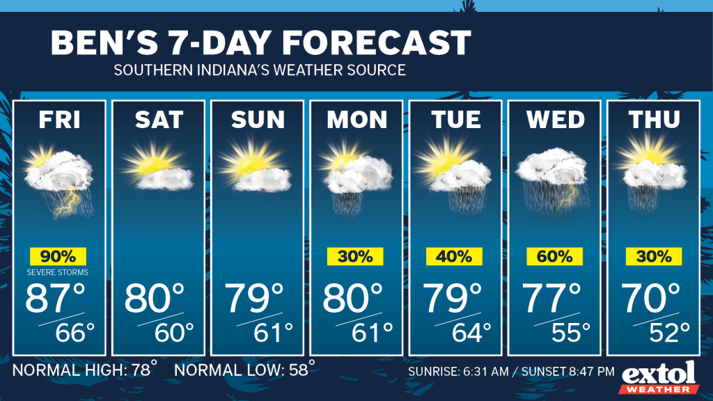
The severe storm threat will diminish after midnight, and the rain will move out before sunrise Saturday. Thankfully, this will leave us will a seasonably warm and dry weekend. Unsettled weather is likely to return next week with several rain chances.
- Have a good Thursday! – Meteorologist Ben Peine


