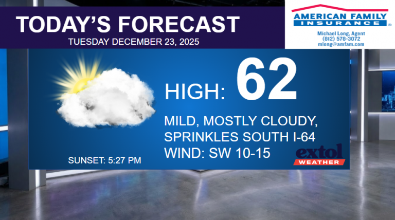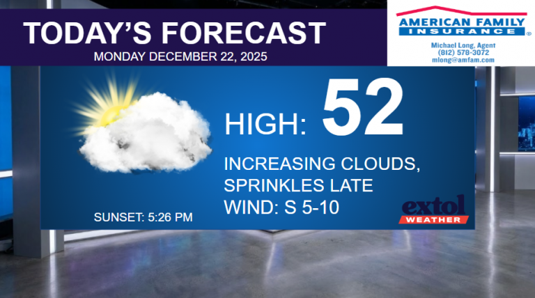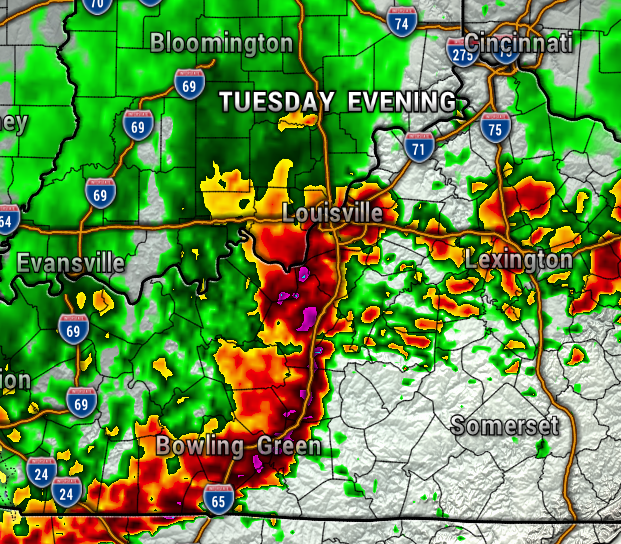
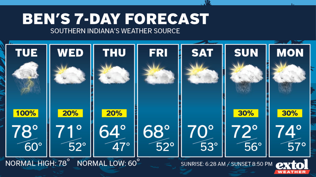
The threat of severe storms will be ramping back up for Indiana and Kentucky Tuesday.
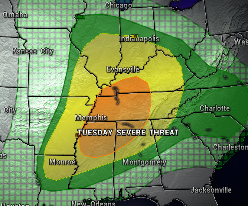
The Storm Prediction Center currently has our area under a Level 2 Risk of Severe Storms (Slight Risk of Severe Storms), with an Level 3 (Enhanced Risk) just to our south. This severe risk could increase later today.
Unfortunately, all hazards will be in play, with damaging straight-line wind, large hail, and tornadoes possible. Once again, we’ll need to be extra weather aware and prepared, especially Tuesday afternoon and evening.
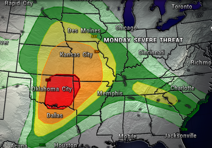
Today’s risk of severe weather is off the west, especially over Oklahoma.
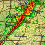
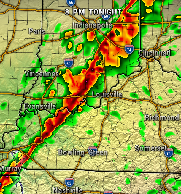
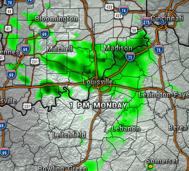
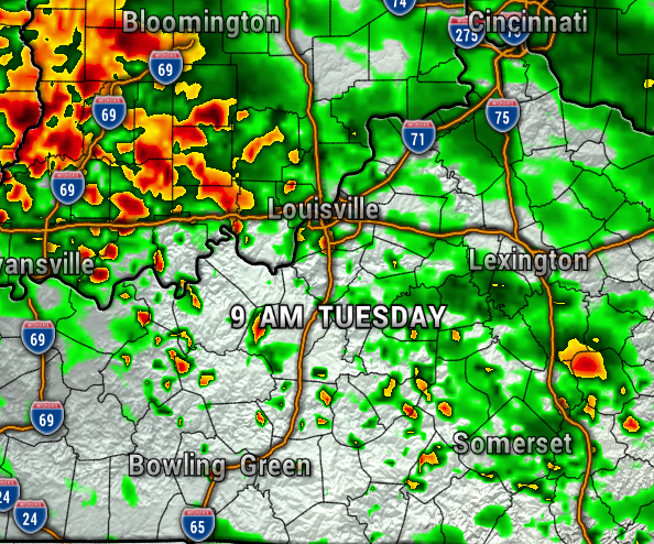
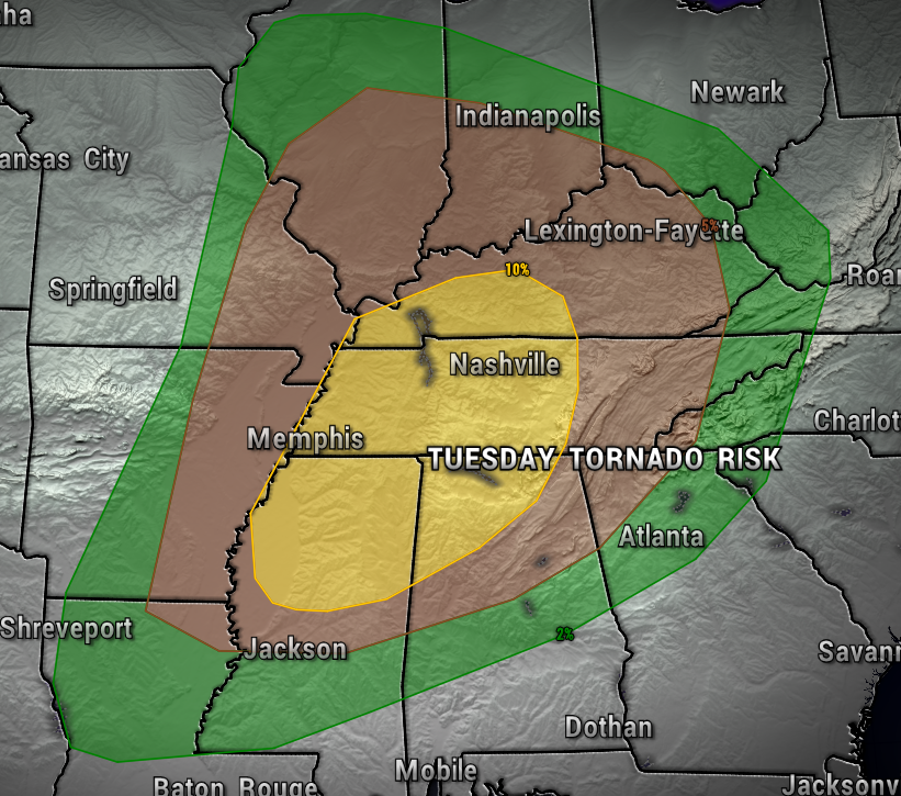
The severe storms could come in a couple waves, one in the early afternoon and another during the late afternoon/early evening. For now, the threat of tornadoes is highest just to our south. The maps below show the timing of the storms.

TUESDAY TORNADO RISK MAP:
After Tuesday’s risk of severe weather, much cooler air will arrive behind the cold front. High temperatures are expected to be only in the 60s Thursday and Friday. A few isolated light rain showers possible Wednesday and Thursday.
So far, Friday and Saturday are looking mainly dry, with showers possible again next Sunday into Monday.
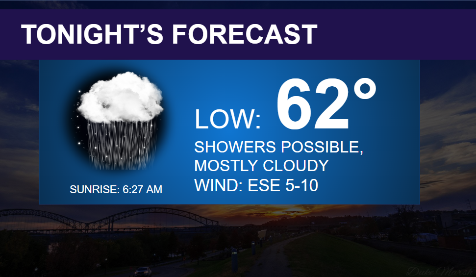
Today, we’ll have just a few light rain showers/sprinkles, otherwise, mainly dry and warm in the mid-upper 70s. A light east wind at 5-10 mph. Showers possible tonight, with lows in the lower 60s.


Have a good Monday! – Meteorologist Ben Peine


