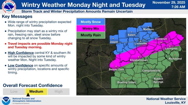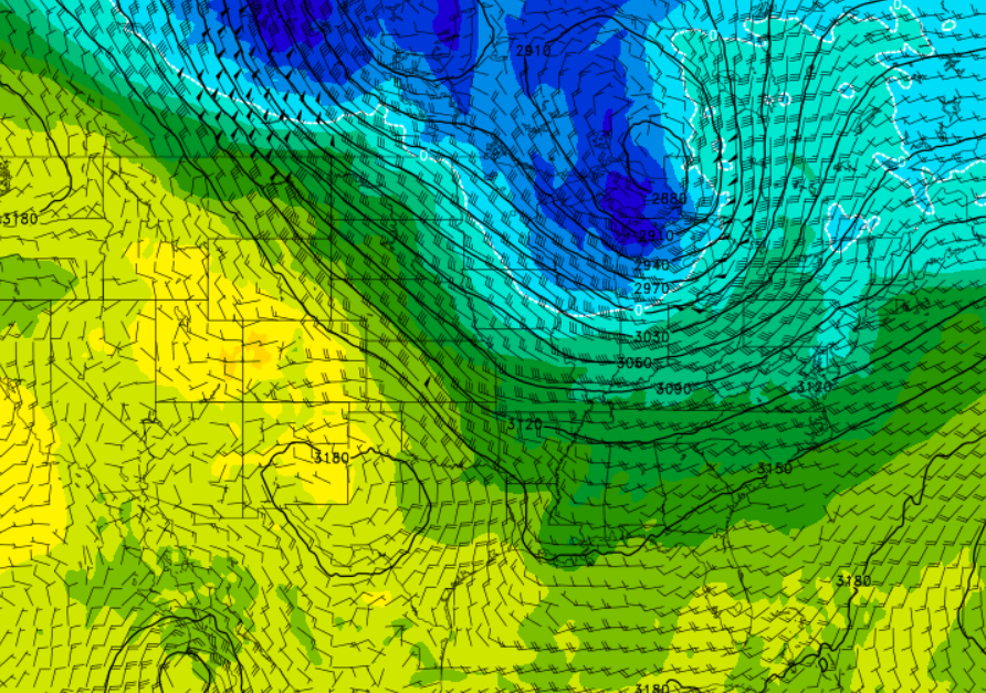
Below normal temperatures will remain for our first week of September, and we’ll get a much-needed rain chance with a cold front early Thursday.
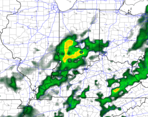
The first rain chance this week is a small one Tuesday morning, mainly off to the south of Louisville, which you can see on the maps below.
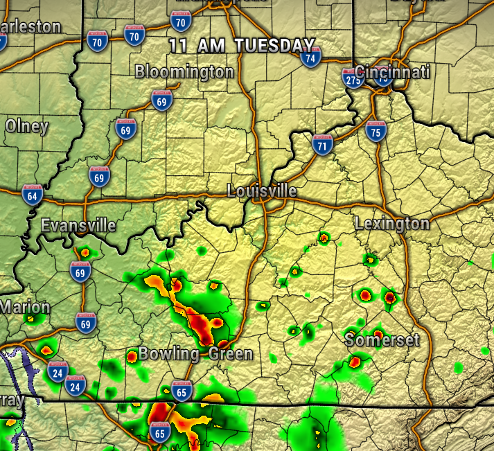
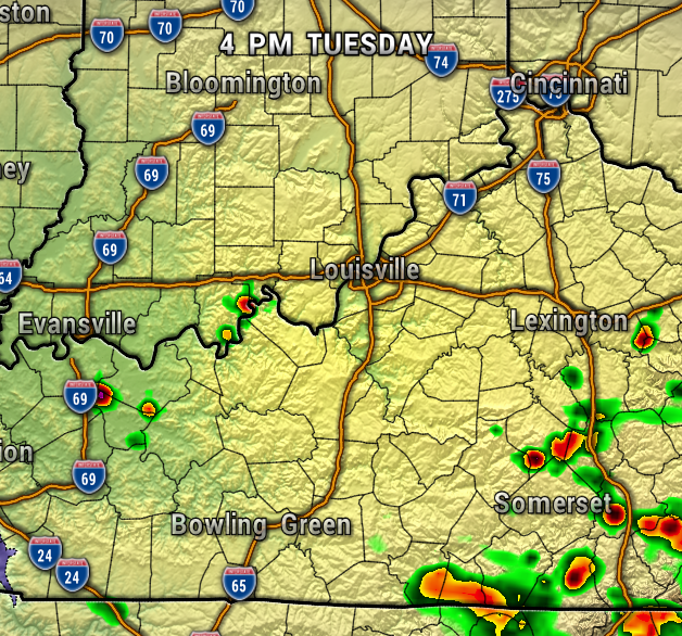
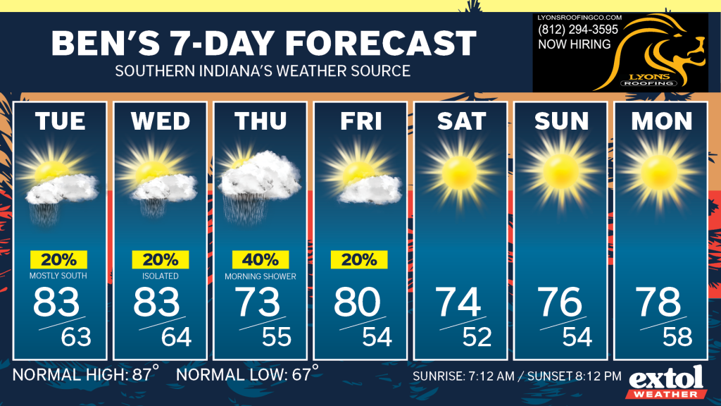
So, most areas will stay dry Tuesday and Wednesday, with highs in the lower 80s.
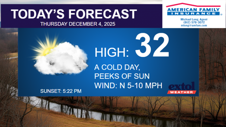
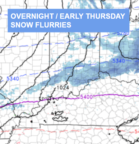
Our next cold will bring our best chance of showers early Thursday, along with cooler conditions Thursday. It’s been about two weeks since our last measurable rain, so this is a much needed rain chance as drought conditions could worsen this week.
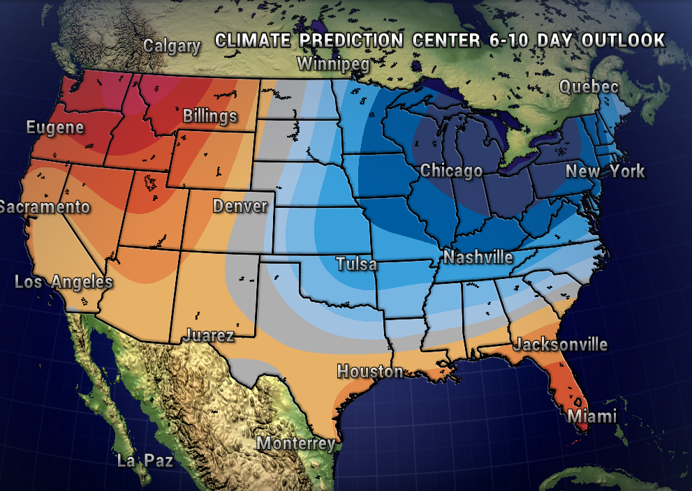
A reinforcing cool front could bring an isolated shower Friday afternoon, but most areas will be dry. This front will keep cooler-than-normal temperatures around for this weekend. Notice the northwest cool flow from Canada which we keep our temperature pattern below normal. The Climate Prediction Center‘s 6-10 Day Outlook also has high confidence in this cool autumn-like pattern.

All in all, our forecast remains pleasant through our first week of September.
Have a great first week of September! -Ben


