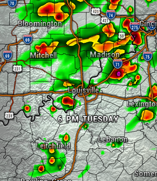
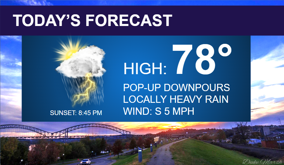
As a stubborn upper-level low pressure system lingers over the Ohio Valley today, we’ll have a chance of pop-up showers and storms this afternoon.
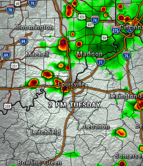
There is not much wind in the atmosphere, so any downpour could be a very slow-mover, and put down locally heavy rainfall. The maps below shows the activity at 2 PM and 6 PM. After sunset, as we lose daytime heating, most of the showers will begin to fade away.

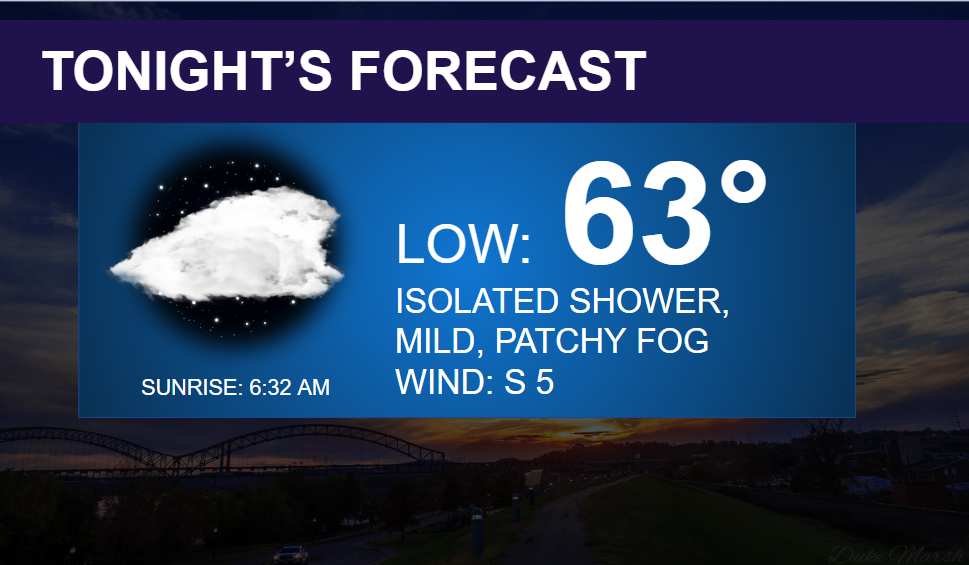
Other than the pop-up storm chances, this afternoon will be seasonably warm with highs in the upper 70s, and a very light south breeze at 5 mph. Mostly cloudy with an isolated shower possible tonight, with lows in the lower 60s. Patchy fog possible.
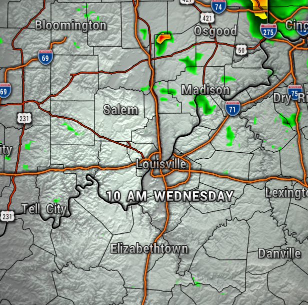
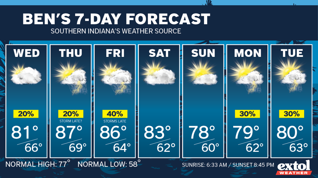
Most of our Wednesday will be dry with highs in the lower 80s. Only an isolated shower possible, mainly to the northeast.
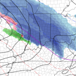
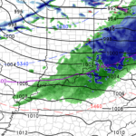
For the rest of this week, our daytimes are looking mostly dry with a big warming trend Thursday. With that said, the models are calling for a couple rounds of storms possible late Thursday and late Friday. However, hopefully, with those evening and night storm chances, this will leave much of our day dry. The maps below show storm chances Thursday and Friday evening.
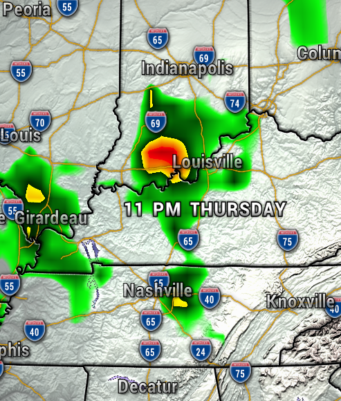
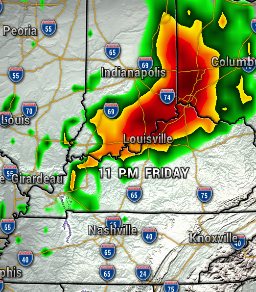
A summer-like feel Thursday with highs possibly in the upper 80s, which could be our warmest temperatures so far this year. So far, this weekend is looking dry with highs in the upper 70s and lower 80s.

Have a great Tuesday! -Meteorologist Ben Peine


