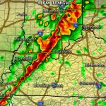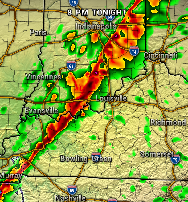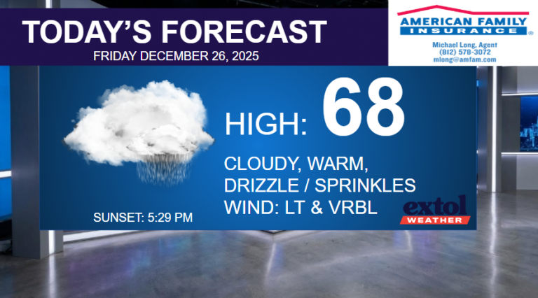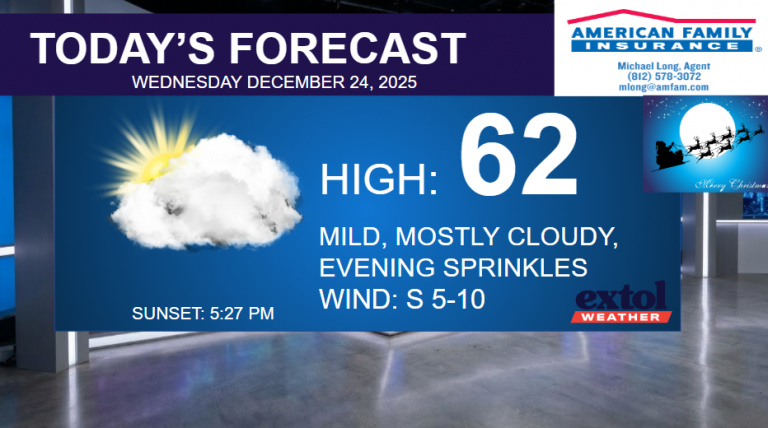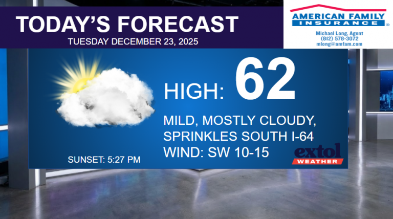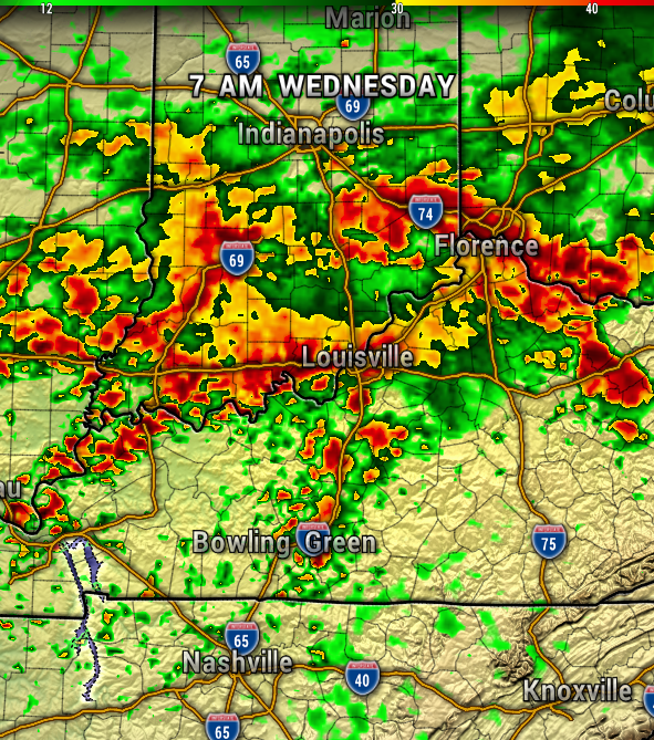
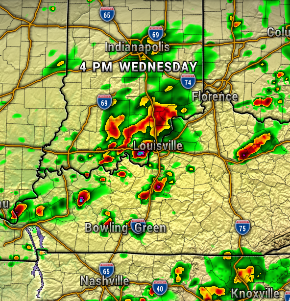
Much of today will be dry, but by this evening showers will likely begin to spread our way once again. The rain is expected to become heavier with scattered thunderstorms overnight into Wednesday.
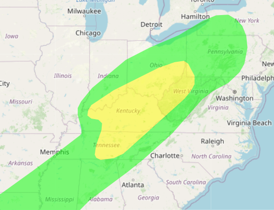
The Weather Prediction Center has our region under a Slight Risk for Excessive Rainfall for Wednesday. Additional rainfall totals of 1-3″ (locally higher) through Thursday. So from drought, to isolated flooding issues.
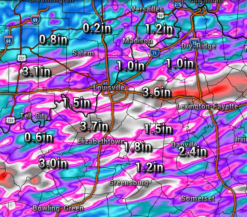
You’ll see the timing of this rain below, with initially light rain showers this evening, then turning heavier into Wednesday.
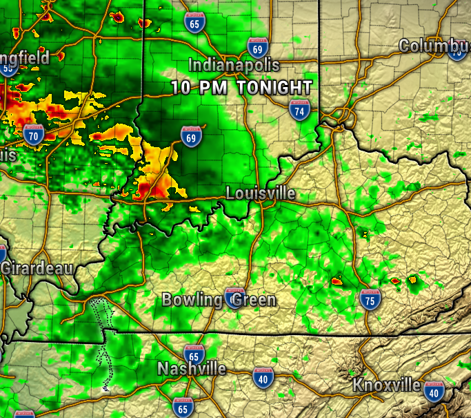

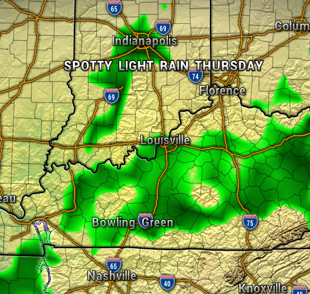
We’ll keep some lingering spotty light rain showers around for Thursday, especially in the morning.
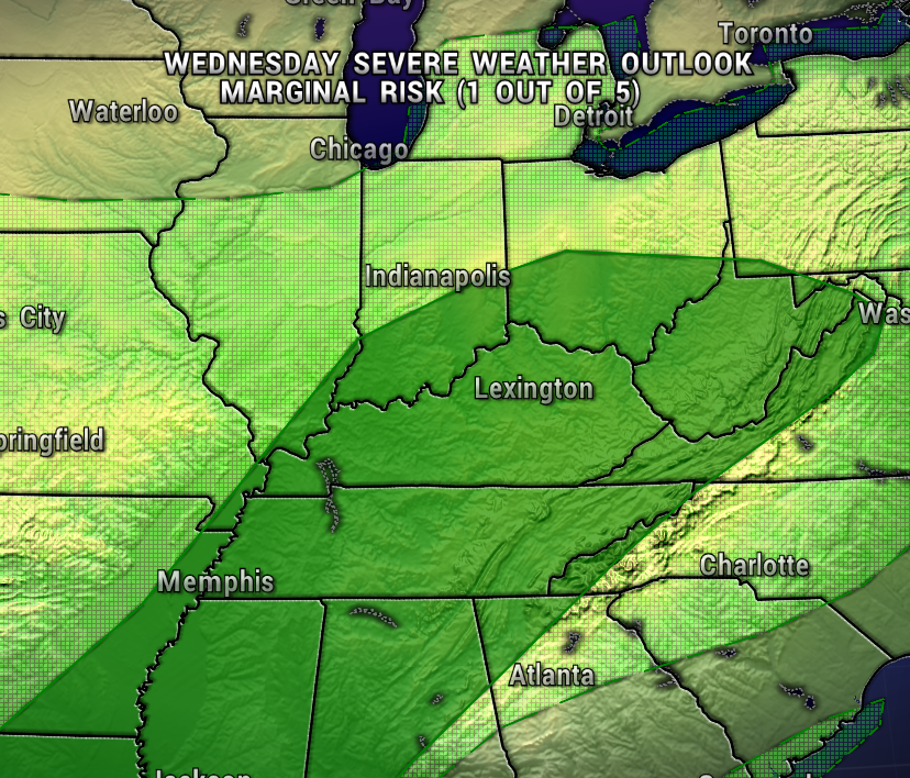
Thankfully, the severe weather threat will remain low for Southern Indiana. The Storm Prediction Center has our area under a Level 1 out of 5 (Marginal Risk) for strong to severe storms Wednesday.
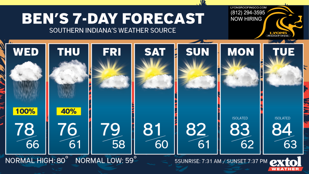
Our weather is looking pretty good for this weekend with seasonably warm afternoons and cool nights.
-Meteorologist Ben Peine


