Temperatures will be climbing as the month of June begins this week!
June begins what we call “Meteorological” summer. To more easily keep statistics, meteorologists keep track of summer data June through August. While, the astronomical summer season doesn’t officially begin until June 20th.
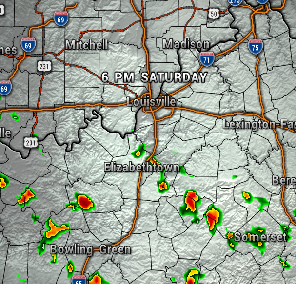
Today will be partly sunny, but a bit hazy, thanks for wildfire smokes flowing over the region from Canada. A weak front will bring just an isolated showers across the area (20%), so most of our Saturday will be dry and pleasant. Today also begins 9:00 PM sunset, which continue through most of July – the longest days of the year!
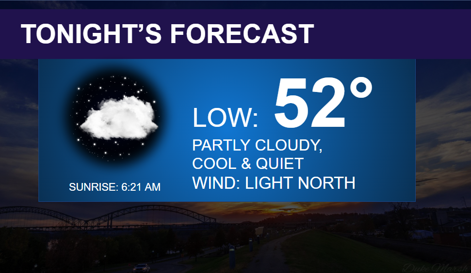
Tonight will be partly cloudy and cooler.
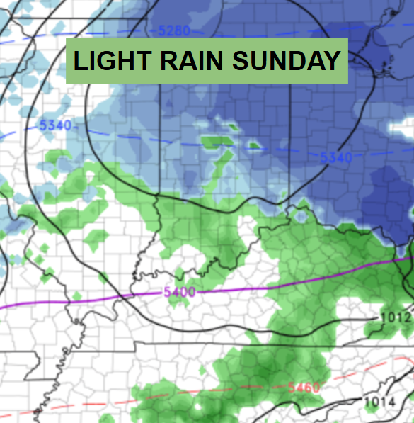
The high resolution models barely picking up a that small rain chance today.

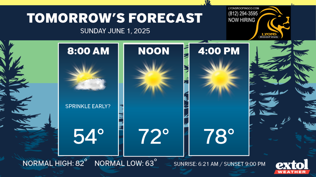
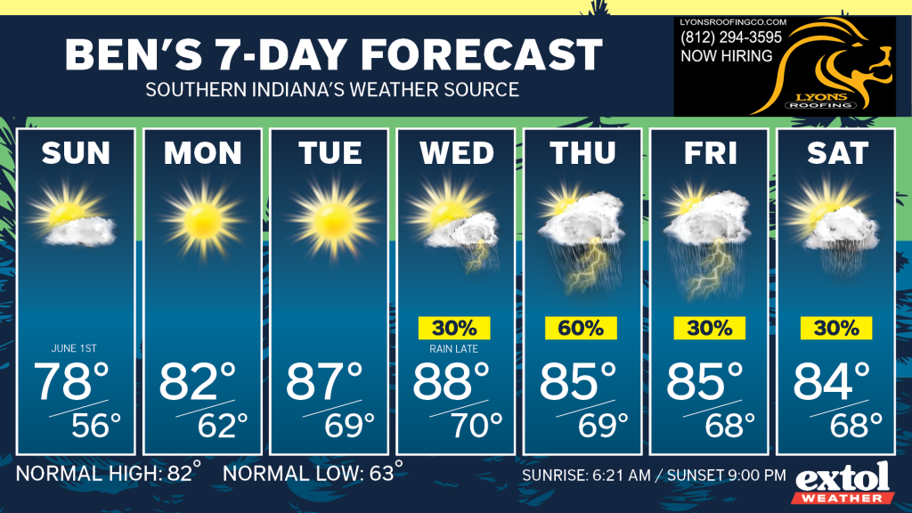
Sunday is June 1st, and it will be quite nice, with sunshine and highs in the upper 70s. Light north breeze at 5-10 mph.
Temperatures will keep heading up this week as a ridge of high pressure settles over the region, also keeping us dry Sunday through most of Wednesday. The humidity will stay fairly low, but will be creeping up with more summer-like conditions day by day.
Our warmest temperatures of the year so far are likely with upper 80s Tuesday and Wednesday.
Unsettled weather with rain/storms will return late Wednesday through next weekend.
Have a great rest of your weekend! – Meteorologist Ben Peine


