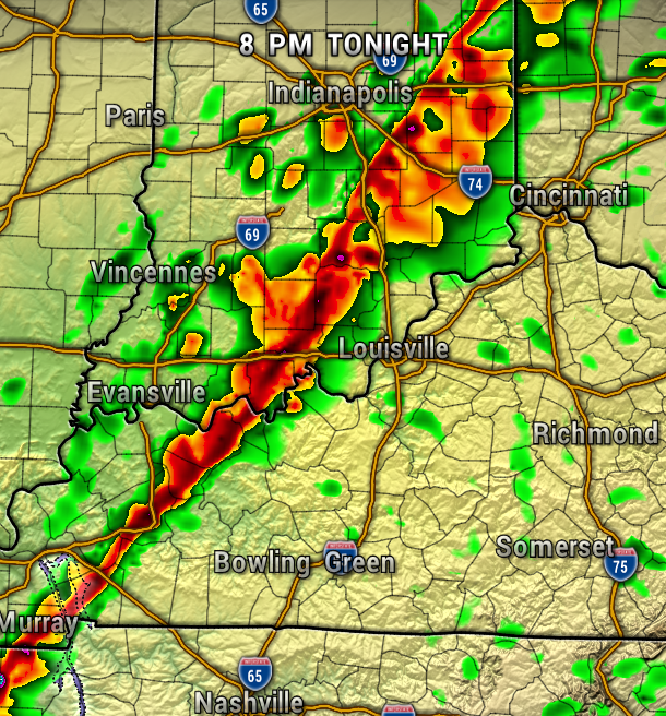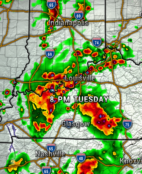
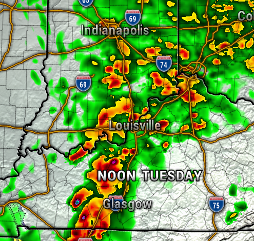
Southern Indiana and Kentucky will need to brace for a couple rounds of strong to severe storms today. After an early morning batch of showers and storms, a warm front will bring the next potentially stronger round of storms around midday, then the final round arrives ahead of a cold front early this evening.
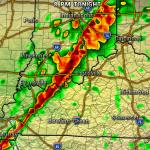
The maps below shows the timing at Noon and 8 PM today.

Unfortunately, all hazards are in play today, with storms capable of damaging straight-line winds, large hail, heavy rain, frequent lightning, and tornadoes possible. Simply have your severe weather plan ready to go, and be ready to seek shelter immediately if a warning is issued.
The Storm Prediction Center has most of Southern Indiana in a Level 2 out of 5 Risk of Severe Storms today (Slight Risk). Areas generally along and south of I-64 are under a Level 3 Enhanced Risk. There is a threat of tornadoes, with the threat a bit higher in Kentucky.
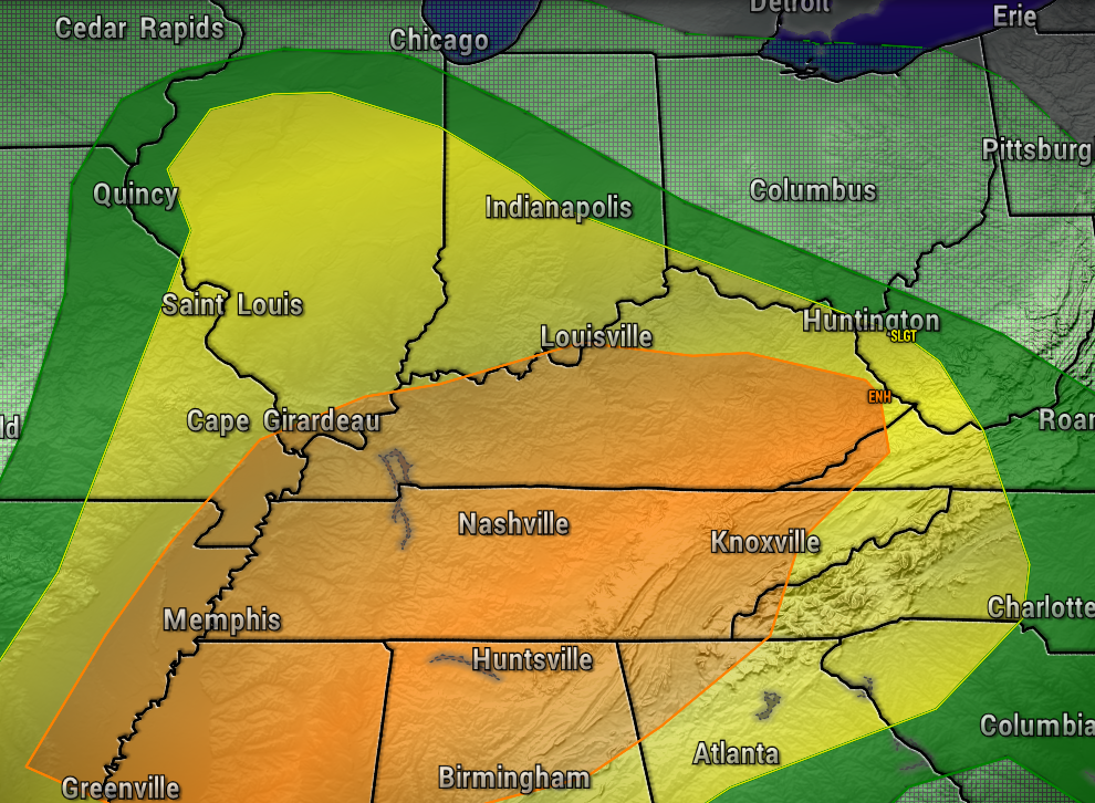
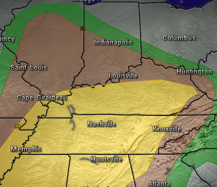
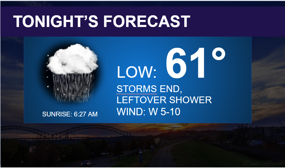
The risk of severe storms will diminish quickly after sunset for most of Southern Indiana.
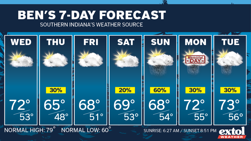
Cooler air arrives behind the front for the rest of this week with highs in the 60s. A few light rain showers could return Thursday afternoon. Showers again possibly Sunday through early next week as our weather pattern stays unsettled.
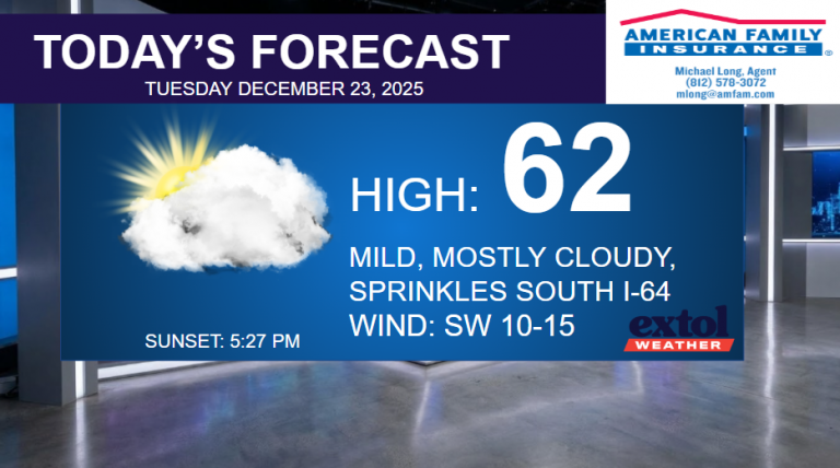
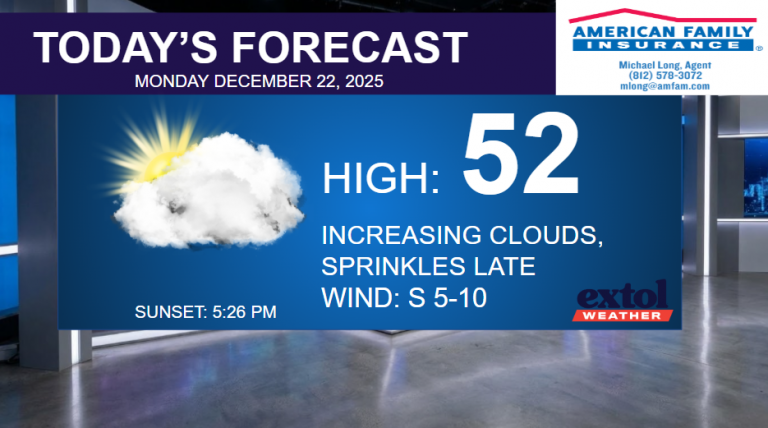
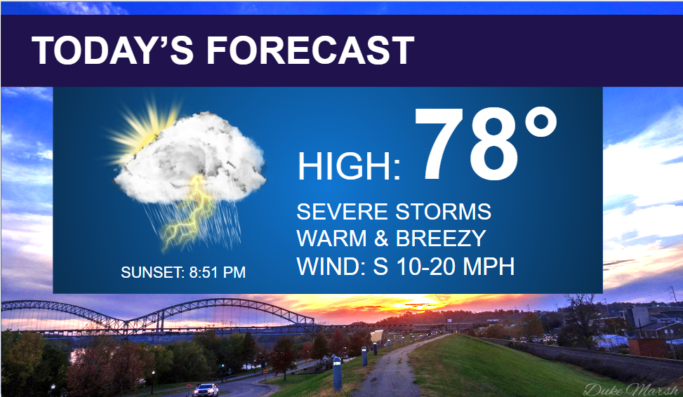
Outside of the storm chances today, expect highs in the upper 70s, and a bit breezy, south winds at 10-20 mph.

Stay safe! Have a great Tuesday. – Meteorologist Ben Peine


