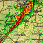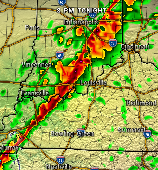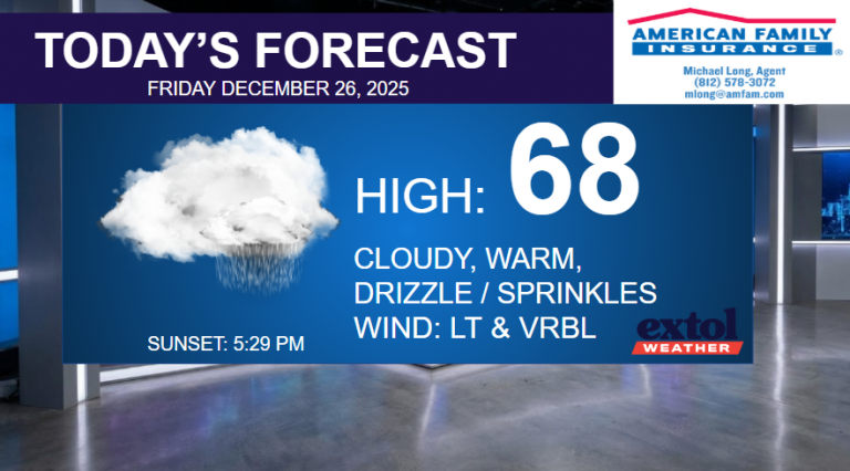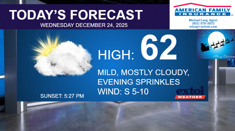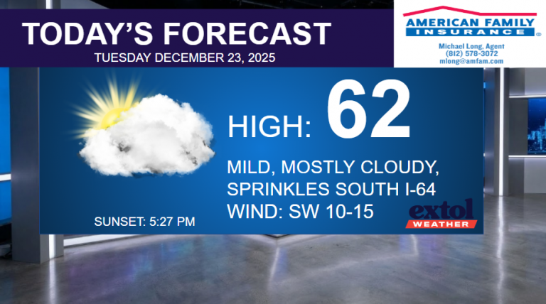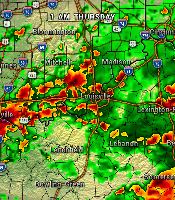
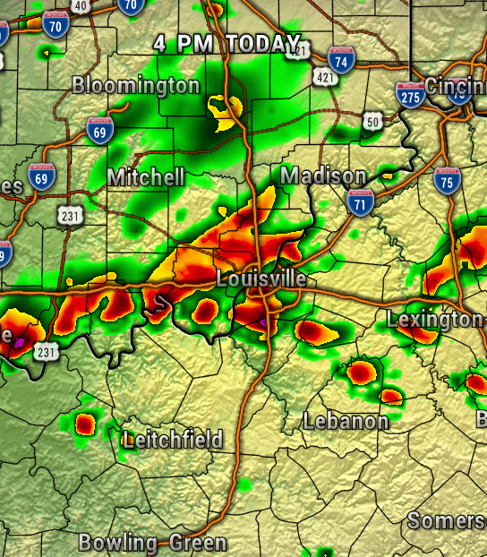
A low-pressure system will continue to slowly move through the region today with rounds of showers and thunderstorms. Thankfully, the severe weather threat is very low, but we’ll just need to keep an eye out for localized flooding through tonight.
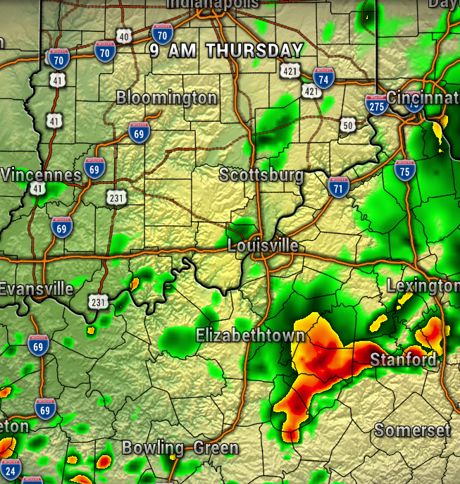
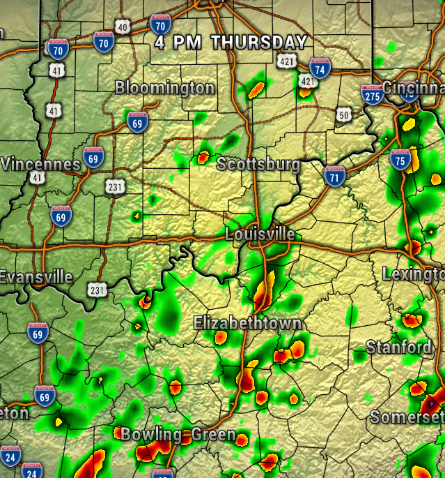
The maps below show more of the heavy rain potential at times today and through late tonight.

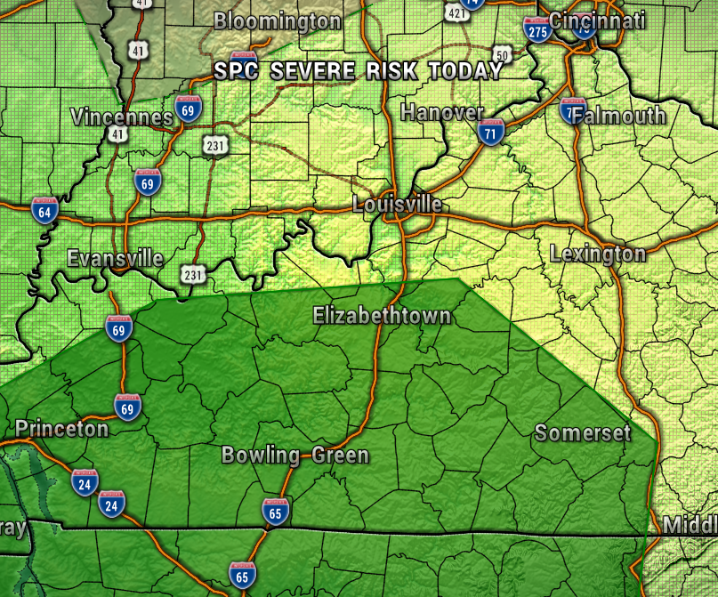
The Storm Prediction Center just has areas in Kentucky under a Level 1 out of 5 (Marginal) risk of severe storms.
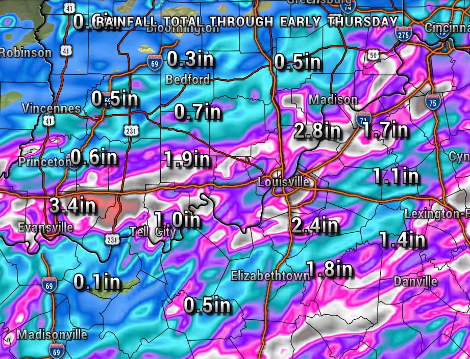
Rainfall totals by late tonight could range from a 1/2″ up to 3″ in spots.
We’ll be on the backside of the system Thursday, so just a few spotty isolated showers will be possible. Overall, Indiana looks drier than Kentucky for Thursday.
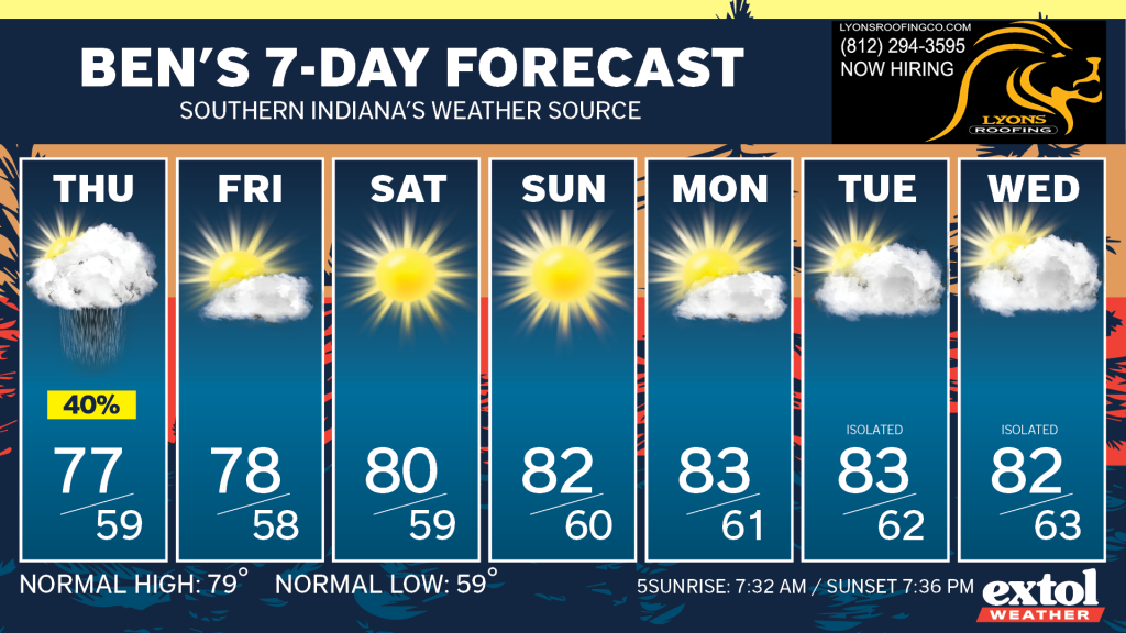
It’s shaping up to be a nice first weekend of fall with seasonably warm and dry conditions. This could be the beginning of another long dry spell taking us through next week as well.
- Meteorologist Ben Peine. Our Weather Story today is powered by Michael Long Insurance (American Family)


