Cooler than normal temperatures will persist today through much of next week, with rain chances ramping up for Memorial Day.
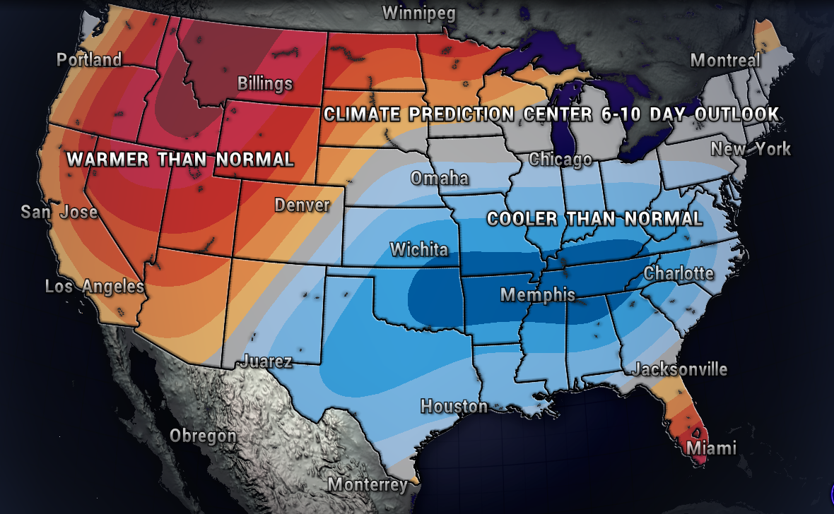
The map below shows the Climate Prediction Center’s 6-10 day temperatures outlook. All of that blue means above average chances of below normal temperatures, with all of the warmth out west.

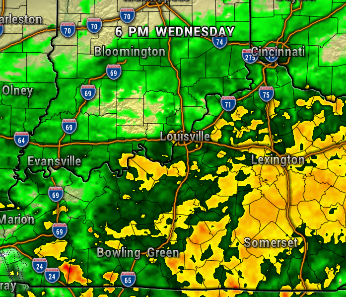
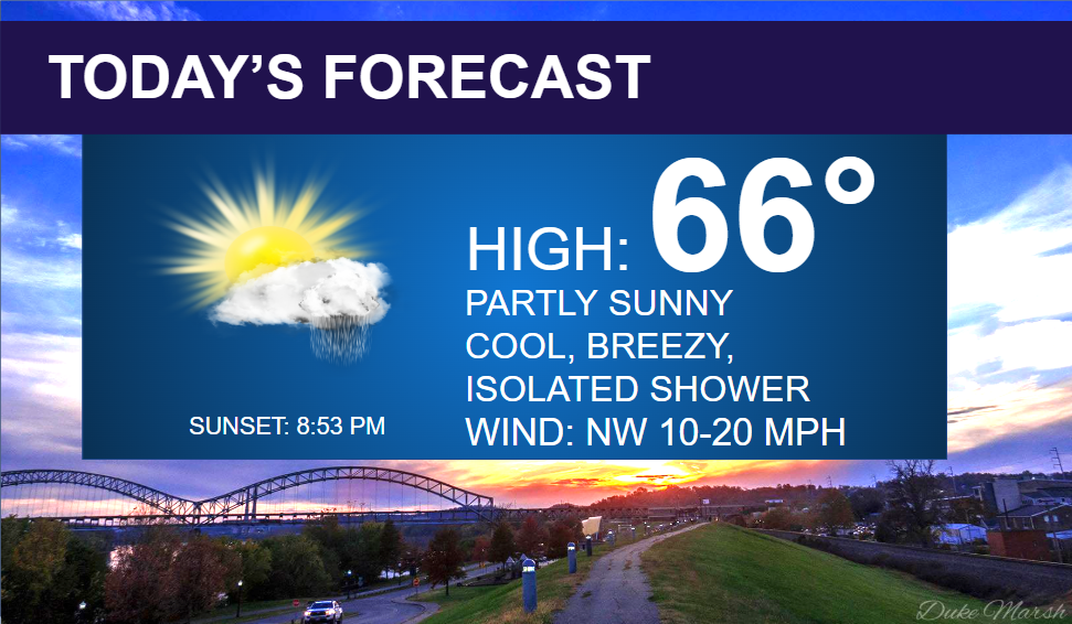
Today will be mostly dry, with just a small chance of an isolated afternoon/early evening shower. A disturbance will rotate around an upper-level low pressure system to our northwest, and be close enough to our region, to kick up a few isolated showers. Most of today will be dry though, partly sunny, with highs in the mid-60s, about 15° below normal for this time of year.
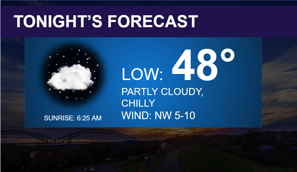
Clearing and chilly tonight with lows in the upper 40s. Time to turn the furnace back on?

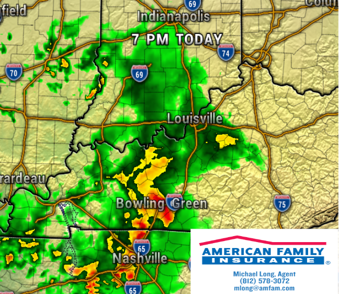
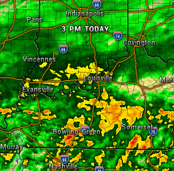
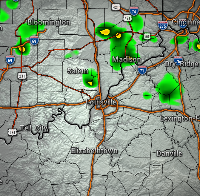
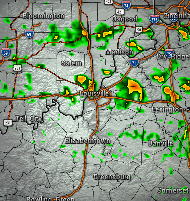
Notice the isolated shower chances popping this afternoon the high-resolution weather models. These maps are at 5 PM. I do think the NAM 3KM on the right is a bit more aggressive than reality.
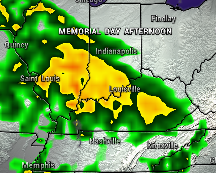
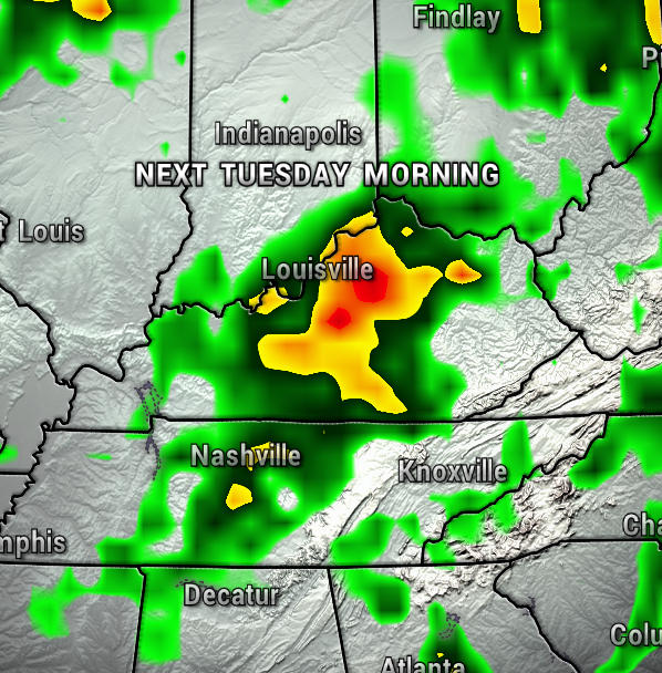
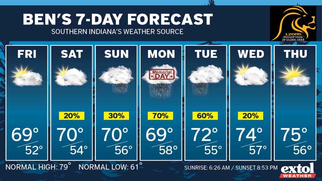
Now, looking ahead through our holiday weekend, it looks like our highest rain chances will unfortunately be on Memorial Day. Plan on wet conditions returning early next week.
I hope you have a good Thursday! – Meteorologist Ben Peine


